549 Buck Lick Rd Red House, WV 25168
Estimated Value: $89,000 - $147,000
3
Beds
2
Baths
1,188
Sq Ft
$103/Sq Ft
Est. Value
About This Home
This home is located at 549 Buck Lick Rd, Red House, WV 25168 and is currently estimated at $122,670, approximately $103 per square foot. 549 Buck Lick Rd is a home.
Ownership History
Date
Name
Owned For
Owner Type
Purchase Details
Closed on
Mar 12, 2019
Sold by
Baker Steven Lee and Isner Karen Lynn
Bought by
Neeley Gertrude
Current Estimated Value
Home Financials for this Owner
Home Financials are based on the most recent Mortgage that was taken out on this home.
Original Mortgage
$40,000
Outstanding Balance
$35,095
Interest Rate
4.3%
Mortgage Type
New Conventional
Estimated Equity
$87,575
Purchase Details
Closed on
Aug 14, 2006
Sold by
Jones Jason and Jones Leighann
Bought by
Baker Steven Lee and Isner Karen Lynn
Create a Home Valuation Report for This Property
The Home Valuation Report is an in-depth analysis detailing your home's value as well as a comparison with similar homes in the area
Home Values in the Area
Average Home Value in this Area
Purchase History
| Date | Buyer | Sale Price | Title Company |
|---|---|---|---|
| Neeley Gertrude | $44,914 | None Available | |
| Baker Steven Lee | $13,000 | -- |
Source: Public Records
Mortgage History
| Date | Status | Borrower | Loan Amount |
|---|---|---|---|
| Open | Neeley Gertrude | $40,000 |
Source: Public Records
Tax History Compared to Growth
Tax History
| Year | Tax Paid | Tax Assessment Tax Assessment Total Assessment is a certain percentage of the fair market value that is determined by local assessors to be the total taxable value of land and additions on the property. | Land | Improvement |
|---|---|---|---|---|
| 2024 | $684 | $51,060 | $14,160 | $36,900 |
| 2023 | $575 | $49,440 | $13,740 | $35,700 |
| 2022 | $353 | $49,320 | $14,280 | $35,040 |
| 2021 | $303 | $45,060 | $13,620 | $31,440 |
| 2020 | $343 | $48,360 | $16,320 | $32,040 |
| 2019 | $579 | $47,160 | $17,700 | $29,460 |
| 2018 | $578 | $46,920 | $17,700 | $29,220 |
| 2017 | $578 | $46,560 | $17,700 | $28,860 |
| 2016 | $492 | $39,420 | $13,620 | $25,800 |
| 2015 | $498 | $39,600 | $13,620 | $25,980 |
| 2014 | -- | $35,160 | $9,000 | $26,160 |
Source: Public Records
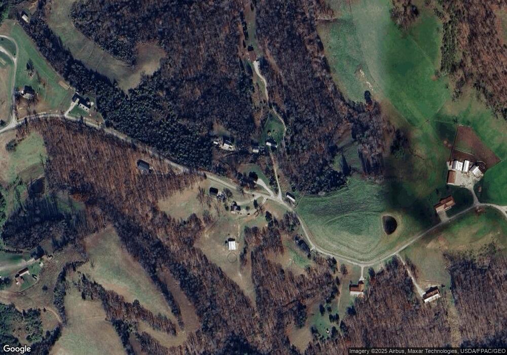
Map
Nearby Homes
- 337 Buck Lick Rd
- 2136 Grandview Ridge Rd
- 140 Bowles Ridge Rd
- 2966 Spring Branch Rd
- 3396 Spring Branch Rd
- 2274 Steele Ridge Rd
- 5291 Eighteen Mile Creek Rd
- 983 Hawkins Rd
- 327 Kanawha View Road Access
- 11726 Charleston Rd
- 440 N 1st Ave N
- 95 5th Ave N
- 507 Gritt Rd
- 25 Thornton Ln
- 43 Jordon Dr
- 39 Jordon Dr
- 41 Jordon Dr
- 438 Aviators Point
- 31 Jordon Dr
- 38 Summit Pointe
- 585 Buck Lick Rd
- 141 Bronco Rd
- 492 Bronco Jct
- 145 Bradshaw Point
- 0 Bronco Junction Rd
- 710 Buck Lick Rd
- 138 Bronco Junction Rd Unit C
- 143 Bronco Rd
- 61 Bronco Rd
- 130 Matthew Rd
- 463 Mathews Rd
- 143 E Bronco Rd
- 85 Buck Lick
- 1311 Grandview Ridge Rd
- 217 Matthews Rd
- 2511 Grandview Ridge Rd
- 1565 Grandview Ridge
- 2370 Grandview Ridge Rd
- 2740 Grandview Ridge Rd
- 382 Mathews Rd