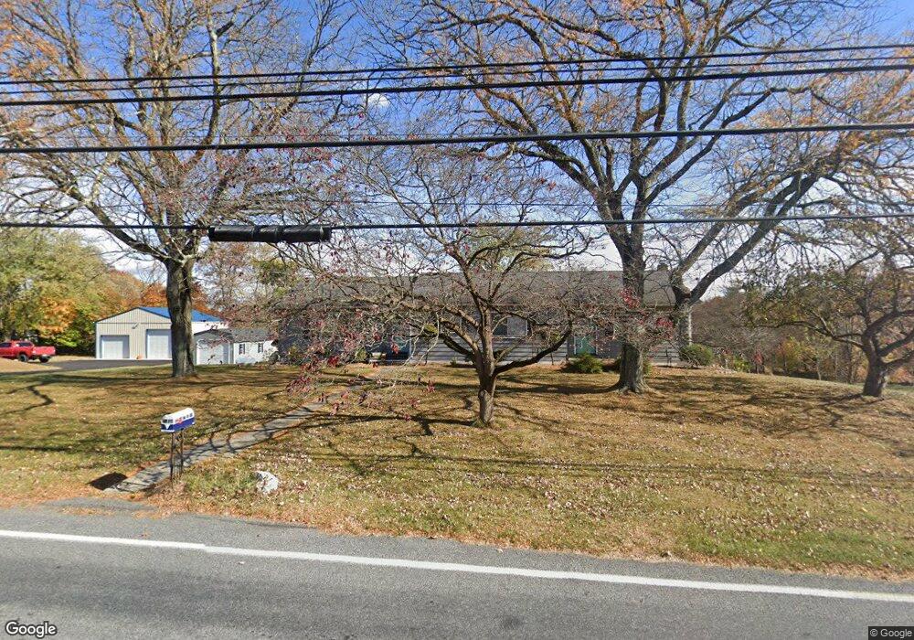
549 Locke Heights Rd Bangor, PA 18013
Estimated Value: $218,000 - $354,000
3
Beds
2
Baths
1,740
Sq Ft
$182/Sq Ft
Est. Value
About This Home
This home is located at 549 Locke Heights Rd, Bangor, PA 18013 and is currently estimated at $316,667, approximately $181 per square foot. 549 Locke Heights Rd is a home located in Northampton County with nearby schools including Bangor Area High School and Faith Christian School.
Ownership History
Date
Name
Owned For
Owner Type
Purchase Details
Closed on
Jul 27, 2016
Sold by
Rader Earl R and Revocabl Grace S Rader
Bought by
Duffield Andrew J
Current Estimated Value
Home Financials for this Owner
Home Financials are based on the most recent Mortgage that was taken out on this home.
Original Mortgage
$105,000
Outstanding Balance
$66,371
Interest Rate
3.56%
Mortgage Type
Purchase Money Mortgage
Estimated Equity
$250,296
Create a Home Valuation Report for This Property
The Home Valuation Report is an in-depth analysis detailing your home's value as well as a comparison with similar homes in the area
Home Values in the Area
Average Home Value in this Area
Purchase History
| Date | Buyer | Sale Price | Title Company |
|---|---|---|---|
| Duffield Andrew J | $95,750 | None Available |
Source: Public Records
Mortgage History
| Date | Status | Borrower | Loan Amount |
|---|---|---|---|
| Open | Duffield Andrew J | $105,000 |
Source: Public Records
Tax History Compared to Growth
Tax History
| Year | Tax Paid | Tax Assessment Tax Assessment Total Assessment is a certain percentage of the fair market value that is determined by local assessors to be the total taxable value of land and additions on the property. | Land | Improvement |
|---|---|---|---|---|
| 2025 | $699 | $64,700 | $17,400 | $47,300 |
| 2024 | $4,895 | $64,700 | $17,400 | $47,300 |
| 2023 | $4,863 | $64,700 | $17,400 | $47,300 |
| 2022 | $4,863 | $64,700 | $17,400 | $47,300 |
| 2021 | $4,928 | $64,700 | $17,400 | $47,300 |
| 2020 | $4,829 | $63,400 | $17,400 | $46,000 |
| 2019 | $4,762 | $63,400 | $17,400 | $46,000 |
| 2018 | $4,664 | $63,400 | $17,400 | $46,000 |
| 2017 | $4,629 | $63,400 | $17,400 | $46,000 |
| 2016 | -- | $58,400 | $17,400 | $41,000 |
| 2015 | -- | $58,400 | $17,400 | $41,000 |
| 2014 | -- | $58,400 | $17,400 | $41,000 |
Source: Public Records
Map
Nearby Homes
- 54 Peter Jacob Dr
- 311 Rutt Rd
- 30 S Broad St
- 216 Blaine St
- 230 Blaine St
- 234 W Central Ave
- 701 Rutt Rd
- 28 S Main St
- 16 Broadway
- 0 Pennsylvania Ave Unit 750410
- 16 Mill Ave
- 203 Bangor St
- 665 S Main St
- 315 S 2nd St
- 39 N 4th St
- 407 Pennsylvania Ave
- 412 Pennsylvania Ave
- 439 Five Points Richmond Rd
- 436 Pennsylvania Ave
- 529 Market St
- 000 Rutt Rd
- 571 Locke Heights Rd
- 0 Rutt Rd
- 11 Rutt Rd
- 572 Locke Heights Rd
- 591 Locke Heights Rd
- 10 Rutt Rd
- 588 Locke Heights Rd
- 32 Bunny Trail Rd
- 24 Rutt Rd
- 541 Locke Heights Rd
- 596 Locke Heights Rd
- 501 Locke Heights Rd
- 35 Rutt Rd
- 7 Birchwood Rd
- 32 Rutt Rd
- 40 Fernwood Rd
- 604 Locke Heights Rd
- 611 Locke Heights Rd
- 496 Locke Heights Rd