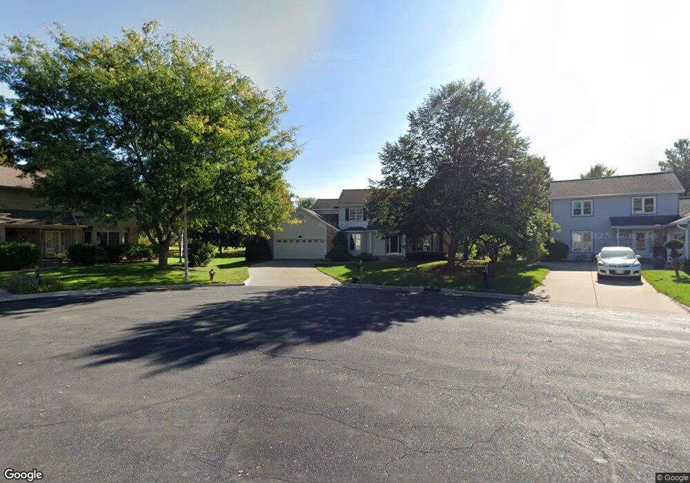
549 Matts Cir Verona, WI 53593
Estimated Value: $540,000 - $663,000
4
Beds
2
Baths
--
Sq Ft
0.36
Acres
About This Home
This home is located at 549 Matts Cir, Verona, WI 53593 and is currently estimated at $614,377. 549 Matts Cir is a home located in Dane County with nearby schools including Glacier Edge Elementary School, Savanna Oaks Middle School, and Verona Area High School.
Ownership History
Date
Name
Owned For
Owner Type
Purchase Details
Closed on
Jun 9, 2015
Sold by
Rickard Steven K and Rickard Margaret A
Bought by
Laufenberg Vincent and Grant Amy
Current Estimated Value
Home Financials for this Owner
Home Financials are based on the most recent Mortgage that was taken out on this home.
Original Mortgage
$276,400
Outstanding Balance
$213,312
Interest Rate
3.65%
Mortgage Type
New Conventional
Estimated Equity
$401,065
Purchase Details
Closed on
Feb 4, 2014
Sold by
Rickard Steven K and Rickard Margaret A
Bought by
Rickard Steven K and Rickard Margaret A
Create a Home Valuation Report for This Property
The Home Valuation Report is an in-depth analysis detailing your home's value as well as a comparison with similar homes in the area
Home Values in the Area
Average Home Value in this Area
Purchase History
| Date | Buyer | Sale Price | Title Company |
|---|---|---|---|
| Laufenberg Vincent | $345,500 | Attorney | |
| Rickard Steven K | -- | None Available |
Source: Public Records
Mortgage History
| Date | Status | Borrower | Loan Amount |
|---|---|---|---|
| Open | Laufenberg Vincent | $276,400 |
Source: Public Records
Tax History Compared to Growth
Tax History
| Year | Tax Paid | Tax Assessment Tax Assessment Total Assessment is a certain percentage of the fair market value that is determined by local assessors to be the total taxable value of land and additions on the property. | Land | Improvement |
|---|---|---|---|---|
| 2024 | $9,662 | $612,100 | $118,900 | $493,200 |
| 2023 | $9,164 | $516,700 | $104,500 | $412,200 |
| 2021 | $8,303 | $436,500 | $94,900 | $341,600 |
| 2020 | $8,850 | $436,500 | $94,900 | $341,600 |
| 2019 | $7,571 | $325,100 | $88,700 | $236,400 |
| 2018 | $7,510 | $325,100 | $88,700 | $236,400 |
| 2017 | $7,320 | $325,100 | $88,700 | $236,400 |
| 2016 | $7,029 | $325,100 | $88,700 | $236,400 |
| 2015 | $7,057 | $325,100 | $88,700 | $236,400 |
| 2014 | -- | $325,100 | $88,700 | $236,400 |
| 2013 | $7,111 | $325,100 | $88,700 | $236,400 |
Source: Public Records
Map
Nearby Homes
- 657 Thornton Terrace
- 511 Harvest Ln
- 731 Ariel Ln
- 571 S Hillcrest Dr
- 859 Kimball Ln
- 436 Goldenrod Cir Unit 14
- 710 Mozart St
- 772 Marlow Bay
- 300 Military Ridge Dr
- 312 Schweitzer Dr
- 6690 Grandview Rd
- 102 Prairie Heights Dr Unit 416
- 188 Depot Dr
- 1045 Range Trail
- 143 Paoli St
- 955 Westminster Way
- 1208 Merry Blossom Ln
- 202 W Verona Ave
- 1252 Merry Blossom Ln
- 6435 County Highway M