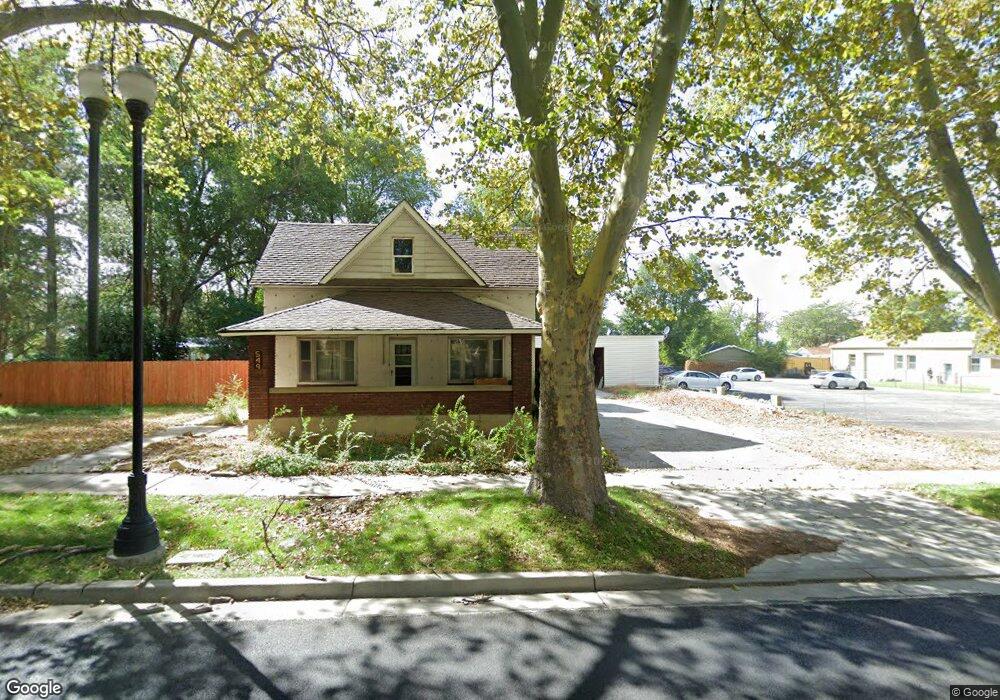
549 N Main St Brigham City, UT 84302
Estimated Value: $370,398 - $515,000
6
Beds
2
Baths
2,559
Sq Ft
$165/Sq Ft
Est. Value
About This Home
This home is located at 549 N Main St, Brigham City, UT 84302 and is currently estimated at $422,850, approximately $165 per square foot. 549 N Main St is a home located in Box Elder County with nearby schools including Discovery School, Box Elder Middle School, and Adele C. Young Intermediate School.
Ownership History
Date
Name
Owned For
Owner Type
Purchase Details
Closed on
Nov 25, 2020
Sold by
Frost Lindsay and Estate Of Gary N Frost
Bought by
Lyons Drey T
Current Estimated Value
Home Financials for this Owner
Home Financials are based on the most recent Mortgage that was taken out on this home.
Original Mortgage
$213,303
Outstanding Balance
$190,242
Interest Rate
2.8%
Mortgage Type
New Conventional
Estimated Equity
$232,608
Create a Home Valuation Report for This Property
The Home Valuation Report is an in-depth analysis detailing your home's value as well as a comparison with similar homes in the area
Home Values in the Area
Average Home Value in this Area
Purchase History
| Date | Buyer | Sale Price | Title Company |
|---|---|---|---|
| Lyons Drey T | -- | Phillips Hansen Land Ttl Co |
Source: Public Records
Mortgage History
| Date | Status | Borrower | Loan Amount |
|---|---|---|---|
| Open | Lyons Drey T | $213,303 |
Source: Public Records
Tax History Compared to Growth
Tax History
| Year | Tax Paid | Tax Assessment Tax Assessment Total Assessment is a certain percentage of the fair market value that is determined by local assessors to be the total taxable value of land and additions on the property. | Land | Improvement |
|---|---|---|---|---|
| 2025 | $1,917 | $372,827 | $105,000 | $267,827 |
| 2024 | $1,917 | $369,000 | $100,000 | $269,000 |
| 2023 | $1,994 | $393,142 | $95,000 | $298,142 |
| 2022 | $1,526 | $153,798 | $22,000 | $131,798 |
| 2021 | $1,505 | $212,839 | $40,000 | $172,839 |
| 2020 | $1,310 | $212,839 | $40,000 | $172,839 |
| 2019 | $1,228 | $106,125 | $22,000 | $84,125 |
| 2018 | $1,107 | $95,152 | $22,000 | $73,152 |
| 2017 | $839 | $124,910 | $16,500 | $94,910 |
| 2016 | $162 | $66,215 | $16,500 | $49,715 |
| 2015 | $411 | $61,695 | $16,500 | $45,195 |
| 2014 | $411 | $59,543 | $16,500 | $43,043 |
| 2013 | -- | $59,543 | $16,500 | $43,043 |
Source: Public Records
Map
Nearby Homes
- 613 N 100 E
- 410 N Main St Unit 30
- 410 N Main St Unit 15
- 507 N 200 W
- 535 N 300 E
- 621 N 300 E
- 420 N 200 E
- 760 N Main St
- 330 N 100 W
- 343 N 200 W
- 262 W 800 N
- 682 N 300 W
- 277 N 200 E
- 1422 N 250 W Unit 59
- 787 N 500 W
- 448 Parkinson Dr
- 81 W 925 N
- 117 W 200 N
- Saddlewood Plan at North Point - Brigham City
- Westminster Plan at North Point - Brigham City