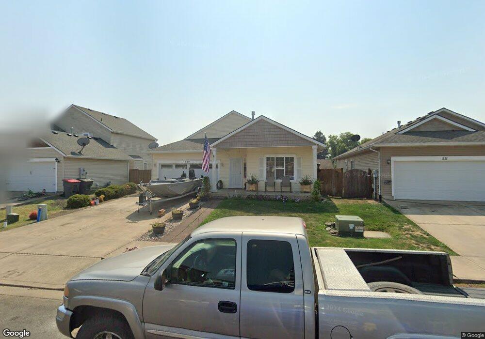
549 NW Blair Loop Sheridan, OR 97378
Estimated Value: $358,000 - $427,000
3
Beds
2
Baths
1,569
Sq Ft
$245/Sq Ft
Est. Value
About This Home
This home is located at 549 NW Blair Loop, Sheridan, OR 97378 and is currently estimated at $384,647, approximately $245 per square foot. 549 NW Blair Loop is a home located in Yamhill County with nearby schools including Faulconer-Chapman School, Sheridan High School, and Sheridan Allprep Academy.
Ownership History
Date
Name
Owned For
Owner Type
Purchase Details
Closed on
Jul 21, 2009
Sold by
Mount George K and Mount Sandra L
Bought by
Brown Barry L and Brown Alisa R
Current Estimated Value
Home Financials for this Owner
Home Financials are based on the most recent Mortgage that was taken out on this home.
Original Mortgage
$173,367
Outstanding Balance
$114,290
Interest Rate
5.59%
Mortgage Type
Purchase Money Mortgage
Estimated Equity
$270,357
Purchase Details
Closed on
Dec 16, 2004
Sold by
Tassy L Davis Builder Inc
Bought by
Mount George K and Mount Sandy L
Purchase Details
Closed on
Aug 11, 2004
Sold by
Norse Woods/Hunters Glen Llc
Bought by
Tassy L Davis Builder Inc
Home Financials for this Owner
Home Financials are based on the most recent Mortgage that was taken out on this home.
Original Mortgage
$103,500
Interest Rate
6.17%
Mortgage Type
Construction
Create a Home Valuation Report for This Property
The Home Valuation Report is an in-depth analysis detailing your home's value as well as a comparison with similar homes in the area
Home Values in the Area
Average Home Value in this Area
Purchase History
| Date | Buyer | Sale Price | Title Company |
|---|---|---|---|
| Brown Barry L | $169,900 | First American Title | |
| Mount George K | $136,900 | Western Title & Escrow Co | |
| Tassy L Davis Builder Inc | $28,200 | Western Title & Escrow |
Source: Public Records
Mortgage History
| Date | Status | Borrower | Loan Amount |
|---|---|---|---|
| Open | Brown Barry L | $173,367 | |
| Previous Owner | Tassy L Davis Builder Inc | $103,500 |
Source: Public Records
Tax History Compared to Growth
Tax History
| Year | Tax Paid | Tax Assessment Tax Assessment Total Assessment is a certain percentage of the fair market value that is determined by local assessors to be the total taxable value of land and additions on the property. | Land | Improvement |
|---|---|---|---|---|
| 2025 | $2,808 | $207,164 | -- | -- |
| 2024 | $2,579 | $201,130 | -- | -- |
| 2023 | $2,504 | $195,272 | $0 | $0 |
| 2022 | $2,435 | $189,584 | $0 | $0 |
| 2021 | $2,756 | $184,062 | $0 | $0 |
| 2020 | $2,663 | $178,701 | $0 | $0 |
| 2019 | $2,616 | $173,496 | $0 | $0 |
| 2018 | $2,542 | $168,443 | $0 | $0 |
| 2017 | $2,495 | $163,537 | $0 | $0 |
| 2016 | $2,414 | $158,774 | $0 | $0 |
| 2015 | $2,304 | $154,152 | $0 | $0 |
| 2014 | $2,192 | $149,664 | $0 | $0 |
Source: Public Records
Map
Nearby Homes
- 0 NW Viola St
- 370 NW Yamhill St
- 328 NW Sherman St
- 617 SW Monroe St
- 240 NW Sagan Loop
- 119 NW Sherman St
- 204 SW Water St
- 18940 SW Canyon Rd
- 21000 SW Canyon Rd
- 518 S Bridge St
- 243 SE Harney St
- 1200 Blk NE Center St Unit Parcel 4
- 240 SW Jefferson St
- 0 NE Center St Unit 1 491349230
- 0 NE Center St Unit 2 430429617
- 0 NE Center St Unit 3 552444847
- 0 NE Center St Unit 4 271594201
- 735 SW Mill St
- 1200 NE Center St Unit Par 1
- 1200 NE Center St Unit Parce2
- 547 NW Blair Loop
- 551 NW Blair Loop
- 545 NW Blair Loop
- 553 NW Blair Loop
- 536 NW Blair Loop
- 543 NW Blair Loop
- 534 NW Blair Loop
- 532 NW Blair Loop
- 555 NW Blair Loop
- 541 NW Blair Loop
- 557 NW Blair Loop
- 530 NW Blair Loop
- 538 NW Blair Loop
- 557 NW Blair Loop
- 581 NW Sherman St
- 559 NW Blair Loop
- 302 NW Florence St
- 561 NW Blair Loop
- 508 NW Blair St