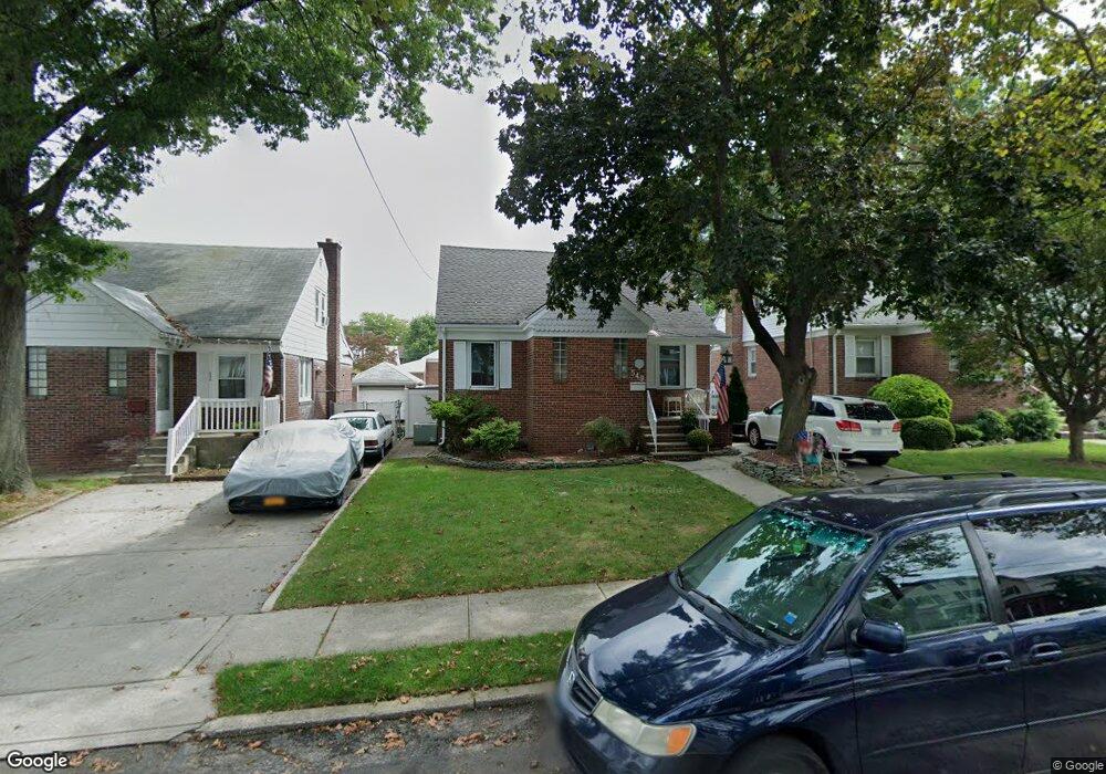
549 Oakland Ave Staten Island, NY 10310
West Brighton NeighborhoodEstimated Value: $629,621 - $851,000
--
Bed
4
Baths
1,058
Sq Ft
$714/Sq Ft
Est. Value
About This Home
This home is located at 549 Oakland Ave, Staten Island, NY 10310 and is currently estimated at $755,405, approximately $713 per square foot. 549 Oakland Ave is a home located in Richmond County with nearby schools including P.S. 45 John Tyler, Is 61 William A Morris, and Curtis High School.
Ownership History
Date
Name
Owned For
Owner Type
Purchase Details
Closed on
Jan 27, 1998
Sold by
Pellegrino Anthony V and Pellegrino Kathleen C
Bought by
Sullivan Christopher T and Sullivan Jodi A
Current Estimated Value
Home Financials for this Owner
Home Financials are based on the most recent Mortgage that was taken out on this home.
Original Mortgage
$156,750
Outstanding Balance
$27,503
Interest Rate
6.9%
Estimated Equity
$727,902
Create a Home Valuation Report for This Property
The Home Valuation Report is an in-depth analysis detailing your home's value as well as a comparison with similar homes in the area
Home Values in the Area
Average Home Value in this Area
Purchase History
| Date | Buyer | Sale Price | Title Company |
|---|---|---|---|
| Sullivan Christopher T | $165,000 | -- |
Source: Public Records
Mortgage History
| Date | Status | Borrower | Loan Amount |
|---|---|---|---|
| Open | Sullivan Christopher T | $156,750 |
Source: Public Records
Tax History Compared to Growth
Tax History
| Year | Tax Paid | Tax Assessment Tax Assessment Total Assessment is a certain percentage of the fair market value that is determined by local assessors to be the total taxable value of land and additions on the property. | Land | Improvement |
|---|---|---|---|---|
| 2025 | $5,671 | $42,120 | $9,667 | $32,453 |
| 2024 | $5,683 | $37,800 | $10,349 | $27,451 |
| 2023 | $5,506 | $28,512 | $8,948 | $19,564 |
| 2022 | $5,405 | $39,480 | $13,200 | $26,280 |
| 2021 | $5,431 | $37,560 | $13,200 | $24,360 |
| 2020 | $5,145 | $36,120 | $13,200 | $22,920 |
| 2019 | $4,873 | $36,360 | $13,200 | $23,160 |
| 2018 | $4,546 | $23,760 | $8,726 | $15,034 |
| 2017 | $4,544 | $23,760 | $11,488 | $12,272 |
| 2016 | $4,229 | $22,705 | $13,008 | $9,697 |
| 2015 | $3,645 | $21,420 | $13,020 | $8,400 |
| 2014 | $3,645 | $20,580 | $13,020 | $7,560 |
Source: Public Records
Map
Nearby Homes
- 152 Harvest Ave
- 100 Lawrence Ave
- 34 Harvest Ave
- 20 Baker Place
- 677 Bement Ave
- 605 Bard Ave
- 54 City Blvd
- 432 Pelton Ave
- 710 Oakland Ave
- 145 Norma Place
- 244 Delafield Ave
- 1 Whitewood Ave
- 751 Oakland Ave
- 372 Sharon Ave
- 386 N Burgher Ave
- 706 Broadway
- 1 Sunset Hill Dr
- 12 Freeman Place
- 54 Purcell St
- 335 Oakland Ave
- 545 Oakland Ave
- 541 Oakland Ave
- 557 Oakland Ave
- 539 Oakland Ave
- 572 Pelton Ave
- 578 Pelton Ave
- 537 Oakland Ave
- 568 Pelton Ave
- 561 Oakland Ave
- 582 Pelton Ave
- 535 Oakland Ave
- 548 Oakland Ave
- 552 Oakland Ave
- 544 Oakland Ave
- 562 Pelton Ave
- 556 Oakland Ave
- 565 Oakland Ave
- 588 Pelton Ave
- 540 Oakland Ave
- 560 Oakland Ave