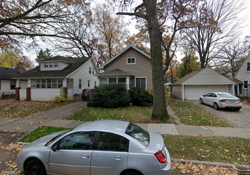
549 Pearson St Ferndale, MI 48220
Estimated Value: $261,927 - $346,000
4
Beds
2
Baths
1,096
Sq Ft
$280/Sq Ft
Est. Value
About This Home
This home is located at 549 Pearson St, Ferndale, MI 48220 and is currently estimated at $306,732, approximately $279 per square foot. 549 Pearson St is a home located in Oakland County with nearby schools including Ferndale Lower Elementary Campus, Ferndale Upper Elementary Campus, and Ferndale Middle School.
Ownership History
Date
Name
Owned For
Owner Type
Purchase Details
Closed on
Apr 2, 1998
Sold by
Coapman Michael A
Bought by
Coapman Michael A
Current Estimated Value
Home Financials for this Owner
Home Financials are based on the most recent Mortgage that was taken out on this home.
Original Mortgage
$75,000
Interest Rate
7.17%
Purchase Details
Closed on
Aug 30, 1996
Sold by
Hardenbergh Gail L
Bought by
Coapman Michael A
Home Financials for this Owner
Home Financials are based on the most recent Mortgage that was taken out on this home.
Original Mortgage
$73,600
Interest Rate
8.29%
Create a Home Valuation Report for This Property
The Home Valuation Report is an in-depth analysis detailing your home's value as well as a comparison with similar homes in the area
Home Values in the Area
Average Home Value in this Area
Purchase History
| Date | Buyer | Sale Price | Title Company |
|---|---|---|---|
| Coapman Michael A | -- | -- | |
| Coapman Michael A | $77,900 | -- |
Source: Public Records
Mortgage History
| Date | Status | Borrower | Loan Amount |
|---|---|---|---|
| Previous Owner | Coapman Michael A | $75,000 | |
| Previous Owner | Coapman Michael A | $73,600 |
Source: Public Records
Tax History
| Year | Tax Paid | Tax Assessment Tax Assessment Total Assessment is a certain percentage of the fair market value that is determined by local assessors to be the total taxable value of land and additions on the property. | Land | Improvement |
|---|---|---|---|---|
| 2025 | $4,016 | $113,150 | $0 | $0 |
| 2024 | $3,916 | $109,070 | $0 | $0 |
| 2023 | $3,486 | $100,680 | $0 | $0 |
| 2022 | $2,984 | $91,160 | $0 | $0 |
| 2021 | $2,444 | $80,950 | $0 | $0 |
| 2020 | $2,319 | $75,720 | $0 | $0 |
| 2019 | $2,451 | $66,560 | $0 | $0 |
| 2018 | $2,364 | $59,090 | $0 | $0 |
| 2017 | $2,334 | $57,510 | $0 | $0 |
| 2016 | $2,303 | $53,600 | $0 | $0 |
| 2015 | -- | $50,130 | $0 | $0 |
| 2014 | -- | $43,260 | $0 | $0 |
| 2011 | -- | $43,410 | $0 | $0 |
Source: Public Records
Map
Nearby Homes
- 612 W Marshall St
- 541 Albany St
- 356 Leroy St
- 504 Pearson St
- 808 Laprairie St
- 918 Saint Louis St
- 695 Livernois St
- 1060 W Hazelhurst St
- 3 W Nine Mile Rd
- 1015 W Marshall St
- 475 W Breckenridge St
- 832 Pinecrest Dr
- 515 Farmdale St
- 526 Saint Louis St
- 591 Parkside Way Unit 16
- 335 Laprairie St
- 408 College St
- 629 W Lewiston Ave
- 703 W Lewiston Ave
- 466 W Maplehurst St
- 555 Pearson St
- 541 Pearson (Lower) St
- 541 Pearson St Unit Bldg-Unit
- 541 Pearson St
- 541 Pearson Upper St
- 531 Pearson St
- 613 Pearson St
- 554 W Hazelhurst St
- 550 W Hazelhurst St
- 621 Pearson St
- 530 W Hazelhurst St
- 540 W Hazelhurst St
- 540 W Hazelhurst St
- 604 W Hazelhurst St
- 521 Pearson St
- 610 W Hazelhurst St
- 548 Pearson St
- 554 Pearson St
- 540 Pearson St
- 600 Pearson St
Your Personal Tour Guide
Ask me questions while you tour the home.