549 Ravencrest Ln Unit 69 Westland, MI 48185
Estimated Value: $237,000 - $261,000
--
Bed
3
Baths
1,229
Sq Ft
$202/Sq Ft
Est. Value
About This Home
This home is located at 549 Ravencrest Ln Unit 69, Westland, MI 48185 and is currently estimated at $248,485, approximately $202 per square foot. 549 Ravencrest Ln Unit 69 is a home located in Wayne County with nearby schools including Wildwood Elementary School, Marshall Upper Elementary School, and Adlai Stevenson Middle School.
Ownership History
Date
Name
Owned For
Owner Type
Purchase Details
Closed on
Mar 20, 2023
Sold by
Snell-Johnson Sheila F
Bought by
Snell-Johnson Sheila F and Snell Bernard Dennis
Current Estimated Value
Purchase Details
Closed on
Sep 25, 2007
Sold by
Redford Janet
Bought by
Snell Johnson Sheila F
Purchase Details
Closed on
Oct 18, 2006
Sold by
Mitchell Ardis Nancy and Mitchell Donald L
Bought by
Redford Janet
Create a Home Valuation Report for This Property
The Home Valuation Report is an in-depth analysis detailing your home's value as well as a comparison with similar homes in the area
Home Values in the Area
Average Home Value in this Area
Purchase History
| Date | Buyer | Sale Price | Title Company |
|---|---|---|---|
| Snell-Johnson Sheila F | -- | -- | |
| Snell Johnson Sheila F | $150,000 | Multiple | |
| Redford Janet | $157,500 | Multiple |
Source: Public Records
Tax History Compared to Growth
Tax History
| Year | Tax Paid | Tax Assessment Tax Assessment Total Assessment is a certain percentage of the fair market value that is determined by local assessors to be the total taxable value of land and additions on the property. | Land | Improvement |
|---|---|---|---|---|
| 2025 | $2,200 | $116,600 | $0 | $0 |
| 2024 | $2,200 | $104,200 | $0 | $0 |
| 2023 | $2,101 | $91,900 | $0 | $0 |
| 2022 | $2,379 | $85,300 | $0 | $0 |
| 2021 | $2,319 | $82,000 | $0 | $0 |
| 2020 | $2,295 | $77,600 | $0 | $0 |
| 2019 | $2,211 | $71,200 | $0 | $0 |
| 2018 | $1,729 | $67,800 | $0 | $0 |
| 2017 | $697 | $66,100 | $0 | $0 |
| 2016 | $2,147 | $63,400 | $0 | $0 |
| 2015 | $4,279 | $57,160 | $0 | $0 |
| 2013 | $4,145 | $43,480 | $0 | $0 |
| 2012 | $1,950 | $42,470 | $0 | $0 |
Source: Public Records
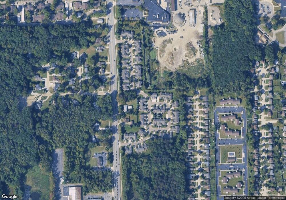
Map
Nearby Homes
- 977 N Newburgh Rd
- 37575 Barkridge Cir Unit 54
- 540 Dartmouth Crescent Ct
- 404 N Sybald St
- 38074 Hixford Place
- 38122 Hixford Place
- 38030 Greenwood St
- 38066 Sherwood St
- 336 Marigold Cir Unit 45
- 284 Marigold Cir Unit 17
- 788 N Linville St
- 1750 N Hix Rd
- 38201 Carolon Blvd Unit 17B
- 5692 N Globe St
- 624 N Parent St
- 38343 Carolon Blvd
- 38302 Warner Farms Dr Unit 24
- 127 S John Hix St
- 639 N Harvey St
- 38386 Maes St
- 513 Ravencrest Ln
- 537 Ravencrest Ln
- 525 Ravencrest Ln
- 525 Ravencrest Ln Unit 66
- 37188 Condor Ct
- 530 N Newburgh Rd
- 614 Ravencrest Ln
- 501 Ravencrest Ln Unit 64
- 465 Ravencrest Ln Unit 61
- 626 Ravencrest Ln
- 626 Ravencrest Ln Unit 27
- 37175 Condor Ct
- 489 Ravencrest Ln
- 37199 Condor Ct
- 37163 Condor Ct Unit 69
- 613 Ravencrest Ln
- 37140 Condor Ct
- 37187 Condor Ct
- 601 Ravencrest Ln
- 638 Ravencrest Ln Unit 24