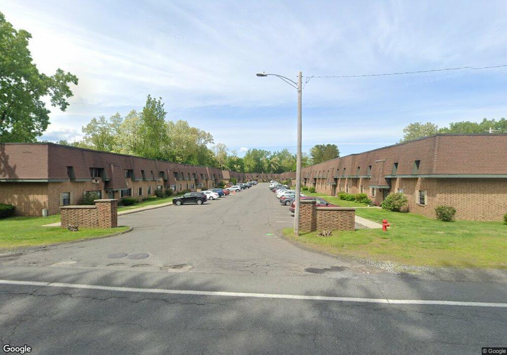
549 Russell Rd Unit 17C Westfield, MA 01085
Estimated Value: $160,000 - $165,562
2
Beds
1
Bath
762
Sq Ft
$213/Sq Ft
Est. Value
About This Home
This home is located at 549 Russell Rd Unit 17C, Westfield, MA 01085 and is currently estimated at $162,141, approximately $212 per square foot. 549 Russell Rd Unit 17C is a home located in Hampden County with nearby schools including Westfield High School and Saint Mary High School.
Ownership History
Date
Name
Owned For
Owner Type
Purchase Details
Closed on
Jul 26, 2023
Sold by
Leduc Brenda M
Bought by
Blue Kruse Ft and Leduc
Current Estimated Value
Purchase Details
Closed on
Dec 15, 2006
Sold by
Oddi Sarah E and Oddi Stephen M
Bought by
Leshure John P
Home Financials for this Owner
Home Financials are based on the most recent Mortgage that was taken out on this home.
Original Mortgage
$50,000
Interest Rate
6.31%
Mortgage Type
Purchase Money Mortgage
Purchase Details
Closed on
Nov 1, 2004
Sold by
Roy Aren S and Roy Phyliss E
Bought by
Oddi Sarah E and Oddi Stephen M
Home Financials for this Owner
Home Financials are based on the most recent Mortgage that was taken out on this home.
Original Mortgage
$48,750
Interest Rate
5.74%
Mortgage Type
Purchase Money Mortgage
Create a Home Valuation Report for This Property
The Home Valuation Report is an in-depth analysis detailing your home's value as well as a comparison with similar homes in the area
Home Values in the Area
Average Home Value in this Area
Purchase History
| Date | Buyer | Sale Price | Title Company |
|---|---|---|---|
| Blue Kruse Ft | -- | None Available | |
| Leshure John P | $83,000 | -- | |
| Oddi Sarah E | $65,000 | -- |
Source: Public Records
Mortgage History
| Date | Status | Borrower | Loan Amount |
|---|---|---|---|
| Previous Owner | Leshure John P | $50,000 | |
| Previous Owner | Oddi Sarah E | $48,750 |
Source: Public Records
Tax History Compared to Growth
Tax History
| Year | Tax Paid | Tax Assessment Tax Assessment Total Assessment is a certain percentage of the fair market value that is determined by local assessors to be the total taxable value of land and additions on the property. | Land | Improvement |
|---|---|---|---|---|
| 2025 | $2,002 | $131,900 | $0 | $131,900 |
| 2024 | $2,022 | $126,600 | $0 | $126,600 |
| 2023 | $1,644 | $96,800 | $0 | $96,800 |
| 2022 | $1,590 | $86,000 | $0 | $86,000 |
| 2021 | $1,595 | $84,500 | $0 | $84,500 |
| 2020 | $1,476 | $76,700 | $0 | $76,700 |
| 2019 | $1,363 | $69,300 | $0 | $69,300 |
| 2018 | $1,342 | $69,300 | $0 | $69,300 |
| 2017 | $1,490 | $76,700 | $0 | $76,700 |
| 2016 | $1,491 | $76,700 | $0 | $76,700 |
| 2015 | $1,381 | $74,500 | $0 | $74,500 |
| 2014 | $1,354 | $74,500 | $0 | $74,500 |
Source: Public Records
Map
Nearby Homes
- 324 Russell Rd Unit 204
- 324 Russell Rd Unit 101
- 781 Western Ave
- 291 Pochassic Rd
- 163 Prospect Street Extension
- 153 Prospect Street Extension
- 14 Pinewood Ln
- 745 West Rd
- 1020 Russell Rd
- 0 Fox Hill Dr
- 158 Franklin St
- 113 Franklin St
- 70 Yeoman Ave
- 7 Shepard St
- 3 Angelica Dr
- 15 Bates St
- 66 Stoney Ln
- 1430 Russell Rd Unit 19
- 1430 Russell Rd Unit 9
- 1430 Russell Rd Unit 35
- 549 Russell Rd Unit 17D
- 549 Russell Rd Unit 17B
- 549 Russell Rd Unit 17A
- 549 Russell Rd Unit 16D
- 549 Russell Rd Unit 16C
- 549 Russell Rd Unit 16B
- 549 Russell Rd Unit 16A
- 549 Russell Rd Unit 15D
- 549 Russell Rd Unit 15C
- 549 Russell Rd Unit 15B
- 549 Russell Rd Unit 15A
- 549 Russell Rd Unit 14C
- 549 Russell Rd Unit 14B
- 549 Russell Rd Unit 14A
- 549 Russell Rd Unit 13D
- 549 Russell Rd Unit 13B
- 549 Russell Rd Unit 13A
- 549 Russell Rd Unit 12C
- 549 Russell Rd Unit 12B
- 549 Russell Rd Unit 12A