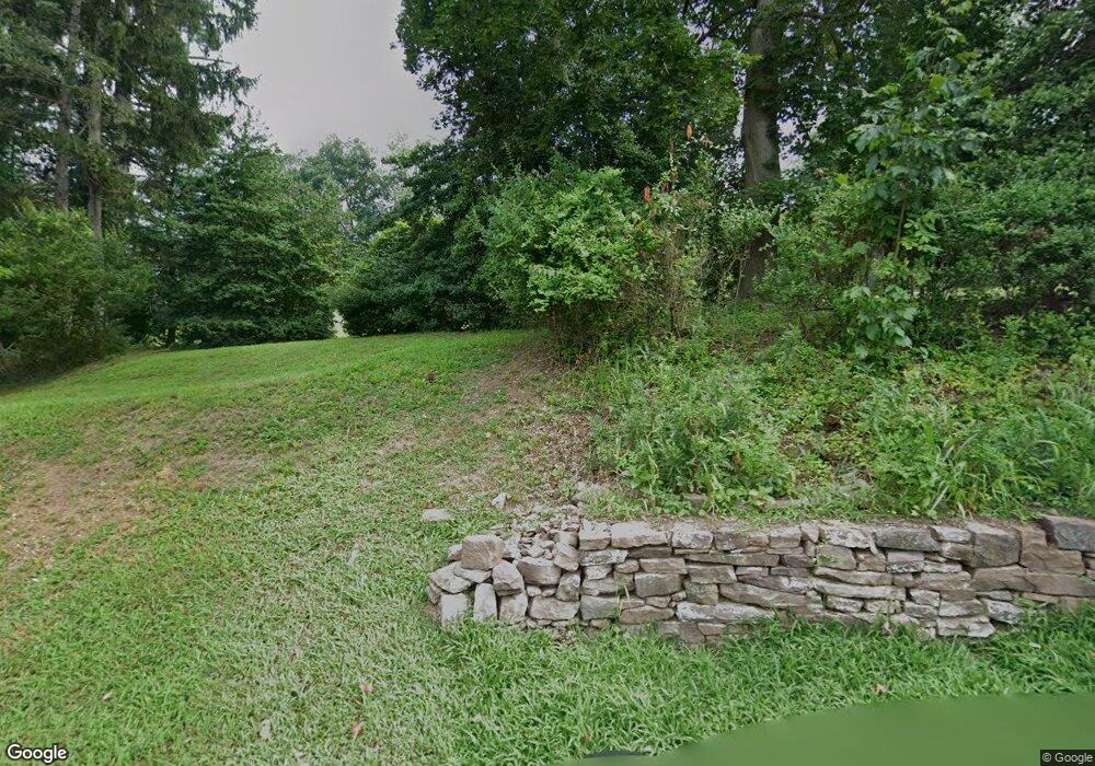
549 S Schuylkill Ave West Norriton, PA 19403
Estimated Value: $659,000
4
Beds
3
Baths
4,325
Sq Ft
$152/Sq Ft
Est. Value
About This Home
This home is located at 549 S Schuylkill Ave, West Norriton, PA 19403 and is currently estimated at $659,000, approximately $152 per square foot. 549 S Schuylkill Ave is a home with nearby schools including Charles Blockson Middle School, Paul V Fly Elementary School, and East Norriton Middle School.
Ownership History
Date
Name
Owned For
Owner Type
Purchase Details
Closed on
Oct 9, 2003
Sold by
Montgomery County Com
Bought by
Moran Carol-Lynn E and Rausch Timothy
Current Estimated Value
Purchase Details
Closed on
Apr 26, 2003
Sold by
Moran Carol Lynn E and Rausch Timothy N
Bought by
Moran Carol Lynn E
Purchase Details
Closed on
Aug 16, 2002
Sold by
Moran Carol Lynn E
Bought by
Rausch Timothy N and Moran Carol Lynn E
Purchase Details
Closed on
Dec 24, 2001
Sold by
Moran Miguela L
Bought by
Moran Carol Lynn E
Create a Home Valuation Report for This Property
The Home Valuation Report is an in-depth analysis detailing your home's value as well as a comparison with similar homes in the area
Home Values in the Area
Average Home Value in this Area
Purchase History
| Date | Buyer | Sale Price | Title Company |
|---|---|---|---|
| Moran Carol-Lynn E | -- | -- | |
| Moran Carol Lynn E | -- | -- | |
| Rausch Timothy N | -- | -- | |
| Moran Carol Lynn E | $105,000 | -- | |
| Moran Carol Lynn E | $105,000 | -- |
Source: Public Records
Tax History Compared to Growth
Tax History
| Year | Tax Paid | Tax Assessment Tax Assessment Total Assessment is a certain percentage of the fair market value that is determined by local assessors to be the total taxable value of land and additions on the property. | Land | Improvement |
|---|---|---|---|---|
| 2025 | $2,824 | $57,770 | -- | -- |
| 2024 | $2,824 | $57,770 | -- | -- |
| 2023 | $2,792 | $57,770 | $0 | $0 |
| 2022 | $2,773 | $249,000 | $195,730 | $53,270 |
| 2021 | $2,756 | $249,000 | $195,730 | $53,270 |
| 2020 | $2,673 | $249,000 | $195,730 | $53,270 |
| 2019 | $3,270 | $249,000 | $195,730 | $53,270 |
| 2018 | $2,133 | $249,000 | $195,730 | $53,270 |
| 2017 | $2,468 | $249,000 | $195,730 | $53,270 |
| 2016 | $2,446 | $249,000 | $195,730 | $53,270 |
| 2015 | $2,321 | $249,000 | $195,730 | $53,270 |
| 2014 | $2,265 | $249,000 | $195,730 | $53,270 |
Source: Public Records
Map
Nearby Homes
- 570 Canterbury Rd
- 2060 Yorktown S
- 2017 Yorktown S
- 1914 Yorktown S
- 143 Riversedge Dr Unit CONDO 143
- 121 Woodstream Dr Unit CONDO 121
- 167 Woodstream Dr Unit CONDO 167
- 348 Glenn Rose Cir
- 278 Stone Ridge Dr
- 0 Roosevelt Blvd
- 478 Glenn Rose Cir
- 253 Stone Ridge Dr Unit 253
- 2302 Grant Ct
- 2008 Hemlock Rd
- 443 Brandon Rd
- 300 Norris Hall Ln Unit 300
- 706 Kennedy Ct Unit 706
- 735 Champlain Dr
- 391 Rittenhouse Blvd
- 2044 Mill Rd
- 2038 Yorktown S
- 2036 Yorktown S
- 2034 Yorktown S
- 2040 Yorktown S
- 2030 Yorktown S
- 2030 Yorktown S
- 2032 Yorktown S
- 2032 Yorktown S
- 2042 Yorktown S
- 2028 Yorktown S
- 2028 Yorktown S
- 2044 Yorktown S
- 2026 Yorktown S
- 2026 Yorktown S
- 2024 Yorktown S
- 2024 Yorktown S
- 2022 Yorktown S
- 2022 Yorktown S
- 2020 Yorktown S
- 2020 Yorktown S
