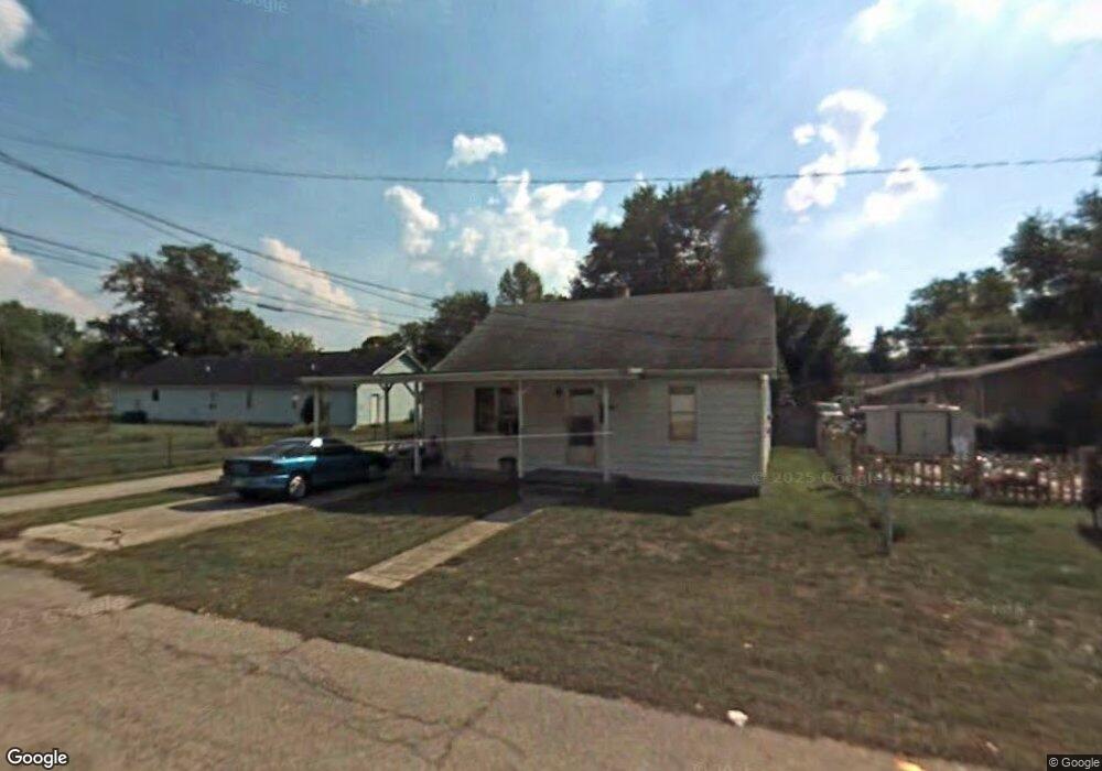
549 Samuel St Franklin, IN 46131
Estimated Value: $96,000 - $167,000
2
Beds
1
Bath
897
Sq Ft
$151/Sq Ft
Est. Value
About This Home
This home is located at 549 Samuel St, Franklin, IN 46131 and is currently estimated at $135,663, approximately $151 per square foot. 549 Samuel St is a home located in Johnson County with nearby schools including Northwood Elementary School, Franklin Community Middle School, and Custer Baker Intermediate School.
Ownership History
Date
Name
Owned For
Owner Type
Purchase Details
Closed on
May 15, 2011
Sold by
Flanagan John
Bought by
Farrow Tony S and Farrow Linda S
Current Estimated Value
Home Financials for this Owner
Home Financials are based on the most recent Mortgage that was taken out on this home.
Original Mortgage
$15,000
Interest Rate
6%
Mortgage Type
Adjustable Rate Mortgage/ARM
Create a Home Valuation Report for This Property
The Home Valuation Report is an in-depth analysis detailing your home's value as well as a comparison with similar homes in the area
Home Values in the Area
Average Home Value in this Area
Purchase History
| Date | Buyer | Sale Price | Title Company |
|---|---|---|---|
| Farrow Tony S | -- | Ctic |
Source: Public Records
Mortgage History
| Date | Status | Borrower | Loan Amount |
|---|---|---|---|
| Previous Owner | Farrow Tony S | $15,000 |
Source: Public Records
Tax History
| Year | Tax Paid | Tax Assessment Tax Assessment Total Assessment is a certain percentage of the fair market value that is determined by local assessors to be the total taxable value of land and additions on the property. | Land | Improvement |
|---|---|---|---|---|
| 2025 | $1,703 | $91,500 | $7,300 | $84,200 |
| 2024 | $1,703 | $77,000 | $7,300 | $69,700 |
| 2023 | $1,513 | $68,000 | $7,300 | $60,700 |
| 2022 | $1,298 | $58,200 | $7,300 | $50,900 |
| 2021 | $1,106 | $49,600 | $6,000 | $43,600 |
| 2020 | $1,055 | $47,300 | $6,000 | $41,300 |
| 2019 | $979 | $43,900 | $6,000 | $37,900 |
| 2018 | $874 | $44,100 | $6,200 | $37,900 |
| 2017 | $856 | $42,300 | $6,200 | $36,100 |
| 2016 | $796 | $42,300 | $6,200 | $36,100 |
| 2014 | $728 | $39,300 | $7,400 | $31,900 |
| 2013 | $728 | $36,400 | $7,500 | $28,900 |
Source: Public Records
Map
Nearby Homes
- 750 Hurricane St
- 698 Yandes St
- 598 Kentucky St
- 601 Duane St
- 690 E Jefferson St
- 1149 Heritage Trail
- 1110 Hillview Dr
- 159 E King St
- 0 W 900 Hwy Unit 202537998
- 227 E Jefferson St
- 1102 E Jefferson St
- 198 W King St
- 1240 Hillview Dr
- 41 Middleton Dr
- 178 S Water St Unit F
- 76 E Wayne St Unit B
- 312 Carriage Ln
- 17 Morning Dr
- 21 S Dawn Dr
- 21 14th St
- 699 Hurricane St
- 651 Hurricane St
- 701 Hurricane St
- 678 Young St
- 649 Hurricane St
- 698 Young St
- 700 Young St
- 648 Young St
- 658 Young St
- 698 Hurricane St
- 603 Hurricane St
- 748 Young St
- 749 Hurricane St
- 650 Hurricane St
- 608 Young St
- 751 Hurricane St
- 700 Hurricane St
- 648 Hurricane St
- 750 Young St
- 697 Young St
Your Personal Tour Guide
Ask me questions while you tour the home.