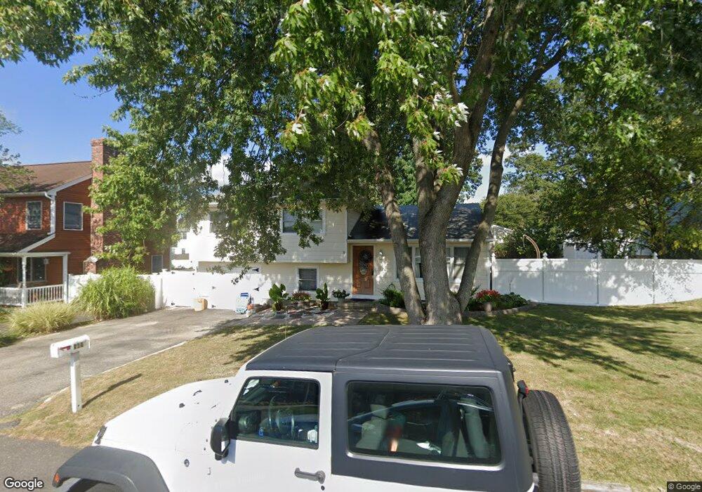
549 Smith Dr Point Pleasant Boro, NJ 08742
Estimated Value: $609,000 - $716,000
3
Beds
3
Baths
2,064
Sq Ft
$318/Sq Ft
Est. Value
About This Home
This home is located at 549 Smith Dr, Point Pleasant Boro, NJ 08742 and is currently estimated at $657,069, approximately $318 per square foot. 549 Smith Dr is a home located in Ocean County with nearby schools including Chillicothe Primary School, Point Pleasant High School, and St Dominic School.
Ownership History
Date
Name
Owned For
Owner Type
Purchase Details
Closed on
Mar 4, 2004
Sold by
Leonhardt Francis G
Bought by
Dowling Liam and Dowling Kathy Ann
Current Estimated Value
Home Financials for this Owner
Home Financials are based on the most recent Mortgage that was taken out on this home.
Original Mortgage
$276,790
Outstanding Balance
$129,359
Interest Rate
5.67%
Mortgage Type
FHA
Estimated Equity
$527,710
Create a Home Valuation Report for This Property
The Home Valuation Report is an in-depth analysis detailing your home's value as well as a comparison with similar homes in the area
Home Values in the Area
Average Home Value in this Area
Purchase History
| Date | Buyer | Sale Price | Title Company |
|---|---|---|---|
| Dowling Liam | $279,000 | -- | |
| Dowling Liam | $279,000 | -- |
Source: Public Records
Mortgage History
| Date | Status | Borrower | Loan Amount |
|---|---|---|---|
| Open | Dowling Liam | $276,790 | |
| Closed | Dowling Liam | $276,790 |
Source: Public Records
Tax History Compared to Growth
Tax History
| Year | Tax Paid | Tax Assessment Tax Assessment Total Assessment is a certain percentage of the fair market value that is determined by local assessors to be the total taxable value of land and additions on the property. | Land | Improvement |
|---|---|---|---|---|
| 2025 | $7,097 | $310,300 | $187,500 | $122,800 |
| 2024 | $6,783 | $310,300 | $187,500 | $122,800 |
| 2023 | $6,644 | $310,300 | $187,500 | $122,800 |
| 2022 | $6,644 | $310,300 | $187,500 | $122,800 |
| 2021 | $6,541 | $310,300 | $187,500 | $122,800 |
| 2020 | $6,473 | $310,300 | $187,500 | $122,800 |
| 2019 | $6,386 | $310,300 | $187,500 | $122,800 |
| 2018 | $6,197 | $310,300 | $187,500 | $122,800 |
| 2017 | $6,060 | $310,300 | $187,500 | $122,800 |
| 2016 | $6,014 | $310,300 | $187,500 | $122,800 |
| 2015 | $5,942 | $310,300 | $187,500 | $122,800 |
| 2014 | $5,806 | $310,300 | $187,500 | $122,800 |
Source: Public Records
Map
Nearby Homes
- 3431 Bridge Ave Unit 2
- 550 Crestview Terrace
- 3403 Bridge Ave Unit 13
- 506 Crestview Terrace
- 512 Oak Terrace
- 3105 Cambridge Dr
- 601 Marshall Dr
- 223 Pinetree Place
- 221 Ida Dr
- 3006 Herbertsville Rd
- 208 Giese Ln
- 2821 Herbertsville Rd
- 531 Azalea Dr
- 611 Boulton Ave
- 55 Crest Dr
- 3000 River Rd Unit 3000 & 3000A
- 669 Spiral Dr
- 519 Curtis Ave
- 17 Cedar Village Blvd
- 2704 Route 88