5490 3rd St Tillamook, OR 97141
Estimated Value: $385,000 - $496,000
1
Bed
1
Bath
576
Sq Ft
$786/Sq Ft
Est. Value
About This Home
This home is located at 5490 3rd St, Tillamook, OR 97141 and is currently estimated at $452,480, approximately $785 per square foot. 5490 3rd St is a home located in Tillamook County with nearby schools including Tillamook High School.
Ownership History
Date
Name
Owned For
Owner Type
Purchase Details
Closed on
Feb 28, 2022
Sold by
Wayne Howell Ronald
Bought by
Sanders Jacob R
Current Estimated Value
Home Financials for this Owner
Home Financials are based on the most recent Mortgage that was taken out on this home.
Original Mortgage
$309,000
Outstanding Balance
$287,476
Interest Rate
3.55%
Mortgage Type
New Conventional
Estimated Equity
$165,004
Create a Home Valuation Report for This Property
The Home Valuation Report is an in-depth analysis detailing your home's value as well as a comparison with similar homes in the area
Home Values in the Area
Average Home Value in this Area
Purchase History
| Date | Buyer | Sale Price | Title Company |
|---|---|---|---|
| Sanders Jacob R | $515,000 | First American Title |
Source: Public Records
Mortgage History
| Date | Status | Borrower | Loan Amount |
|---|---|---|---|
| Open | Sanders Jacob R | $309,000 |
Source: Public Records
Tax History Compared to Growth
Tax History
| Year | Tax Paid | Tax Assessment Tax Assessment Total Assessment is a certain percentage of the fair market value that is determined by local assessors to be the total taxable value of land and additions on the property. | Land | Improvement |
|---|---|---|---|---|
| 2024 | $1,271 | $127,020 | $60,240 | $66,780 |
| 2023 | $1,264 | $123,330 | $58,500 | $64,830 |
| 2022 | $1,220 | $119,740 | $56,800 | $62,940 |
| 2021 | $1,184 | $116,260 | $55,150 | $61,110 |
| 2020 | $1,152 | $112,880 | $53,550 | $59,330 |
| 2019 | $1,123 | $109,600 | $52,000 | $57,600 |
| 2018 | $1,095 | $106,410 | $50,490 | $55,920 |
| 2017 | $1,068 | $103,320 | $49,030 | $54,290 |
| 2016 | $1,027 | $100,320 | $47,600 | $52,720 |
| 2015 | $1,008 | $97,400 | $46,210 | $51,190 |
| 2014 | $993 | $94,570 | $44,860 | $49,710 |
| 2013 | -- | $91,820 | $43,550 | $48,270 |
Source: Public Records
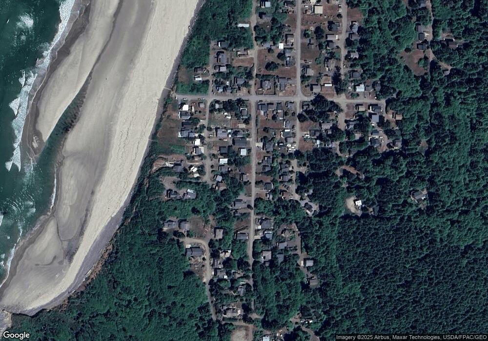
Map
Nearby Homes
- 1500 Netarts Hwy W
- 0 Norwester Rd Unit 800 647374654
- Tax Lot 11801 Chinook Ave
- 12500 Lot 5 of Block 15 Chinook Ave
- 0 Chinook Ave Unit 5 166135339
- 0 Chinook Ave Unit TL11801 24464111
- 1685 Chinook Ave
- 1816 Maxwell Mountain Rd
- 0 Ocean St Unit 688526158
- 0 Ocean St Unit 536235930
- 0 Castle Dr Unit TL16500 748763023
- 17 Castle Dr
- TL 16500 Castle Dr
- 0 Tl 3900 S Castle Ln
- TL#3900 S Castle Ln
- 0 Pinewood Ln Unit 561093735
- 0 Hillsdale St W Unit 388388008
- 0 Hillsdale St W Unit 411915636
- 900 Bearberry Ln
- 6 Pinewood W
- 5360 3rd St NW
- 5360 3rd St NW
- 5360 3rd St NW
- 5480 3rd St NW
- 5475 2nd St NW
- 5455 2nd St NW
- 5495 2nd St NW
- 5495 3rd St
- 5495 3rd St NW
- 5430 3rd St NW
- 5515 3rd St NW Unit Cape Meares
- 5435 2nd St NW
- 5530 3rd St NW
- 5515 2nd St NW
- 5475 3rd St NW
- 5430 3rd St NW
- 5425 3rd St
- 5540 3rd St
- 5540 3rd St NW
- 5519 3rd St NW