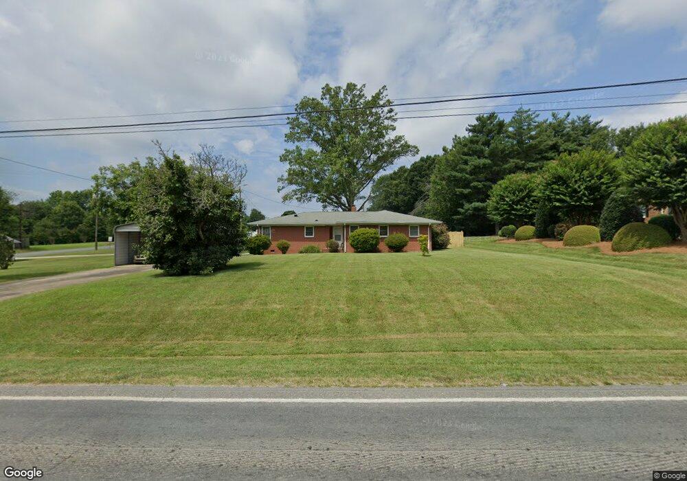
5490 Faith Rd Salisbury, NC 28146
Estimated Value: $176,000 - $271,000
--
Bed
2
Baths
1,490
Sq Ft
$151/Sq Ft
Est. Value
About This Home
This home is located at 5490 Faith Rd, Salisbury, NC 28146 and is currently estimated at $225,616, approximately $151 per square foot. 5490 Faith Rd is a home located in Rowan County with nearby schools including Elizabeth Duncan Koontz Elementary School, Southeast Middle School, and Jesse C Carson High School.
Ownership History
Date
Name
Owned For
Owner Type
Purchase Details
Closed on
Oct 8, 2021
Sold by
Baker Ralph L and Baker Julia G
Bought by
Brown Eddie P
Current Estimated Value
Home Financials for this Owner
Home Financials are based on the most recent Mortgage that was taken out on this home.
Original Mortgage
$93,000
Outstanding Balance
$84,807
Interest Rate
2.8%
Mortgage Type
Seller Take Back
Estimated Equity
$140,809
Purchase Details
Closed on
Mar 18, 2013
Sold by
First Troy Spe Llc
Bought by
Baker Ralph L and Baker Julia G
Home Financials for this Owner
Home Financials are based on the most recent Mortgage that was taken out on this home.
Original Mortgage
$52,160
Interest Rate
3.57%
Mortgage Type
Future Advance Clause Open End Mortgage
Purchase Details
Closed on
Jan 7, 2013
Sold by
Trexler Wynn R
Bought by
First Troy Spe Llc
Create a Home Valuation Report for This Property
The Home Valuation Report is an in-depth analysis detailing your home's value as well as a comparison with similar homes in the area
Home Values in the Area
Average Home Value in this Area
Purchase History
| Date | Buyer | Sale Price | Title Company |
|---|---|---|---|
| Brown Eddie P | $93,000 | None Available | |
| Baker Ralph L | $65,500 | None Available | |
| First Troy Spe Llc | $63,750 | None Available |
Source: Public Records
Mortgage History
| Date | Status | Borrower | Loan Amount |
|---|---|---|---|
| Open | Brown Eddie P | $93,000 | |
| Previous Owner | Baker Ralph L | $52,160 |
Source: Public Records
Tax History Compared to Growth
Tax History
| Year | Tax Paid | Tax Assessment Tax Assessment Total Assessment is a certain percentage of the fair market value that is determined by local assessors to be the total taxable value of land and additions on the property. | Land | Improvement |
|---|---|---|---|---|
| 2025 | $1,177 | $175,744 | $31,815 | $143,929 |
| 2024 | $1,177 | $175,744 | $31,815 | $143,929 |
| 2023 | $1,177 | $175,744 | $31,815 | $143,929 |
| 2022 | $892 | $119,379 | $26,260 | $93,119 |
| 2021 | $892 | $119,379 | $26,260 | $93,119 |
| 2020 | $892 | $119,379 | $26,260 | $93,119 |
| 2019 | $892 | $119,379 | $26,260 | $93,119 |
| 2018 | $755 | $101,806 | $26,260 | $75,546 |
| 2017 | $664 | $89,544 | $26,260 | $63,284 |
| 2016 | $664 | $89,544 | $26,260 | $63,284 |
| 2015 | $674 | $89,544 | $26,260 | $63,284 |
| 2014 | $668 | $92,781 | $26,260 | $66,521 |
Source: Public Records
Map
Nearby Homes
- 210 Rattlesnake St
- 5037 Faith Rd
- 1160 Long Creek Ln
- 345 Rainey Rd
- 3013 Cemetary Dr
- 3008 Gantt St
- 4980 Mount Hope Church Rd
- 9060 Castor Rd
- 130 Delinda Dr
- 655 Lippard Rd
- 1008 Courtney Ln Unit 28
- 0 Bee Tree Rd
- 0 Maple St
- 7660 Pop Basinger Rd
- 175 Birchwood Dr Unit 7
- 165 Birchwood Dr Unit 17
- 5604 N Carolina 152
- Lot 6-7 Ridgeline Dr
- 230 Ridgeline Dr Unit 15
- 110 Devonshire Ln