5490 Highway 51 Mountain Home, ID 83647
Estimated Value: $811,000 - $870,000
5
Beds
2
Baths
2,922
Sq Ft
$289/Sq Ft
Est. Value
About This Home
This home is located at 5490 Highway 51, Mountain Home, ID 83647 and is currently estimated at $843,196, approximately $288 per square foot. 5490 Highway 51 is a home located in Elmore County with nearby schools including West Elementary School, Hacker Middle School, and Mountain Home Junior High School.
Ownership History
Date
Name
Owned For
Owner Type
Purchase Details
Closed on
Jan 28, 2008
Sold by
Cornell Aaron C and Cornell Eriberta E
Bought by
Burnett Jeremiah A and Burnett Suzanne R
Current Estimated Value
Home Financials for this Owner
Home Financials are based on the most recent Mortgage that was taken out on this home.
Original Mortgage
$139,600
Interest Rate
6.17%
Mortgage Type
New Conventional
Create a Home Valuation Report for This Property
The Home Valuation Report is an in-depth analysis detailing your home's value as well as a comparison with similar homes in the area
Home Values in the Area
Average Home Value in this Area
Purchase History
| Date | Buyer | Sale Price | Title Company |
|---|---|---|---|
| Burnett Jeremiah A | -- | -- |
Source: Public Records
Mortgage History
| Date | Status | Borrower | Loan Amount |
|---|---|---|---|
| Closed | Burnett Jeremiah A | $139,600 |
Source: Public Records
Tax History Compared to Growth
Tax History
| Year | Tax Paid | Tax Assessment Tax Assessment Total Assessment is a certain percentage of the fair market value that is determined by local assessors to be the total taxable value of land and additions on the property. | Land | Improvement |
|---|---|---|---|---|
| 2024 | $2,069 | $658,035 | $102,467 | $555,568 |
| 2023 | $2,069 | $650,778 | $82,909 | $567,869 |
| 2022 | $3,529 | $777,195 | $78,709 | $698,486 |
| 2021 | $2,957 | $547,638 | $60,476 | $487,162 |
| 2020 | $2,435 | $401,172 | $50,513 | $350,659 |
| 2019 | $2,512 | $352,157 | $50,513 | $301,644 |
| 2018 | $1,911 | $273,222 | $46,263 | $226,959 |
| 2017 | $1,544 | $231,773 | $46,263 | $185,510 |
| 2016 | $1,611 | $230,383 | $44,873 | $185,510 |
| 2015 | $1,578 | $0 | $0 | $0 |
| 2012 | -- | $137,345 | $66,842 | $70,503 |
Source: Public Records
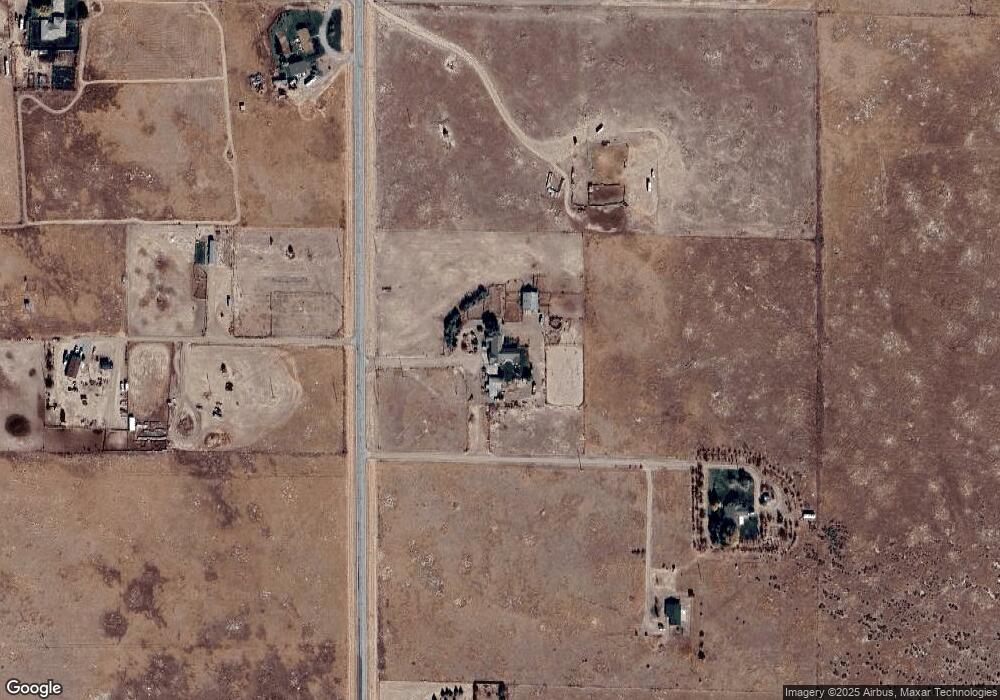
Map
Nearby Homes
- 6600 SW Jarvis Dr
- 4455 SW Cosmo Way
- TBD SW Buckeye
- TBA Tba
- TBD SW Mendenhall St Unit Lot 11
- TBD SW Mendenhall St Unit Lot 17
- TBD SW Mendenhall St Unit Lot 12
- TBD 55 Acres
- 730 SW Huebert St
- TBD SW Hwy 51 Smith Rd
- 760 SW Josephine St
- TBD 10th Street Neighborhood
- 1920 SW Challis Dr
- 1740 SW Besra Dr
- 1726 SW Besra Dr
- 1698 SW Besra Dr
- 1670 SW Besra Dr
- 1656 SW Besra Dr
- 1642 SW Besra Dr
- 1820 SW Sparrow Place
- HWY 51 Mercury
- 2045 SW Grinde Dr
- 2091 SW Grinde Dr
- 5231 Highway 51
- TBD SW 18th Hwy 51
- 2460 SW Quicksilver Dr
- TBD Fallaine Rd
- 5816 Highway 51
- 5816 Highway 51
- 5169 Highway 51
- 2040 SW Quicksilver Dr
- 5040 Highway 51
- 5040 Highway 51
- 5090 Highway 51
- 4380 S 18th W
- 2633 SW Fallaine Dr
- 4988 Highway 51
- Bruneau Hwy (Hwy 51)
- 2151 SW Lone Wolf Dr
- 4936 Highway 51