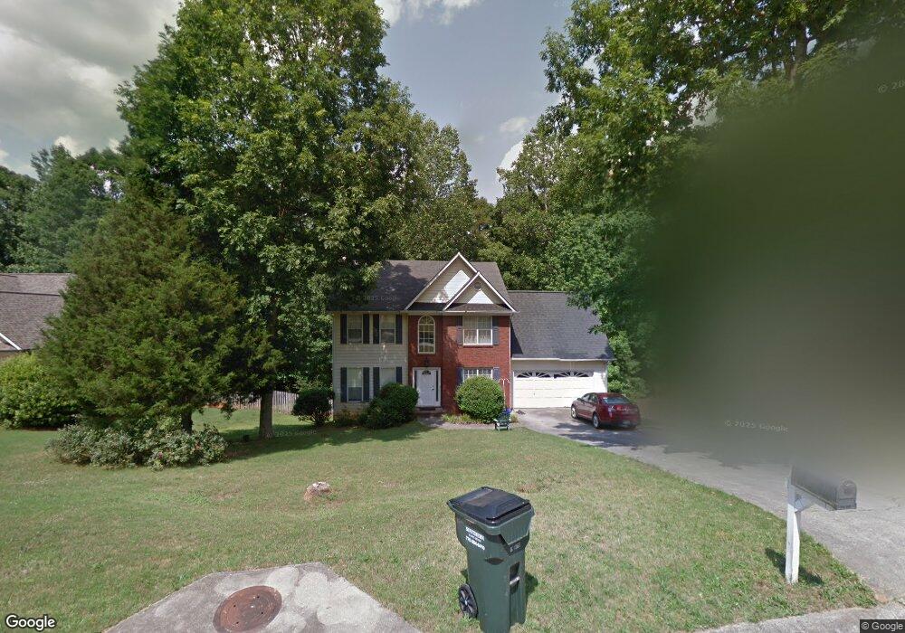
5493 Forest Ridge Dr Loganville, GA 30052
Estimated Value: $355,290 - $392,000
--
Bed
1
Bath
2,106
Sq Ft
$180/Sq Ft
Est. Value
About This Home
This home is located at 5493 Forest Ridge Dr, Loganville, GA 30052 and is currently estimated at $379,073, approximately $179 per square foot. 5493 Forest Ridge Dr is a home located in Walton County with nearby schools including Loganville Elementary School, Loganville Middle School, and Loganville High School.
Ownership History
Date
Name
Owned For
Owner Type
Purchase Details
Closed on
Sep 21, 1998
Sold by
Awtrey Glenda W
Bought by
Awtrey James Stanley
Current Estimated Value
Home Financials for this Owner
Home Financials are based on the most recent Mortgage that was taken out on this home.
Original Mortgage
$118,700
Outstanding Balance
$24,807
Interest Rate
6.65%
Mortgage Type
New Conventional
Estimated Equity
$354,266
Purchase Details
Closed on
Mar 21, 1997
Sold by
Cowrock Builders Inc
Bought by
Awtrey James S
Home Financials for this Owner
Home Financials are based on the most recent Mortgage that was taken out on this home.
Original Mortgage
$119,250
Interest Rate
7.98%
Mortgage Type
New Conventional
Create a Home Valuation Report for This Property
The Home Valuation Report is an in-depth analysis detailing your home's value as well as a comparison with similar homes in the area
Home Values in the Area
Average Home Value in this Area
Purchase History
| Date | Buyer | Sale Price | Title Company |
|---|---|---|---|
| Awtrey James Stanley | -- | -- | |
| Awtrey James S | $132,500 | -- |
Source: Public Records
Mortgage History
| Date | Status | Borrower | Loan Amount |
|---|---|---|---|
| Open | Awtrey James Stanley | $118,700 | |
| Closed | Awtrey James Stanley | $118,700 | |
| Previous Owner | Awtrey James S | $119,250 |
Source: Public Records
Tax History Compared to Growth
Tax History
| Year | Tax Paid | Tax Assessment Tax Assessment Total Assessment is a certain percentage of the fair market value that is determined by local assessors to be the total taxable value of land and additions on the property. | Land | Improvement |
|---|---|---|---|---|
| 2024 | $583 | $126,240 | $22,000 | $104,240 |
| 2023 | $572 | $122,840 | $22,000 | $100,840 |
| 2022 | $551 | $108,440 | $19,200 | $89,240 |
| 2021 | $2,433 | $92,120 | $17,200 | $74,920 |
| 2020 | $2,284 | $82,240 | $13,200 | $69,040 |
| 2019 | $2,191 | $76,960 | $13,200 | $63,760 |
| 2018 | $2,156 | $76,960 | $13,200 | $63,760 |
| 2017 | $2,427 | $70,440 | $12,800 | $57,640 |
| 2016 | $1,856 | $61,000 | $10,400 | $50,600 |
| 2015 | $1,640 | $50,000 | $9,600 | $40,400 |
| 2014 | $1,582 | $45,800 | $0 | $0 |
Source: Public Records
Map
Nearby Homes
- 5483 Forest Dr
- 5503 Forest Dr
- 5494 Forest Dr Unit 3
- 5473 Forest Dr
- 5513 Forest Dr
- 5484 Forest Dr Unit 4
- 5504 Forest Dr
- 2896 Valley Ct
- 5453 Forest Ridge Dr
- 0 Forest Dr Unit 8686045
- 0 Forest Dr Unit 8066859
- 0 Forest Dr Unit 8668094
- 0 Forest Dr Unit 8629061
- 0 Forest Dr Unit 8874517
- 0 Forest Dr Unit 8899739
- 0 Forest Dr Unit 7577903
- 0 Forest Dr Unit 7587236
- 0 Forest Dr Unit 8158076
- 0 Forest Dr Unit 8157949
- 0 Forest Dr Unit 8212434