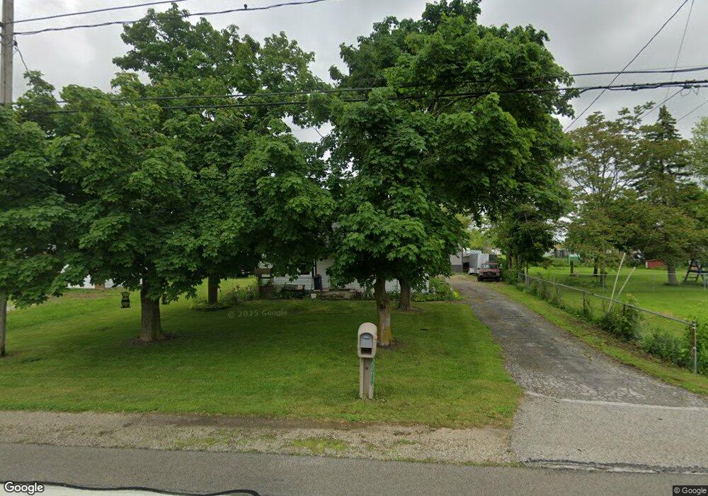
5493 West Harbor Rd Port Clinton, OH 43452
Estimated Value: $140,406 - $150,000
2
Beds
1
Bath
845
Sq Ft
$171/Sq Ft
Est. Value
About This Home
This home is located at 5493 West Harbor Rd, Port Clinton, OH 43452 and is currently estimated at $144,352, approximately $170 per square foot. 5493 West Harbor Rd is a home located in Ottawa County with nearby schools including Bataan Memorial Primary School, Bataan Memorial Intermediate School, and Port Clinton Middle School.
Ownership History
Date
Name
Owned For
Owner Type
Purchase Details
Closed on
Aug 27, 2014
Sold by
Ish Arlene E and Ish Arlene
Bought by
Pratt Timothy and Pratt Kathleen
Current Estimated Value
Purchase Details
Closed on
Feb 12, 2012
Sold by
Ish Arlene
Bought by
Pratt Jason
Home Financials for this Owner
Home Financials are based on the most recent Mortgage that was taken out on this home.
Original Mortgage
$30,600
Interest Rate
3%
Mortgage Type
Seller Take Back
Create a Home Valuation Report for This Property
The Home Valuation Report is an in-depth analysis detailing your home's value as well as a comparison with similar homes in the area
Home Values in the Area
Average Home Value in this Area
Purchase History
| Date | Buyer | Sale Price | Title Company |
|---|---|---|---|
| Pratt Timothy | $26,000 | Attorney | |
| Pratt Jason | $30,600 | Attorney |
Source: Public Records
Mortgage History
| Date | Status | Borrower | Loan Amount |
|---|---|---|---|
| Previous Owner | Pratt Jason | $30,600 |
Source: Public Records
Tax History Compared to Growth
Tax History
| Year | Tax Paid | Tax Assessment Tax Assessment Total Assessment is a certain percentage of the fair market value that is determined by local assessors to be the total taxable value of land and additions on the property. | Land | Improvement |
|---|---|---|---|---|
| 2024 | $921 | $37,647 | $5,142 | $32,505 |
| 2023 | $921 | $29,271 | $3,672 | $25,599 |
| 2022 | $1,391 | $37,377 | $2,394 | $34,983 |
| 2021 | $689 | $18,530 | $2,390 | $16,140 |
| 2020 | $633 | $16,340 | $2,070 | $14,270 |
| 2019 | $627 | $16,340 | $2,070 | $14,270 |
| 2018 | $626 | $16,340 | $2,070 | $14,270 |
| 2017 | $565 | $14,510 | $2,010 | $12,500 |
| 2016 | $566 | $14,510 | $2,010 | $12,500 |
| 2015 | $539 | $14,510 | $2,010 | $12,500 |
| 2014 | $269 | $13,880 | $2,010 | $11,870 |
| 2013 | $539 | $13,880 | $2,010 | $11,870 |
Source: Public Records
Map
Nearby Homes
- 265 S Meachem Rd
- 265 S Meachem Rd Unit 62
- 265 S Meachem Rd Unit 24
- 265 S Meachem Rd Unit 41
- 265 S Meachem Rd Unit 39
- 295 Meachem Rd
- 3800 W Lakeshore Dr
- 5225 W Lakeshore Dr
- 141 N Wexford Dr E
- 2915 W Rising Sun Rd
- 2915 W Risingsun Rd
- 2860 W Rising Sun Rd
- 2738 W Columbus St
- 2400 Sandy Ln
- 1805 W Lakeshore Dr Unit 3
- 1805 W Lakeshore Dr
- 7723 W Little Portage Rd E
- 51 N Schooner Point Dr
- 89 N Schooner Point Dr Unit 89
- 87 N Schooner Point Dr
- 5505 W Harbor Rd
- 5431 W Harbor Rd
- 20 S Meachem Rd
- 5431 West Harbor Rd
- 17 S Meachem Rd
- 26 N Tettau Rd
- 17 Meachem Grove Rd
- 5406 West Harbor Rd
- 36 N Tettau Rd
- 38 S Meachem Rd
- 5456 West Harbor Rd
- 19 S Meachem Rd
- 19 S Meachem Rd
- 48 S Meachem Rd
- 51 S Meachem Rd
- 40 N Ontario St
- 69 N Ontario St
- 38 N Ontario St
- 5394 West Harbor Rd
- 5500 Erie St