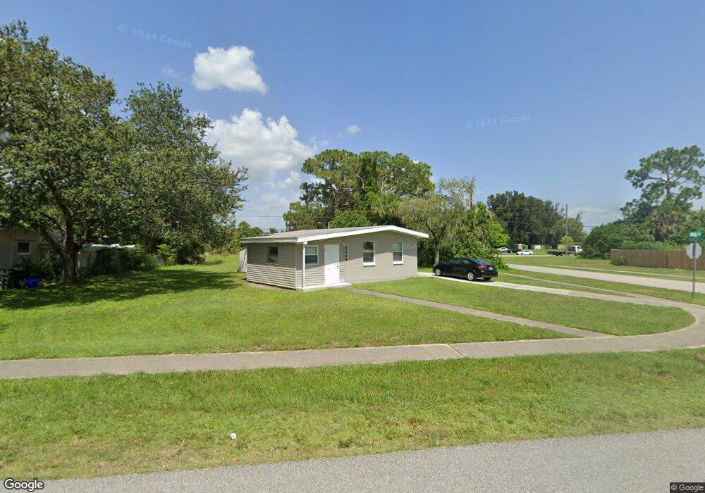
5494 Allen Rd North Port, FL 34287
Estimated Value: $155,000 - $190,000
2
Beds
1
Bath
758
Sq Ft
$220/Sq Ft
Est. Value
About This Home
This home is located at 5494 Allen Rd, North Port, FL 34287 and is currently estimated at $166,798, approximately $220 per square foot. 5494 Allen Rd is a home located in Sarasota County with nearby schools including Glenallen Elementary School, North Port High School, and Heron Creek Middle School.
Ownership History
Date
Name
Owned For
Owner Type
Purchase Details
Closed on
Jul 17, 2018
Sold by
Dremann Andrew K and Dremann Wedy D
Bought by
John Williams Chelsea A
Current Estimated Value
Purchase Details
Closed on
Sep 5, 2002
Sold by
Ust Union Natl Bk De
Bought by
Dremann Andrew K and Dremann Wendy D
Home Financials for this Owner
Home Financials are based on the most recent Mortgage that was taken out on this home.
Original Mortgage
$33,750
Interest Rate
6.4%
Purchase Details
Closed on
May 22, 2002
Sold by
Clerk Circuit Court Sarasota Cty Fl
Bought by
1St Union Natl Bk De and 1St Union Home Equity Bk N A
Create a Home Valuation Report for This Property
The Home Valuation Report is an in-depth analysis detailing your home's value as well as a comparison with similar homes in the area
Home Values in the Area
Average Home Value in this Area
Purchase History
| Date | Buyer | Sale Price | Title Company |
|---|---|---|---|
| John Williams Chelsea A | -- | Attorney | |
| Dremann Andrew K | $37,800 | -- | |
| 1St Union Natl Bk De | -- | -- |
Source: Public Records
Mortgage History
| Date | Status | Borrower | Loan Amount |
|---|---|---|---|
| Previous Owner | Dremann Andrew K | $33,750 |
Source: Public Records
Tax History Compared to Growth
Tax History
| Year | Tax Paid | Tax Assessment Tax Assessment Total Assessment is a certain percentage of the fair market value that is determined by local assessors to be the total taxable value of land and additions on the property. | Land | Improvement |
|---|---|---|---|---|
| 2024 | $2,176 | $90,375 | -- | -- |
| 2023 | $2,176 | $119,800 | $37,500 | $82,300 |
| 2022 | $1,904 | $103,700 | $34,900 | $68,800 |
| 2021 | $1,660 | $67,900 | $16,800 | $51,100 |
| 2020 | $1,573 | $62,300 | $14,900 | $47,400 |
| 2019 | $1,530 | $59,700 | $12,400 | $47,300 |
| 2018 | $1,121 | $50,400 | $12,900 | $37,500 |
| 2017 | $1,003 | $27,862 | $0 | $0 |
| 2016 | $947 | $30,800 | $4,100 | $26,700 |
| 2015 | $897 | $24,700 | $3,800 | $20,900 |
| 2014 | $849 | $19,030 | $0 | $0 |
Source: Public Records
Map
Nearby Homes
- 8430 Pickwick Rd
- 8391 Pickwick Rd
- 8361 Shumock Ave
- 8500 Agress Ave
- 0 S Biscayne Dr Unit MFRC7515132
- 0 S Biscayne Dr Unit R11111282
- 0 S Biscayne Dr Unit MFRA4657382
- 0 S Biscayne Dr Unit MFRA4649116
- 8629 Aero Ave
- 4520 S Biscayne Dr
- 8701 Pickwick Rd
- 8725 Aero Ave
- 5289 La Copa St
- 8142 Coco Solo Ave
- 0 Londel Ave Unit MFRN6140055
- 0 Vespucius St Unit MFRC7512656
- 0 de Miranda Ave Unit MFRN6138795
- 0 Monza Ave Unit MFRC7506746
- 0 Hollister Ave Unit 225015583
- 0 Hollister Ave Unit 225015584