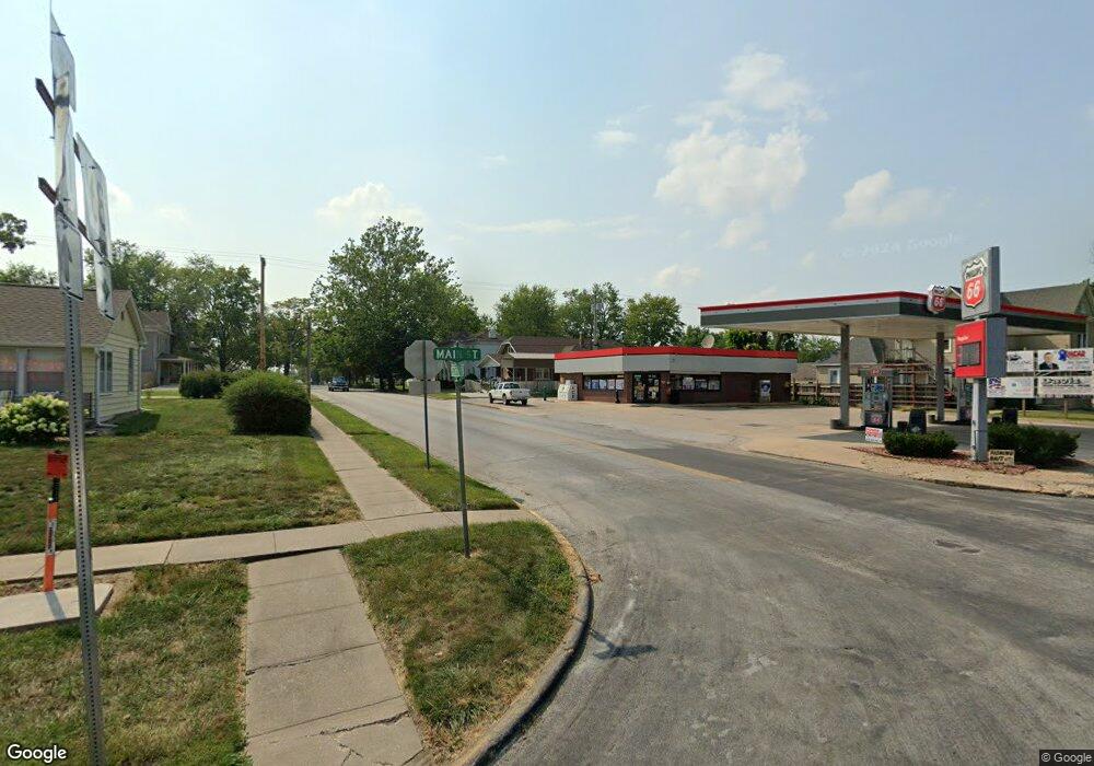
5495 Highway C Palmyra, MO 63461
Estimated Value: $274,000 - $367,000
3
Beds
1
Bath
1,728
Sq Ft
$188/Sq Ft
Est. Value
About This Home
This home is located at 5495 Highway C, Palmyra, MO 63461 and is currently estimated at $324,295, approximately $187 per square foot. 5495 Highway C is a home with nearby schools including Palmyra Elementary School, Palmyra Middle School, and Palmyra High School.
Ownership History
Date
Name
Owned For
Owner Type
Purchase Details
Closed on
May 18, 2021
Sold by
Mcelvain Roth D and Mcelvain Kaitlynn J
Bought by
Roth And Kaitlynn Mcelvain Trust and Mcelvain
Current Estimated Value
Purchase Details
Closed on
Dec 28, 2015
Sold by
Bemis Donald D and Bemis Teresa
Bought by
Mcelvain Roth D and Mcelvain Kaitlyn J
Home Financials for this Owner
Home Financials are based on the most recent Mortgage that was taken out on this home.
Original Mortgage
$161,500
Interest Rate
3.98%
Mortgage Type
New Conventional
Create a Home Valuation Report for This Property
The Home Valuation Report is an in-depth analysis detailing your home's value as well as a comparison with similar homes in the area
Home Values in the Area
Average Home Value in this Area
Purchase History
| Date | Buyer | Sale Price | Title Company |
|---|---|---|---|
| Roth And Kaitlynn Mcelvain Trust | -- | None Listed On Document | |
| T Roth | -- | None Available | |
| Mcelvain Roth D | -- | None Available |
Source: Public Records
Mortgage History
| Date | Status | Borrower | Loan Amount |
|---|---|---|---|
| Previous Owner | Mcelvain Roth D | $161,500 |
Source: Public Records
Tax History Compared to Growth
Tax History
| Year | Tax Paid | Tax Assessment Tax Assessment Total Assessment is a certain percentage of the fair market value that is determined by local assessors to be the total taxable value of land and additions on the property. | Land | Improvement |
|---|---|---|---|---|
| 2024 | $1,669 | $30,820 | $4,060 | $26,760 |
| 2023 | $1,651 | $30,820 | $4,060 | $26,760 |
| 2022 | $1,648 | $30,820 | $4,060 | $26,760 |
| 2021 | $1,648 | $30,820 | $4,060 | $26,760 |
| 2020 | $1,465 | $27,080 | $2,530 | $24,550 |
| 2019 | $1,468 | $27,080 | $2,530 | $24,550 |
| 2018 | $1,467 | $27,080 | $2,530 | $24,550 |
| 2017 | $1,345 | $27,080 | $2,530 | $24,550 |
| 2015 | $1,425 | $27,080 | $2,530 | $24,550 |
| 2014 | $1,425 | $27,080 | $2,530 | $24,550 |
| 2012 | -- | $27,080 | $0 | $0 |
Source: Public Records
Map
Nearby Homes
- 4 Marion Road 270
- 5 Marion Rd 270 & 279
- 4996 Highway U
- 3950 County Road 329
- 3870 County Road 329
- 0 Liberty Dr
- 306 S Ashland Ave
- 121 Logan St
- 323 W Ross St
- 222 W Jefferson St
- 3215 Timber Ridge Rd
- 603 Sunset Dr
- 202 N Spring St
- 222 W New St
- 317 Johnson Place
- 320 W Elm St
- 206 E Church St
- 417 S Home St
- 418 Elizabeth Ave
- 815 N Dickerson St
- 5475 Highway C
- 5469 Vaden Ln
- 5460 Vaden Ln
- 5439 Vaden Ln
- 5496 Highway C
- 5440 Vaden Ln
- 5556 Highway C
- 5399 Vaden Ln
- 5558 Highway C
- 555O Highway C
- 5554 Highway C
- 5552 Highway C
- 5697 Highway C
- 5762 Highway C
- 4806 Blackberry Ln
- 6634 County Road 234
- 5144 Highway C
- 5844 County Road 270
- 4326 County Road 241
- 5072 Highway E
