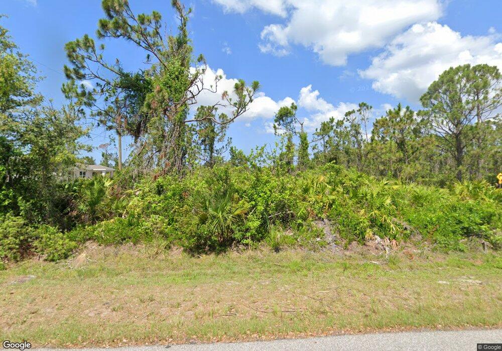
5495 Stokes St Port Charlotte, FL 33981
Gulf Cove NeighborhoodEstimated Value: $35,000 - $303,000
--
Bed
--
Bath
--
Sq Ft
0.46
Acres
About This Home
This home is located at 5495 Stokes St, Port Charlotte, FL 33981 and is currently estimated at $126,060. 5495 Stokes St is a home located in Charlotte County with nearby schools including Myakka River Elementary School, L.A. Ainger Middle School, and Lemon Bay High School.
Ownership History
Date
Name
Owned For
Owner Type
Purchase Details
Closed on
Sep 30, 2025
Sold by
Charlotte County
Bought by
Carlo Financial Software Technology Llc
Current Estimated Value
Purchase Details
Closed on
Jun 4, 2012
Sold by
Land Investors Corporation
Bought by
Massad Patrick and Massad Astrid
Purchase Details
Closed on
Apr 4, 2012
Sold by
The George Washington University
Bought by
Land Investors Corporation
Purchase Details
Closed on
Aug 11, 2011
Sold by
Brock Xavier M and Brock Hedda R
Bought by
The George Washington University
Create a Home Valuation Report for This Property
The Home Valuation Report is an in-depth analysis detailing your home's value as well as a comparison with similar homes in the area
Home Values in the Area
Average Home Value in this Area
Purchase History
| Date | Buyer | Sale Price | Title Company |
|---|---|---|---|
| Carlo Financial Software Technology Llc | $12,700 | None Listed On Document | |
| Massad Patrick | $13,000 | Florida Abstract & Security | |
| Land Investors Corporation | $10,000 | Florida Abstract & Security | |
| The George Washington University | -- | Attorney |
Source: Public Records
Tax History Compared to Growth
Tax History
| Year | Tax Paid | Tax Assessment Tax Assessment Total Assessment is a certain percentage of the fair market value that is determined by local assessors to be the total taxable value of land and additions on the property. | Land | Improvement |
|---|---|---|---|---|
| 2024 | $431 | $17,000 | $17,000 | -- |
| 2023 | $431 | $7,560 | $0 | $0 |
| 2022 | $380 | $14,025 | $14,025 | $0 |
| 2021 | $327 | $6,248 | $6,248 | $0 |
| 2020 | $360 | $6,248 | $6,248 | $0 |
| 2019 | $358 | $6,248 | $6,248 | $0 |
| 2018 | $345 | $5,950 | $5,950 | $0 |
| 2017 | $341 | $5,780 | $5,780 | $0 |
| 2016 | $341 | $5,780 | $0 | $0 |
| 2015 | $334 | $5,313 | $0 | $0 |
| 2014 | $324 | $5,143 | $0 | $0 |
Source: Public Records
Map
Nearby Homes
- 13315 Flaherty Ave
- 13297 Flaherty Ave
- 13323 Flaherty Ave
- 13339 Flaherty Ave
- 13266 Drysdale Ave
- 13280 Foresman Blvd
- 13363 Drysdale Ave
- 13264 Foresman Blvd
- 13309 Foresman Blvd
- 13301 Foresman Blvd
- 13360 Foresman Blvd
- 13371 Drysdale Ave
- 5383 Phelps Ln
- 5410 Stokes St
- 13316 Darnell Ave
- 5473 Burgner St
- 5440 Mahoney St
- 5634 Anderson Rd
- 13384 Darnell Ave
- 5432 Mahoney St
- 5745 Gillot Blvd
- 13274 Drysdale Ave
- 13296 Drysdale Ave
- 13306 Drysdale Ave
- 5705 Gillot Blvd
- 5753 Gillot Blvd
- 5478 Stokes St
- 13275 Drysdale Ave
- 13314 Drysdale Ave
- 13307 Drysdale Ave
- 13267 Drysdale Ave
- 13259 Drysdale Ave
- 13307 Flaherty Ave
- 13315 Drysdale Ave
- 5768 Gillot Blvd
- 13296 Foresman Blvd
- 5681 Gillot Blvd
- 13330 Drysdale Ave
- 13234 Drysdale Ave
- 5446 Stokes St