Estimated Value: $464,673 - $474,000
3
Beds
2
Baths
2,756
Sq Ft
$170/Sq Ft
Est. Value
About This Home
This home is located at 5497 W 480, Pryor, OK 74361 and is currently estimated at $469,337, approximately $170 per square foot. 5497 W 480 is a home located in Mayes County with nearby schools including Pryor Middle School and Pryor High School.
Ownership History
Date
Name
Owned For
Owner Type
Purchase Details
Closed on
Sep 25, 2018
Sold by
Mccollough Michael J and Mccollough Kristy
Bought by
The Mike And Kristy Mccollough Trust
Current Estimated Value
Purchase Details
Closed on
May 5, 2005
Sold by
Whitham Paul A and Whitham Cathie J
Bought by
Mccollough Michael J and Mccollough Kristy L
Home Financials for this Owner
Home Financials are based on the most recent Mortgage that was taken out on this home.
Original Mortgage
$42,228
Interest Rate
6.06%
Mortgage Type
Unknown
Create a Home Valuation Report for This Property
The Home Valuation Report is an in-depth analysis detailing your home's value as well as a comparison with similar homes in the area
Home Values in the Area
Average Home Value in this Area
Purchase History
| Date | Buyer | Sale Price | Title Company |
|---|---|---|---|
| The Mike And Kristy Mccollough Trust | -- | None Available | |
| Mccollough Michael J | $52,000 | None Available |
Source: Public Records
Mortgage History
| Date | Status | Borrower | Loan Amount |
|---|---|---|---|
| Closed | Mccollough Michael J | $42,228 |
Source: Public Records
Tax History Compared to Growth
Tax History
| Year | Tax Paid | Tax Assessment Tax Assessment Total Assessment is a certain percentage of the fair market value that is determined by local assessors to be the total taxable value of land and additions on the property. | Land | Improvement |
|---|---|---|---|---|
| 2023 | $2,003 | $23,998 | $2,500 | $21,498 |
| 2022 | $1,864 | $23,298 | $2,407 | $20,891 |
| 2021 | $1,825 | $22,620 | $2,302 | $20,318 |
| 2020 | $1,735 | $21,961 | $2,291 | $19,670 |
| 2019 | $1,735 | $21,322 | $2,277 | $19,045 |
| 2018 | $1,673 | $20,701 | $2,262 | $18,439 |
| 2017 | $1,423 | $19,025 | $2,584 | $16,441 |
| 2016 | $1,393 | $18,471 | $2,508 | $15,963 |
| 2015 | $1,372 | $17,932 | $2,435 | $15,497 |
| 2014 | $1,330 | $17,410 | $2,231 | $15,179 |
Source: Public Records
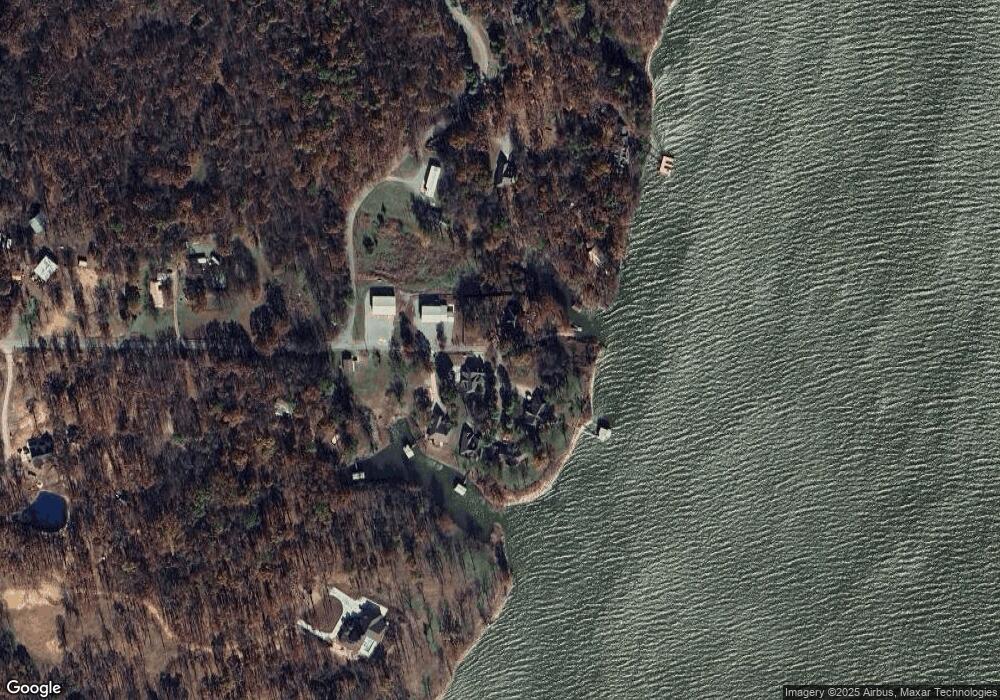
Map
Nearby Homes
- 0 Sun Prairie St Unit 2518981
- 0 Polk Cir
- 0 Frances Ln Unit 2518975
- 0 Frances Ln Unit 2518971
- 427 Spring Creek St
- 1488 N 429
- 0 Spring Creek St Unit 2541644
- 0 N 430 Rd
- 104 S 429
- 5868 W 493
- 192 Prairie Dr
- 315 Prairie Dr
- 0 W Highway 20
- 795 Blue Bird Ln
- 420 NW 5th St
- 450 Twin Creeks Ln
- 26 Sunshine Ln
- 318 Twin Creeks Ln
- 175 S 428
- 15 S Mayes St