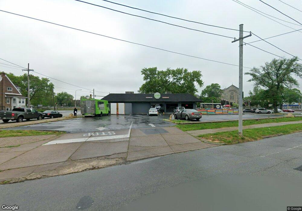
5498 Oxford Ave Philadelphia, PA 19124
Lawncrest NeighborhoodEstimated Value: $860,565
--
Bed
--
Bath
2,680
Sq Ft
$321/Sq Ft
Est. Value
About This Home
This home is located at 5498 Oxford Ave, Philadelphia, PA 19124 and is currently estimated at $860,565, approximately $321 per square foot. 5498 Oxford Ave is a home located in Philadelphia County with nearby schools including Frankford High School, The Philadelphia Charter School for the Arts & Sciences, and St Martin Of Tours Catholic School.
Ownership History
Date
Name
Owned For
Owner Type
Purchase Details
Closed on
Nov 7, 2019
Sold by
Mcdonald S Corporation
Bought by
H & L N Llc
Current Estimated Value
Purchase Details
Closed on
Jan 11, 1972
Bought by
Torres Daniel
Create a Home Valuation Report for This Property
The Home Valuation Report is an in-depth analysis detailing your home's value as well as a comparison with similar homes in the area
Home Values in the Area
Average Home Value in this Area
Purchase History
| Date | Buyer | Sale Price | Title Company |
|---|---|---|---|
| H & L N Llc | $525,000 | None Available | |
| Torres Daniel | -- | -- |
Source: Public Records
Tax History Compared to Growth
Tax History
| Year | Tax Paid | Tax Assessment Tax Assessment Total Assessment is a certain percentage of the fair market value that is determined by local assessors to be the total taxable value of land and additions on the property. | Land | Improvement |
|---|---|---|---|---|
| 2026 | $9,061 | $656,600 | $459,620 | $196,980 |
| 2025 | $9,061 | $656,600 | $459,620 | $196,980 |
| 2024 | $9,061 | $656,600 | $459,620 | $196,980 |
| 2023 | $9,061 | $647,300 | $453,132 | $194,168 |
| 2022 | $8,292 | $647,300 | $453,132 | $194,168 |
| 2021 | $8,292 | $0 | $0 | $0 |
| 2020 | $8,292 | $0 | $0 | $0 |
| 2019 | $8,292 | $0 | $0 | $0 |
| 2018 | $8,304 | $0 | $0 | $0 |
| 2017 | $6,838 | $0 | $0 | $0 |
| 2016 | $6,838 | $0 | $0 | $0 |
| 2015 | $6,546 | $0 | $0 | $0 |
| 2014 | -- | $488,500 | $166,900 | $321,600 |
| 2012 | -- | $129,600 | $58,000 | $71,600 |
Source: Public Records
Map
Nearby Homes
- 5661 Miriam Rd
- 5659 Miriam Rd
- 1048 Bridge St
- 1431 Rosalie St
- 1137 Bridge St
- 5640 Miriam Rd
- 5902 E Roosevelt Blvd
- 996 Anchor St
- 991 Carver St
- 5900 Loretto Ave
- 1225 E Cheltenham Ave
- 1211 E Cheltenham Ave
- 7753 E Roosevelt Blvd
- 5347 Sylvester St
- 1244 E Sanger St
- 7600 E Roosevelt Blvd Unit 206
- 7600 E Roosevelt Blvd Unit 212
- 7600 E Roosevelt Blvd Unit 909
- 7600 E Roosevelt Blvd Unit 705
- 7600 E Roosevelt Blvd Unit 701
- 5335 Castor Ave
- 5398 Oxford Ave
- 5333 Castor Ave
- 5419 Oxford Ave
- 5417 Oxford Ave
- 5423 Oxford Ave
- 5396 Oxford Ave
- 5331 Castor Ave
- 5394 Oxford Ave
- 5329 Castor Ave
- 5411-15 Oxford Ave
- 5411 Oxford Ave
- 5392 Oxford Ave
- 5327 Castor Ave
- 5325 Castor Ave
- 5390 Oxford Ave
- 5388 Oxford Ave Unit 1ST FLOOR
- 5406 Rutland St
- 5410 Rutland St
- 5404 Rutland St