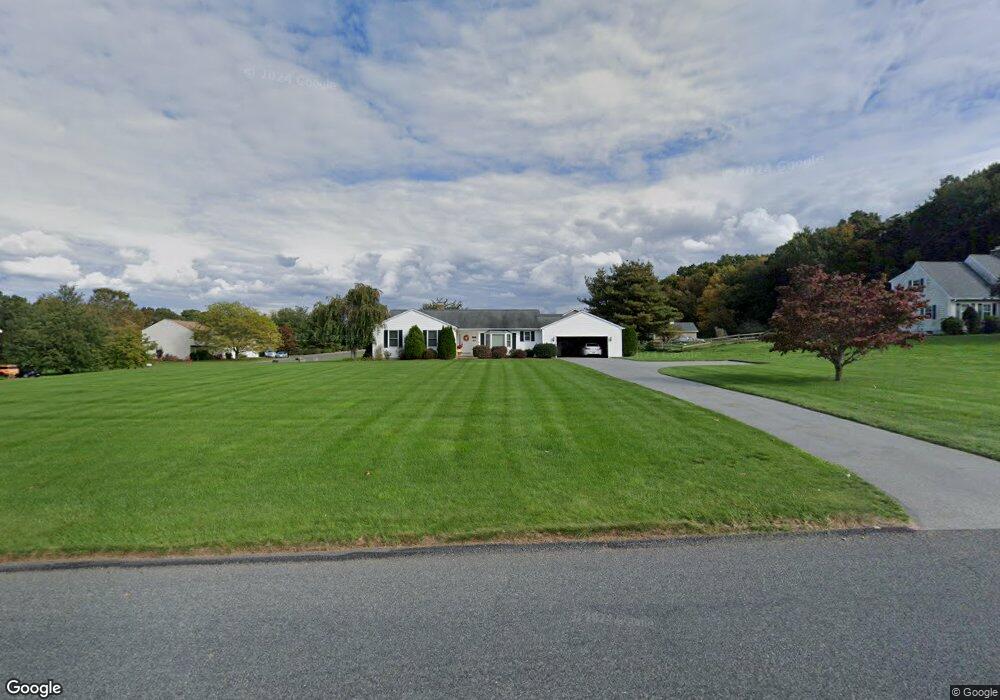
55 Abbott Rd Ellington, CT 06029
Estimated Value: $423,543 - $512,000
3
Beds
3
Baths
1,928
Sq Ft
$248/Sq Ft
Est. Value
About This Home
This home is located at 55 Abbott Rd, Ellington, CT 06029 and is currently estimated at $477,386, approximately $247 per square foot. 55 Abbott Rd is a home located in Tolland County with nearby schools including Ellington High School.
Ownership History
Date
Name
Owned For
Owner Type
Purchase Details
Closed on
Jul 8, 2022
Sold by
Hoisington Faye M Est and Hoisington
Bought by
Pacheo Alysea M and Haalk Craig W
Current Estimated Value
Home Financials for this Owner
Home Financials are based on the most recent Mortgage that was taken out on this home.
Original Mortgage
$230,743
Outstanding Balance
$219,545
Interest Rate
5.1%
Mortgage Type
FHA
Estimated Equity
$257,841
Purchase Details
Closed on
Aug 18, 1986
Bought by
West Harwood P and West Suzanne R
Create a Home Valuation Report for This Property
The Home Valuation Report is an in-depth analysis detailing your home's value as well as a comparison with similar homes in the area
Home Values in the Area
Average Home Value in this Area
Purchase History
| Date | Buyer | Sale Price | Title Company |
|---|---|---|---|
| Pacheo Alysea M | $235,000 | None Available | |
| West Harwood P | -- | -- |
Source: Public Records
Mortgage History
| Date | Status | Borrower | Loan Amount |
|---|---|---|---|
| Open | Pacheo Alysea M | $230,743 | |
| Previous Owner | West Harwood P | $103,000 | |
| Previous Owner | West Harwood P | $100,000 |
Source: Public Records
Tax History Compared to Growth
Tax History
| Year | Tax Paid | Tax Assessment Tax Assessment Total Assessment is a certain percentage of the fair market value that is determined by local assessors to be the total taxable value of land and additions on the property. | Land | Improvement |
|---|---|---|---|---|
| 2025 | $8,110 | $218,610 | $74,260 | $144,350 |
| 2024 | $7,870 | $218,610 | $74,260 | $144,350 |
| 2023 | $7,498 | $218,610 | $74,260 | $144,350 |
| 2022 | $7,105 | $218,610 | $74,260 | $144,350 |
| 2021 | $6,908 | $218,610 | $74,260 | $144,350 |
| 2020 | $6,951 | $213,210 | $75,690 | $137,520 |
| 2019 | $6,951 | $213,210 | $75,690 | $137,520 |
| 2016 | $6,503 | $213,210 | $75,690 | $137,520 |
| 2015 | $6,601 | $216,430 | $75,690 | $140,740 |
| 2014 | $6,212 | $216,430 | $75,690 | $140,740 |
Source: Public Records
Map
Nearby Homes
- 16 Ellridge Place
- 3 Standish Rd
- 2 Monticello Cir
- 60 Pinney Rd
- 149 Tripp Rd
- 42 Middle Rd
- 1 Abbott Rd Unit 37
- 1 Abbott Rd Unit 133
- 1 Abbott Rd Unit 49
- 2 Shepard Way
- 14 Pinney St Unit 24
- 18 Hayes Ave
- 71 Middle Rd
- 201 Skinner Rd
- 253 East Rd
- 77 Thrall Rd
- 183 Chamberlain Rd
- 119 Thrall Rd
- 40 Barber Hill Rd
- 60 Old Town Rd Unit 143
- 53 Abbott Rd
- 3 Ridgeview Dr
- 2 Ridgeview Dr
- 59 Abbott Rd
- 4 Ridgeview Dr
- 51 Abbott Rd
- 6 Ridgeview Dr
- 7 Ridgeview Dr
- 61 Abbott Rd
- 8 Ridgeview Dr
- 10 Ridgeview Dr
- 6 Ellridge Place
- 2 Ellridge Place
- 4 Ellridge Place
- 3 Ellridge Place
- 8 Ellridge Place
- 11 Ridgeview Dr
- 12 Ridgeview Dr
- 1 Ellridge Place
- 9 Ellridge Place