55 Abenaki Way Kennebunkport, ME 04046
Estimated Value: $1,510,000 - $2,717,000
4
Beds
4
Baths
4,536
Sq Ft
$425/Sq Ft
Est. Value
About This Home
This home is located at 55 Abenaki Way, Kennebunkport, ME 04046 and is currently estimated at $1,926,809, approximately $424 per square foot. 55 Abenaki Way is a home located in York County with nearby schools including Kennebunk High School.
Ownership History
Date
Name
Owned For
Owner Type
Purchase Details
Closed on
Sep 30, 2015
Sold by
Tahan Bonnie A
Bought by
Adams Ryan and Adams Leah
Current Estimated Value
Home Financials for this Owner
Home Financials are based on the most recent Mortgage that was taken out on this home.
Original Mortgage
$138,000
Outstanding Balance
$108,834
Interest Rate
3.95%
Mortgage Type
New Conventional
Estimated Equity
$1,817,975
Purchase Details
Closed on
Jun 20, 2008
Sold by
Md Rt
Bought by
Tahan Bonnie A
Create a Home Valuation Report for This Property
The Home Valuation Report is an in-depth analysis detailing your home's value as well as a comparison with similar homes in the area
Home Values in the Area
Average Home Value in this Area
Purchase History
| Date | Buyer | Sale Price | Title Company |
|---|---|---|---|
| Adams Ryan | -- | -- | |
| Tahan Bonnie A | -- | -- |
Source: Public Records
Mortgage History
| Date | Status | Borrower | Loan Amount |
|---|---|---|---|
| Open | Adams Ryan | $138,000 | |
| Previous Owner | Tahan Bonnie A | $100,000 |
Source: Public Records
Tax History Compared to Growth
Tax History
| Year | Tax Paid | Tax Assessment Tax Assessment Total Assessment is a certain percentage of the fair market value that is determined by local assessors to be the total taxable value of land and additions on the property. | Land | Improvement |
|---|---|---|---|---|
| 2024 | $6,009 | $924,500 | $287,000 | $637,500 |
| 2023 | $5,778 | $924,500 | $287,000 | $637,500 |
| 2022 | $5,531 | $921,800 | $287,000 | $634,800 |
| 2021 | $6,522 | $679,400 | $171,500 | $507,900 |
| 2020 | $6,420 | $679,400 | $171,500 | $507,900 |
| 2019 | $6,420 | $679,400 | $171,500 | $507,900 |
| 2018 | $5,952 | $679,400 | $171,500 | $507,900 |
| 2017 | $5,911 | $679,400 | $171,500 | $507,900 |
| 2016 | $5,625 | $679,400 | $171,500 | $507,900 |
| 2015 | $5,154 | $679,400 | $171,500 | $507,900 |
| 2014 | $5,184 | $679,400 | $171,500 | $507,900 |
Source: Public Records
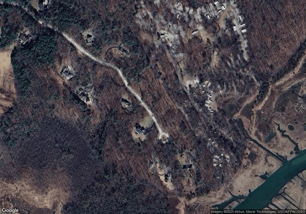
Map
Nearby Homes
- 442 Kings Hwy
- 190 Mills Rd
- 4 Prospect Reserve Way
- Lot 1 Prospect Reserve Way
- 0 Goosefair
- Lot 4 Prospect Reserve Way
- Lot 11 Prospect Reserve Way
- 5 Dyke Rd Unit E
- 20 Stone Rd
- 40 Wildwood Ave
- 32 Beaver Pond Rd
- 12 Eel Bridge Ln
- 22 Pier Rd Unit 1
- 22 Pier Rd Unit 2
- 286 Goose Rocks Rd
- 1081 Kings Hwy
- 160 Main St
- 7 Pier Rd Unit 7
- 0 Campbell Ln Unit 1630141
- 142 Main St Unit 1&2
- 56 Abenaki Way
- 49 Abenaki Way
- Lot 4 Abenaki Way
- 45 Abenaki Way
- 33 Abenaki Way
- 38 Abenaki Way
- 29 Abenaki Way
- 30 Abenaki Way
- 14 Whittemore Ln
- 14 Whittemore Ln
- 9 Sunset Ln
- 12 Whittemore Ln
- 21 Waterside Ln
- 9 Harrison Ln
- 10 Whittemore Ln
- 478 Kings Hwy
- 438 Kings Hwy
- 438 Kings Hwy
- 7 Abenaki Way
- 466 Kings Hwy