55 Adams Point Rd Durham, NH 03824
Durham AreaEstimated Value: $1,564,000 - $2,659,915
About This Home
This home is located at 55 Adams Point Rd, Durham, NH 03824 and is currently estimated at $2,055,972, approximately $378 per square foot. 55 Adams Point Rd is a home located in Strafford County with nearby schools including Mast Way School, Oyster River Middle School, and Oyster River High School.
Ownership History
We collect this data history from publicly available records. To have your information removed, we recommend requesting removal directly through your county’s website.
Purchase Details
Home Values in the Area
Average Home Value in this Area
Purchase History
We collect this data history from publicly available records. To have your information removed, we recommend requesting removal directly through your county’s website.
| Date | Buyer | Sale Price | Title Company |
|---|---|---|---|
| -- | None Available |
Mortgage History
We collect this data history from publicly available records. To have your information removed, we recommend requesting removal directly through your county’s website.
| Date | Status | Borrower | Loan Amount |
|---|---|---|---|
| Previous Owner | $1,096,000 |
Tax History
We collect this data history from publicly available records. To have your information removed, we recommend requesting removal directly through your county’s website.
| Year | Tax Paid | Tax Assessment Tax Assessment Total Assessment is a certain percentage of the fair market value that is determined by local assessors to be the total taxable value of land and additions on the property. | Land | Improvement |
|---|---|---|---|---|
| 2025 | $42,993 | $2,278,376 | $690,776 | $1,587,600 |
| 2024 | $38,664 | $1,901,830 | $433,030 | $1,468,800 |
| 2023 | $38,951 | $1,901,906 | $433,106 | $1,468,800 |
| 2022 | $37,533 | $1,292,475 | $321,175 | $971,300 |
| 2021 | $36,024 | $1,290,720 | $319,420 | $971,300 |
| 2020 | $35,790 | $1,290,677 | $319,377 | $971,300 |
| 2019 | $35,405 | $1,290,723 | $319,423 | $971,300 |
| 2018 | $34,591 | $1,290,708 | $319,408 | $971,300 |
| 2017 | $39,951 | $1,303,889 | $327,389 | $976,500 |
| 2016 | $35,018 | $1,177,858 | $327,358 | $850,500 |
| 2015 | $33,237 | $1,113,458 | $327,358 | $786,100 |
| 2014 | $33,984 | $1,113,498 | $327,398 | $786,100 |
| 2013 | $41,543 | $1,366,102 | $452,102 | $914,000 |
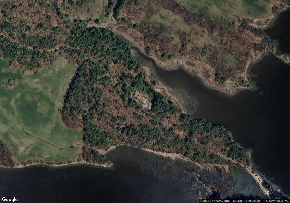
Map
- 402 Bay Rd
- 267 Durham Point Rd
- 312 Durham Point Rd
- 28 Colony Cove Rd
- Homesite 6-5 Beane Ln
- 30 Cedar Point Rd
- 71 Shipwright Way
- 82 Shipwright Way
- SLIP 27 Little Bay Marina
- SLIP 28 Little Bay Marina
- SLIP 11 Little Bay Marina
- 27 Ross Rd
- SLIP 13 Little Bay Marina
- 1 Denbow Rd
- 18 Little Bay Dr
- 228 Cushing Rd Unit A
- 228 Cushing Rd
- 8 Heaphy Ln
- 4 Osprey Ln
- 33 Little Bay Dr
- 55 Adams Point Rd
- 50 Adams Point Rd
- 36 Adams Point Rd
- 20 Adams Point Rd
- 395 Bay Rd
- 315 Durham Point Rd
- 297 Durham Point Rd
- 375 Bay Rd
- 375 Bay Rd Unit 1
- 401 Bay Rd
- 0 Bay Rd
- 295 Durham Point Rd
- 433 Bay Rd
- 360 Durham Point Rd
- 283 Durham Point Rd
- 406 Bay Rd
- 00 Durham Point and Dame Rd
- 426 Bay Rd
- 305 Durham Point Rd
- 279 Durham Point Rd
Ask me questions while you tour the home.