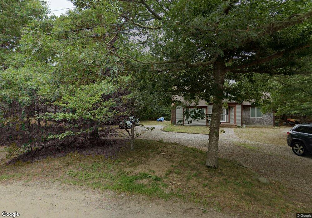
55 Aunt Helens Way Eastham, MA 02642
Estimated Value: $804,930 - $928,000
3
Beds
3
Baths
1,684
Sq Ft
$504/Sq Ft
Est. Value
About This Home
This home is located at 55 Aunt Helens Way, Eastham, MA 02642 and is currently estimated at $848,233, approximately $503 per square foot. 55 Aunt Helens Way is a home located in Barnstable County with nearby schools including Eastham Elementary School, Nauset Regional Middle School, and Nauset Regional High School.
Ownership History
Date
Name
Owned For
Owner Type
Purchase Details
Closed on
Jul 25, 2005
Sold by
Jalbert Laurie A
Bought by
Glahn Kenneth A and Glahn Linda Doyan
Current Estimated Value
Home Financials for this Owner
Home Financials are based on the most recent Mortgage that was taken out on this home.
Original Mortgage
$424,000
Outstanding Balance
$220,331
Interest Rate
5.59%
Mortgage Type
Purchase Money Mortgage
Estimated Equity
$627,902
Purchase Details
Closed on
Mar 3, 1995
Sold by
Devoe Lorraine F
Bought by
Jalbert Steven A and Jalbert Laurie A
Create a Home Valuation Report for This Property
The Home Valuation Report is an in-depth analysis detailing your home's value as well as a comparison with similar homes in the area
Home Values in the Area
Average Home Value in this Area
Purchase History
| Date | Buyer | Sale Price | Title Company |
|---|---|---|---|
| Glahn Kenneth A | $530,000 | -- | |
| Jalbert Steven A | $30,000 | -- |
Source: Public Records
Mortgage History
| Date | Status | Borrower | Loan Amount |
|---|---|---|---|
| Open | Glahn Kenneth A | $424,000 |
Source: Public Records
Tax History Compared to Growth
Tax History
| Year | Tax Paid | Tax Assessment Tax Assessment Total Assessment is a certain percentage of the fair market value that is determined by local assessors to be the total taxable value of land and additions on the property. | Land | Improvement |
|---|---|---|---|---|
| 2025 | $5,258 | $682,000 | $266,700 | $415,300 |
| 2024 | $4,642 | $662,200 | $258,900 | $403,300 |
| 2023 | $4,310 | $595,300 | $239,700 | $355,600 |
| 2022 | $4,013 | $467,700 | $214,000 | $253,700 |
| 2021 | $3,902 | $425,100 | $194,500 | $230,600 |
| 2020 | $3,637 | $417,100 | $198,600 | $218,500 |
| 2019 | $3,342 | $405,100 | $192,800 | $212,300 |
| 2018 | $3,306 | $395,900 | $187,200 | $208,700 |
| 2017 | $3,066 | $388,100 | $183,500 | $204,600 |
| 2016 | $2,860 | $384,400 | $183,500 | $200,900 |
| 2015 | $2,663 | $375,000 | $179,900 | $195,100 |
Source: Public Records
Map
Nearby Homes
- 510 Hay Rd
- 330 Hay Rd
- 180 Country Ln
- 20 White Pines Dr
- 40 NW 35 and 45 Se St St
- 40 Northwest St
- 70 Lombard Ln
- 993 Intonti Way
- 995 Intonti Way
- 1875 State Hwy
- 1975 State Hwy Unit 3
- 1975 State Hwy Unit 1
- 30 Cove Rd
- 25 Twin Rocks Dr
- 758 State Hwy
- 45 Southeast St
- 10 Cartway N
- 60 Smith Heights Way
- 10 Appleseed Rd
- 645 Samoset Rd
- 130 Uncle Nate's Way
- 95 Aunt Helens Way
- 35 Aunt Helens Way
- 90 Aunt Helens Way
- 25 Aunt Helens Way
- 100 Aunt Helens Way
- 135 Aunt Helens Way
- 0 Pilgrim
- 25 Pilgrim Ln
- 40 Uncle Nates Way
- 27 Nutmeg Ln
- 22 Nutmeg Ln
- 700 Governor Prence Rd
- 155 Aunt Helens Way
- 25 Nutmeg Ln
- 26 Pilgrim Ln
- 23 Pilgrim Ln
- 23 Pilgrims Path
- 30 Uncle Nates Way
- 25 Hatties Way