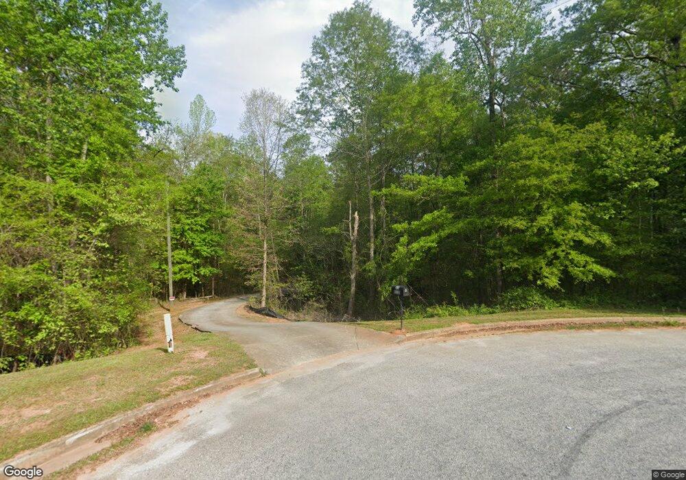
55 Barberry Cir Covington, GA 30016
Estimated Value: $216,000 - $283,000
4
Beds
3
Baths
1,220
Sq Ft
$214/Sq Ft
Est. Value
About This Home
This home is located at 55 Barberry Cir, Covington, GA 30016 and is currently estimated at $261,631, approximately $214 per square foot. 55 Barberry Cir is a home located in Newton County with nearby schools including Livingston Elementary School, Liberty Middle School, and Alcovy High School.
Ownership History
Date
Name
Owned For
Owner Type
Purchase Details
Closed on
Oct 29, 2009
Sold by
Pittman Tosha D
Bought by
Reid Tosha P
Current Estimated Value
Home Financials for this Owner
Home Financials are based on the most recent Mortgage that was taken out on this home.
Original Mortgage
$84,196
Outstanding Balance
$55,089
Interest Rate
5.04%
Mortgage Type
FHA
Estimated Equity
$206,542
Purchase Details
Closed on
Oct 28, 2009
Sold by
Aurora Ln Svcs Llc
Bought by
Pittman Tosha
Home Financials for this Owner
Home Financials are based on the most recent Mortgage that was taken out on this home.
Original Mortgage
$84,196
Outstanding Balance
$55,089
Interest Rate
5.04%
Mortgage Type
FHA
Estimated Equity
$206,542
Purchase Details
Closed on
Aug 4, 2009
Sold by
Sanders Karen E
Bought by
Aurora Loan Services Llc
Purchase Details
Closed on
Apr 4, 2007
Sold by
Anderson Hmbldrs Inc
Bought by
Sanders Karen E
Home Financials for this Owner
Home Financials are based on the most recent Mortgage that was taken out on this home.
Original Mortgage
$155,000
Interest Rate
6.18%
Mortgage Type
New Conventional
Create a Home Valuation Report for This Property
The Home Valuation Report is an in-depth analysis detailing your home's value as well as a comparison with similar homes in the area
Home Values in the Area
Average Home Value in this Area
Purchase History
| Date | Buyer | Sale Price | Title Company |
|---|---|---|---|
| Reid Tosha P | -- | -- | |
| Pittman Tosha | $85,800 | -- | |
| Aurora Loan Services Llc | $161,177 | -- | |
| Sanders Karen E | $155,000 | -- |
Source: Public Records
Mortgage History
| Date | Status | Borrower | Loan Amount |
|---|---|---|---|
| Open | Pittman Tosha | $84,196 | |
| Previous Owner | Sanders Karen E | $155,000 |
Source: Public Records
Tax History Compared to Growth
Tax History
| Year | Tax Paid | Tax Assessment Tax Assessment Total Assessment is a certain percentage of the fair market value that is determined by local assessors to be the total taxable value of land and additions on the property. | Land | Improvement |
|---|---|---|---|---|
| 2024 | $2,151 | $86,680 | $12,000 | $74,680 |
| 2023 | $2,010 | $75,960 | $6,200 | $69,760 |
| 2022 | $1,687 | $64,080 | $6,200 | $57,880 |
| 2021 | $1,767 | $60,400 | $6,200 | $54,200 |
| 2020 | $1,467 | $47,560 | $4,000 | $43,560 |
| 2019 | $1,480 | $47,280 | $4,000 | $43,280 |
| 2018 | $1,257 | $40,520 | $4,000 | $36,520 |
| 2017 | $619 | $21,920 | $4,000 | $17,920 |
| 2016 | $619 | $21,920 | $4,000 | $17,920 |
| 2015 | $589 | $21,040 | $2,000 | $19,040 |
| 2014 | $569 | $20,480 | $0 | $0 |
Source: Public Records
Map
Nearby Homes
- 0 High Grove Dr Unit 3258927
- 190 Highgrove Dr
- 190 Highgrove Dr Unit 93
- 190 Highgrove Dr Unit 2
- 160 Highgrove Dr Unit 2
- 170 Highgrove Dr
- 180 Highgrove Dr
- 200 Highgrove Dr
- 200 Highgrove Dr
- 150 Highgrove Dr
- 0 Highgrove Dr Unit 8320045
- 0 Highgrove Dr Unit 8151106
- 0 Highgrove Dr Unit 8145900
- 0 Highgrove Dr Unit 8872414
- 0 Highgrove Dr Unit 8118869
- 0 Highgrove Dr Unit 8682368
- 0 Highgrove Dr Unit 9004756
- 0 Highgrove Dr Unit 9047248
- 0 Highgrove Dr Unit 8744613
- 0 Highgrove Dr Unit 7046482
