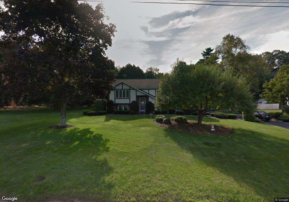
55 Blake Rd Wrentham, MA 02093
Estimated Value: $611,000 - $789,000
3
Beds
2
Baths
1,962
Sq Ft
$346/Sq Ft
Est. Value
About This Home
This home is located at 55 Blake Rd, Wrentham, MA 02093 and is currently estimated at $678,396, approximately $345 per square foot. 55 Blake Rd is a home located in Norfolk County with nearby schools including Delaney Elementary School and Charles E Roderick.
Ownership History
Date
Name
Owned For
Owner Type
Purchase Details
Closed on
Jun 6, 1978
Bought by
Gray James A and Gray Catherine R
Current Estimated Value
Create a Home Valuation Report for This Property
The Home Valuation Report is an in-depth analysis detailing your home's value as well as a comparison with similar homes in the area
Purchase History
| Date | Buyer | Sale Price | Title Company |
|---|---|---|---|
| Gray James A | -- | -- |
Source: Public Records
Mortgage History
| Date | Status | Borrower | Loan Amount |
|---|---|---|---|
| Open | Gray James A | $233,000 | |
| Closed | Gray James A | $89,000 | |
| Closed | Gray James A | $210,000 |
Source: Public Records
Tax History
| Year | Tax Paid | Tax Assessment Tax Assessment Total Assessment is a certain percentage of the fair market value that is determined by local assessors to be the total taxable value of land and additions on the property. | Land | Improvement |
|---|---|---|---|---|
| 2025 | $6,762 | $583,400 | $289,100 | $294,300 |
| 2024 | $6,365 | $530,400 | $289,100 | $241,300 |
| 2023 | $6,102 | $483,500 | $262,900 | $220,600 |
| 2022 | $5,956 | $435,700 | $245,300 | $190,400 |
| 2021 | $5,053 | $359,100 | $214,100 | $145,000 |
| 2020 | $5,680 | $398,600 | $190,400 | $208,200 |
| 2019 | $5,453 | $386,200 | $190,400 | $195,800 |
| 2018 | $5,529 | $388,300 | $190,600 | $197,700 |
| 2017 | $5,223 | $366,500 | $186,900 | $179,600 |
| 2016 | $5,107 | $357,600 | $181,500 | $176,100 |
| 2015 | $4,933 | $329,300 | $174,500 | $154,800 |
| 2014 | $5,017 | $327,700 | $167,800 | $159,900 |
Source: Public Records
Map
Nearby Homes
- 500 Franklin St
- 287 Park St
- 246 Forest Grove Ave
- 10 Nature View Dr
- 15 Nature View Dr
- 50 Reed Fulton Ave Unit Lot 61
- 45 Joshua Rd
- 0 W Birch Rd
- 11 Weber Farm Rd Unit 11
- 8 Weber Farm Rd Unit 8
- 11 Earle Stewart Ln
- 30 Weber Farm Rd Unit 30
- Loty 3-14 Earle Stewart Ln
- 12 Earle Stewart Ln
- Lot 1 - Blueberry 2 Car Plan at King Philip Estates
- Lot 8 - Blueberry 2 Car Plan at King Philip Estates
- Lot 5 - Hughes 2 car Plan at King Philip Estates
- Lot 6 - Blueberry 3 Car Plan at King Philip Estates
- 10 Earle Stewart Ln Unit Lot 5
- Lot 2 - Camden 2 Car Plan at King Philip Estates
Your Personal Tour Guide
Ask me questions while you tour the home.