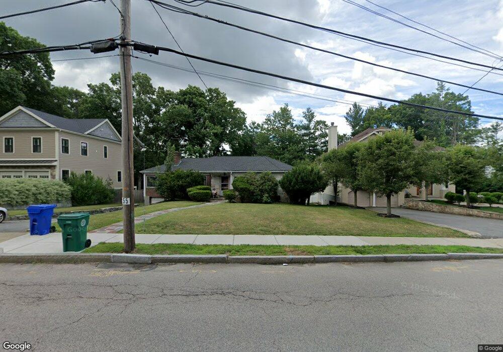
55 Brookline St Chestnut Hill, MA 02467
Oak Hill NeighborhoodEstimated Value: $2,184,000 - $3,551,000
4
Beds
2
Baths
1,800
Sq Ft
$1,689/Sq Ft
Est. Value
About This Home
This home is located at 55 Brookline St, Chestnut Hill, MA 02467 and is currently estimated at $3,039,331, approximately $1,688 per square foot. 55 Brookline St is a home located in Middlesex County with nearby schools including Memorial Spaulding Elementary School, Oak Hill Middle School, and Newton South High School.
Ownership History
Date
Name
Owned For
Owner Type
Purchase Details
Closed on
Mar 28, 2025
Sold by
Gsdg 55 Brookline Llc
Bought by
Yoon Andrew J and Wang Xinzhu
Current Estimated Value
Home Financials for this Owner
Home Financials are based on the most recent Mortgage that was taken out on this home.
Original Mortgage
$2,000,000
Outstanding Balance
$1,984,835
Interest Rate
5.63%
Mortgage Type
Purchase Money Mortgage
Estimated Equity
$1,054,496
Purchase Details
Closed on
Jan 2, 2024
Sold by
Brookline Spencer T and Brookline Spencer
Bought by
Gsdg 55 Brookline Llc
Home Financials for this Owner
Home Financials are based on the most recent Mortgage that was taken out on this home.
Original Mortgage
$2,675,000
Interest Rate
7.44%
Mortgage Type
Purchase Money Mortgage
Purchase Details
Closed on
Apr 18, 2023
Sold by
Spencer Leon Est and Spencer
Bought by
Brookline Spencer T and Brookline Spencer
Create a Home Valuation Report for This Property
The Home Valuation Report is an in-depth analysis detailing your home's value as well as a comparison with similar homes in the area
Home Values in the Area
Average Home Value in this Area
Purchase History
| Date | Buyer | Sale Price | Title Company |
|---|---|---|---|
| Yoon Andrew J | $3,485,000 | None Available | |
| Yoon Andrew J | $3,485,000 | None Available | |
| Gsdg 55 Brookline Llc | $1,300,000 | None Available | |
| Gsdg 55 Brookline Llc | $1,300,000 | None Available | |
| Brookline Spencer T | -- | None Available | |
| Brookline Spencer T | -- | None Available |
Source: Public Records
Mortgage History
| Date | Status | Borrower | Loan Amount |
|---|---|---|---|
| Open | Yoon Andrew J | $2,000,000 | |
| Closed | Yoon Andrew J | $2,000,000 | |
| Previous Owner | Gsdg 55 Brookline Llc | $2,675,000 |
Source: Public Records
Tax History Compared to Growth
Tax History
| Year | Tax Paid | Tax Assessment Tax Assessment Total Assessment is a certain percentage of the fair market value that is determined by local assessors to be the total taxable value of land and additions on the property. | Land | Improvement |
|---|---|---|---|---|
| 2025 | $10,811 | $1,103,200 | $1,031,100 | $72,100 |
| 2024 | $10,454 | $1,071,100 | $1,001,100 | $70,000 |
| 2023 | $9,791 | $961,800 | $773,300 | $188,500 |
| 2022 | $9,369 | $890,600 | $716,000 | $174,600 |
| 2021 | $9,041 | $840,200 | $675,500 | $164,700 |
| 2020 | $8,772 | $840,200 | $675,500 | $164,700 |
| 2019 | $8,524 | $815,700 | $655,800 | $159,900 |
| 2018 | $8,063 | $745,200 | $595,900 | $149,300 |
| 2017 | $7,817 | $703,000 | $562,200 | $140,800 |
| 2016 | $7,477 | $657,000 | $525,400 | $131,600 |
| 2015 | $7,129 | $614,000 | $491,000 | $123,000 |
Source: Public Records
Map
Nearby Homes
- 109 Harwich Rd
- 70 Pond Brook Rd
- 14 Rolling Ln
- 44 Broadlawn Park Unit 22
- 99 Baldpate Hill Rd
- 64 Bryon Rd Unit 1
- 21 Westgate Rd Unit 6
- 42 Bryon Rd Unit 6
- 57 Broadlawn Park Unit 4B
- 63 Drumlin Rd
- 23 Westgate Rd Unit 6
- 56 Cynthia Rd
- 1206 Lagrange St Unit 1206
- 59 Deborah Rd
- 1206 Lagrange St
- 80 Louise Rd Unit 82
- 21 Lovett Rd
- 41 Juniper Ln
- 135 Hartman Rd
- 44 Lovett Rd
- 47 Brookline St
- 61 Brookline St
- 114 Harwich Rd
- 39 Brookline St
- 108 Harwich Rd
- 67 Brookline St
- 44 Rolling Ln
- 60 Brookline St
- 60 Brookline St Unit 2
- 102 Harwich Rd
- 120 Harwich Rd
- 66 Brookline St
- 40 Brookline St
- 40 Brookline St Unit A
- 33 Brookline St
- 73 Brookline St
- 94 Harwich Rd
- 40 Rolling Ln
- 36 High Rock Terrace
- 6 Audubon Dr