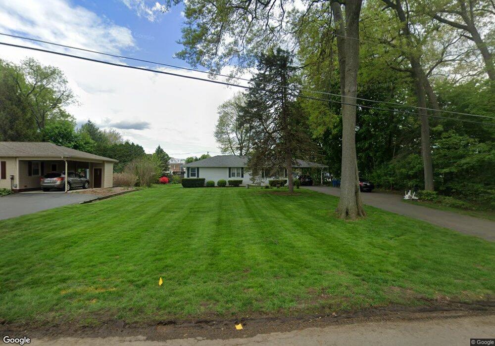
55 Calvin St West Springfield, MA 01089
Estimated Value: $320,000 - $344,000
3
Beds
2
Baths
1,170
Sq Ft
$282/Sq Ft
Est. Value
About This Home
This home is located at 55 Calvin St, West Springfield, MA 01089 and is currently estimated at $330,449, approximately $282 per square foot. 55 Calvin St is a home located in Hampden County with nearby schools including Hampden Charter School of Science West and St Thomas The Apostle School.
Ownership History
Date
Name
Owned For
Owner Type
Purchase Details
Closed on
Jul 29, 2005
Sold by
Higgins Ann Marie and Brighenti Simon J
Bought by
Deh-Atheba Raphael E
Current Estimated Value
Home Financials for this Owner
Home Financials are based on the most recent Mortgage that was taken out on this home.
Original Mortgage
$154,400
Outstanding Balance
$81,160
Interest Rate
5.67%
Mortgage Type
Purchase Money Mortgage
Estimated Equity
$249,289
Create a Home Valuation Report for This Property
The Home Valuation Report is an in-depth analysis detailing your home's value as well as a comparison with similar homes in the area
Home Values in the Area
Average Home Value in this Area
Purchase History
| Date | Buyer | Sale Price | Title Company |
|---|---|---|---|
| Deh-Atheba Raphael E | $193,000 | -- |
Source: Public Records
Mortgage History
| Date | Status | Borrower | Loan Amount |
|---|---|---|---|
| Open | Deh-Atheba Raphael E | $154,400 | |
| Closed | Deh-Atheba Raphael E | $38,600 |
Source: Public Records
Tax History Compared to Growth
Tax History
| Year | Tax Paid | Tax Assessment Tax Assessment Total Assessment is a certain percentage of the fair market value that is determined by local assessors to be the total taxable value of land and additions on the property. | Land | Improvement |
|---|---|---|---|---|
| 2025 | $3,716 | $249,900 | $111,200 | $138,700 |
| 2024 | $3,668 | $247,700 | $111,200 | $136,500 |
| 2023 | $3,532 | $227,300 | $111,200 | $116,100 |
| 2022 | $3,201 | $203,100 | $100,900 | $102,200 |
| 2021 | $3,133 | $185,400 | $94,200 | $91,200 |
| 2020 | $3,150 | $185,400 | $94,200 | $91,200 |
| 2019 | $3,144 | $185,400 | $94,200 | $91,200 |
| 2018 | $3,161 | $185,400 | $94,200 | $91,200 |
| 2017 | $3,161 | $185,400 | $94,200 | $91,200 |
| 2016 | $3,130 | $184,200 | $90,500 | $93,700 |
| 2015 | $3,087 | $181,700 | $88,800 | $92,900 |
| 2014 | $749 | $181,700 | $88,800 | $92,900 |
Source: Public Records
Map
Nearby Homes
- 47 Calvin St
- 71 Calvin St
- 58 Calvin St
- 35 Calvin St
- 668 Westfield St
- 646 Westfield St
- 46 Calvin St
- 70 Calvin St
- 81 Calvin St
- 632 Westfield St
- 680 Westfield St
- 31 Calvin Cir
- 14 Calvin Cir
- 41 Calvin Cir
- 25 Calvin St
- 706 Westfield St
- 36 Fabyan St
- 68 Calvin Cir
- 608 Westfield St Unit 12
- 608 Westfield St Unit 13