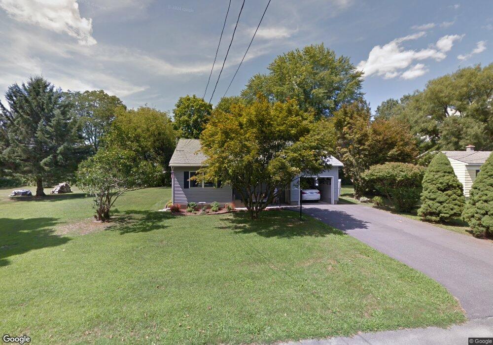
55 College Ave North Adams, MA 01247
Estimated Value: $225,000 - $246,405
2
Beds
1
Bath
1,024
Sq Ft
$229/Sq Ft
Est. Value
About This Home
This home is located at 55 College Ave, North Adams, MA 01247 and is currently estimated at $234,351, approximately $228 per square foot. 55 College Ave is a home located in Berkshire County with nearby schools including Greylock Elementary School, Drury High School, and Pine Cobble School.
Ownership History
Date
Name
Owned For
Owner Type
Purchase Details
Closed on
Sep 27, 2017
Sold by
Stpierre Joseph R and Stpierre Donna
Bought by
Stpierre Joseph R and Stpierre Donna L
Current Estimated Value
Purchase Details
Closed on
Jan 25, 2016
Sold by
Boyle Helen R and Boyle Hellen R
Bought by
Stpierre Joseph R
Purchase Details
Closed on
Nov 10, 2011
Sold by
Cyr Henry A and Cyr Yolande
Bought by
Boyle Hellen R and Boyle James
Purchase Details
Closed on
Oct 30, 2008
Sold by
Peckham Robert L
Bought by
Cyr Henry A and Cyr Yolande
Create a Home Valuation Report for This Property
The Home Valuation Report is an in-depth analysis detailing your home's value as well as a comparison with similar homes in the area
Home Values in the Area
Average Home Value in this Area
Purchase History
| Date | Buyer | Sale Price | Title Company |
|---|---|---|---|
| Stpierre Joseph R | -- | -- | |
| Stpierre Joseph R | $114,000 | -- | |
| Boyle Hellen R | -- | -- | |
| Cyr Henry A | $146,000 | -- | |
| Stpierre Joseph R | -- | -- | |
| Boyle Hellen R | -- | -- | |
| Cyr Henry A | $146,000 | -- |
Source: Public Records
Tax History Compared to Growth
Tax History
| Year | Tax Paid | Tax Assessment Tax Assessment Total Assessment is a certain percentage of the fair market value that is determined by local assessors to be the total taxable value of land and additions on the property. | Land | Improvement |
|---|---|---|---|---|
| 2025 | $3,604 | $215,700 | $33,600 | $182,100 |
| 2024 | $3,349 | $195,400 | $30,800 | $164,600 |
| 2023 | $3,272 | $185,200 | $30,800 | $154,400 |
| 2022 | $2,956 | $159,500 | $30,800 | $128,700 |
| 2021 | $2,749 | $147,700 | $28,500 | $119,200 |
| 2020 | $2,698 | $144,900 | $28,300 | $116,600 |
| 2019 | $2,576 | $134,800 | $28,300 | $106,500 |
| 2018 | $2,468 | $134,300 | $29,800 | $104,500 |
| 2017 | $2,350 | $133,000 | $29,500 | $103,500 |
| 2016 | $2,278 | $131,000 | $29,500 | $101,500 |
| 2015 | $2,228 | $133,500 | $30,500 | $103,000 |
Source: Public Records
Map
Nearby Homes
- 25 College Ave
- 42 Harding Ave
- 25 Taft St
- 227 Protection Ave
- 505 Barbour St
- 447 Notch Rd
- 520 State Rd Unit 207
- 520 State Rd Unit 402
- 520 State Rd Unit 208
- 11 Foucher Ave
- 55 First St
- 1 State Rd
- 17 Phelps Ave
- 34 Goodrich St
- 20 Barlow Ave
- 26 Charles St
- 0 Reservoir Rd
- 5 Whitman St
- 0 Whitman St
- 86 W Main St
- 67 College Ave
- 48 College Ave
- 35 College Ave
- 40 College Ave
- 64 College Ave
- 77 College Ave
- 51 Biltmore Ave
- 32 College Ave
- 41 Biltmore Ave
- 78 College Ave
- 137 Harding Ave
- 147 Harding Ave
- 33 Biltmore Ave
- 75 Biltmore Ave
- 27 Biltmore Ave
- 15 College Ave
- 20 College Ave
- 38 Biltmore Ave
- 136 Harding Ave
- 130 Harding Ave