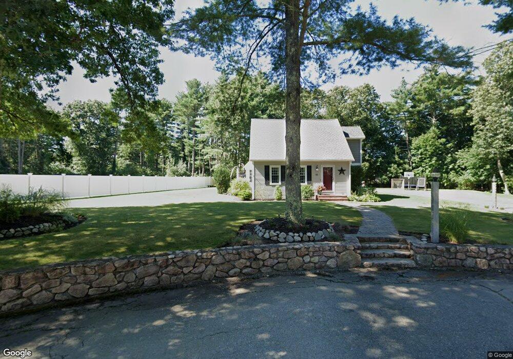
55 Crocker Pond Rd Wrentham, MA 02093
Estimated Value: $758,234 - $905,000
5
Beds
3
Baths
2,471
Sq Ft
$337/Sq Ft
Est. Value
About This Home
This home is located at 55 Crocker Pond Rd, Wrentham, MA 02093 and is currently estimated at $831,559, approximately $336 per square foot. 55 Crocker Pond Rd is a home located in Norfolk County with nearby schools including Delaney Elementary School, Charles E Roderick, and Foxborough Regional Charter School.
Ownership History
Date
Name
Owned For
Owner Type
Purchase Details
Closed on
Dec 19, 2008
Sold by
Piatelli Carol M
Bought by
Lewis Richard T and Lewis Kelly M
Current Estimated Value
Home Financials for this Owner
Home Financials are based on the most recent Mortgage that was taken out on this home.
Original Mortgage
$272,000
Outstanding Balance
$180,949
Interest Rate
6.27%
Mortgage Type
Purchase Money Mortgage
Estimated Equity
$650,610
Purchase Details
Closed on
Sep 17, 2004
Sold by
Wallace Judith M and Wallace Robert B
Bought by
Piatelli Carol M
Home Financials for this Owner
Home Financials are based on the most recent Mortgage that was taken out on this home.
Original Mortgage
$457,200
Interest Rate
6.02%
Mortgage Type
Purchase Money Mortgage
Create a Home Valuation Report for This Property
The Home Valuation Report is an in-depth analysis detailing your home's value as well as a comparison with similar homes in the area
Purchase History
| Date | Buyer | Sale Price | Title Company |
|---|---|---|---|
| Lewis Richard T | $340,000 | -- | |
| Piatelli Carol M | $508,000 | -- |
Source: Public Records
Mortgage History
| Date | Status | Borrower | Loan Amount |
|---|---|---|---|
| Open | Lewis Richard T | $272,000 | |
| Previous Owner | Piatelli Carol M | $457,200 |
Source: Public Records
Tax History
| Year | Tax Paid | Tax Assessment Tax Assessment Total Assessment is a certain percentage of the fair market value that is determined by local assessors to be the total taxable value of land and additions on the property. | Land | Improvement |
|---|---|---|---|---|
| 2025 | $7,441 | $642,000 | $302,300 | $339,700 |
| 2024 | $7,229 | $602,400 | $302,300 | $300,100 |
| 2023 | $7,125 | $564,600 | $274,700 | $289,900 |
| 2022 | $6,880 | $503,300 | $256,200 | $247,100 |
| 2021 | $6,450 | $458,400 | $223,600 | $234,800 |
| 2020 | $6,394 | $448,700 | $198,800 | $249,900 |
| 2019 | $6,144 | $435,100 | $198,800 | $236,300 |
| 2018 | $6,123 | $430,000 | $199,000 | $231,000 |
| 2017 | $5,729 | $402,000 | $195,200 | $206,800 |
| 2016 | $5,603 | $392,400 | $189,500 | $202,900 |
| 2015 | $5,204 | $347,400 | $167,000 | $180,400 |
| 2014 | $5,121 | $334,500 | $160,700 | $173,800 |
Source: Public Records
Map
Nearby Homes
- 25 Foxboro Rd
- 75 Foxboro Rd
- 131 Washington St Unit 42
- 131 Washington St Unit 50
- 65 Foxboro Rd
- 8 Weber Farm Rd Unit 8
- 11 Weber Farm Rd Unit 11
- 30 Weber Farm Rd Unit 30
- 9 Sharon Ave
- 11 Sharon Ave
- 155 Clark Rd Unit 155
- 11 Goodwin Dr
- 7 Hill St Unit 12
- 7 Hill St Unit 16
- 0 W Birch Rd
- 10 Nature View Dr
- 15 Nature View Dr
- 483 Thurston St
- 246 Forest Grove Ave
- 319 Taunton St
- 45 Crocker Pond Rd
- 704 East St
- 700 East St
- 712 East St
- 35 Crocker Pond Rd
- 694 East St
- 533 & 543 East St
- 742 East St
- 719 East St
- 685 East St
- 681 East St
- 25 Crocker Pond Rd
- 664 East St
- 40 Crocker Pond Rd
- 60 Crocker Pond Rd
- 12 Wilkinson Way
- 4 Wilkinson Way
- 8 Wilkinson Way
- 650 East St
- 50 Crocker Pond Rd
Your Personal Tour Guide
Ask me questions while you tour the home.