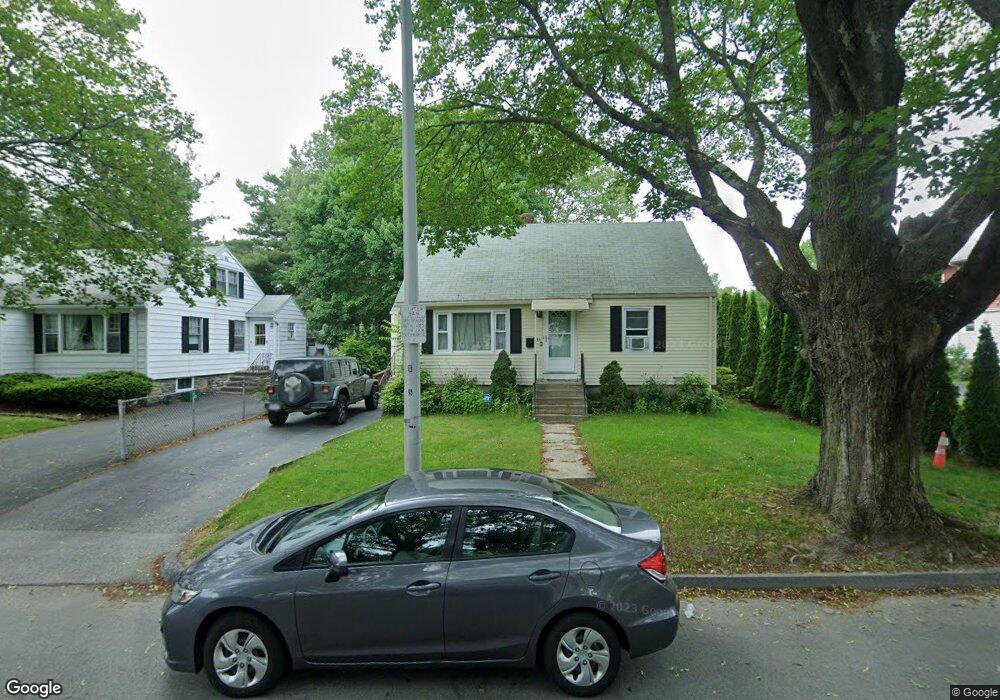
55 Crowningshield Rd Worcester, MA 01604
Broadmeadow Brook NeighborhoodEstimated Value: $355,745 - $420,000
4
Beds
1
Bath
1,200
Sq Ft
$318/Sq Ft
Est. Value
About This Home
This home is located at 55 Crowningshield Rd, Worcester, MA 01604 and is currently estimated at $381,686, approximately $318 per square foot. 55 Crowningshield Rd is a home located in Worcester County with nearby schools including Jacob Hiatt Magnet School, Chandler Magnet, and Rice Square Elementary School.
Ownership History
Date
Name
Owned For
Owner Type
Purchase Details
Closed on
May 16, 2005
Sold by
Es Desautell Lillian M and Desautell Richard J
Bought by
Murdock Lindsey and Silva Nathan
Current Estimated Value
Home Financials for this Owner
Home Financials are based on the most recent Mortgage that was taken out on this home.
Original Mortgage
$193,500
Outstanding Balance
$102,250
Interest Rate
6.05%
Mortgage Type
Purchase Money Mortgage
Estimated Equity
$279,436
Create a Home Valuation Report for This Property
The Home Valuation Report is an in-depth analysis detailing your home's value as well as a comparison with similar homes in the area
Home Values in the Area
Average Home Value in this Area
Purchase History
| Date | Buyer | Sale Price | Title Company |
|---|---|---|---|
| Murdock Lindsey | $215,000 | -- |
Source: Public Records
Mortgage History
| Date | Status | Borrower | Loan Amount |
|---|---|---|---|
| Open | Murdock Lindsey | $193,500 |
Source: Public Records
Tax History
| Year | Tax Paid | Tax Assessment Tax Assessment Total Assessment is a certain percentage of the fair market value that is determined by local assessors to be the total taxable value of land and additions on the property. | Land | Improvement |
|---|---|---|---|---|
| 2025 | $4,175 | $316,500 | $97,900 | $218,600 |
| 2024 | $4,089 | $297,400 | $97,900 | $199,500 |
| 2023 | $3,919 | $273,300 | $85,100 | $188,200 |
| 2022 | $3,660 | $240,600 | $68,100 | $172,500 |
| 2021 | $3,429 | $210,600 | $54,500 | $156,100 |
| 2020 | $3,337 | $196,300 | $54,500 | $141,800 |
| 2019 | $3,170 | $176,100 | $49,000 | $127,100 |
| 2018 | $3,179 | $168,100 | $49,000 | $119,100 |
| 2017 | $3,033 | $157,800 | $49,000 | $108,800 |
| 2016 | $2,993 | $145,200 | $36,400 | $108,800 |
| 2015 | $2,914 | $145,200 | $36,400 | $108,800 |
| 2014 | $2,837 | $145,200 | $36,400 | $108,800 |
Source: Public Records
Map
Nearby Homes
- 5 Everton Ave
- 83 Massasoit Rd
- 20 Brightwood Ave
- 91 Standish St
- 62 Allston Ave
- 429 Grafton St Unit 2
- 173 Fairmont Ave
- 16 Arborwood Dr
- 41 Bridgeport St
- 143 Dorcester
- 29 Dillon St
- 32 Granite St
- 59 Barclay St
- 7 Wabash Ave
- 80 Delmont Ave
- 49 South St
- 103 Hamilton St
- 15 Houghton St Unit 9
- 40 Aetna St
- 20 Bolton St
- 57 Crowningshield Rd
- 49 Crowningshield Rd
- 120 Kenberma Rd
- 112 Kenberma Rd
- 122 Kenberma Rd
- 59 Crowningshield Rd
- 130 Kenberma Rd
- 60 Crowningshield Rd
- 52 Crowningshield Rd
- 45 Crowningshield Rd
- 63 Crowningshield Rd
- 132 Kenberma Rd
- 106 Kenberma Rd
- 64 Crowningshield Rd
- 165 Derby St
- 123 Kenberma Rd
- 134 Kenberma Rd
- 125 Kenberma Rd
- 46 Crowningshield Rd
- 161 Derby St
Your Personal Tour Guide
Ask me questions while you tour the home.