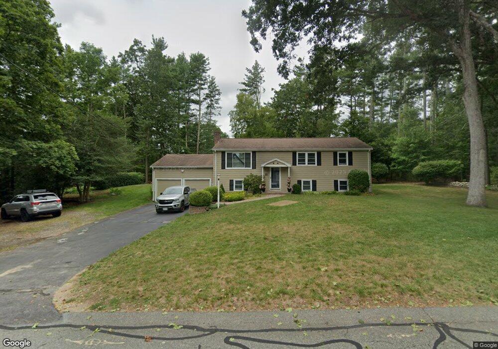
55 Curtis Rd Hanover, MA 02339
Estimated Value: $726,000 - $811,000
3
Beds
2
Baths
1,104
Sq Ft
$692/Sq Ft
Est. Value
About This Home
This home is located at 55 Curtis Rd, Hanover, MA 02339 and is currently estimated at $763,520, approximately $691 per square foot. 55 Curtis Rd is a home located in Plymouth County with nearby schools including Hanover High School, Norwell KinderCare, and Cadence Academy Preschool - Hanover.
Ownership History
Date
Name
Owned For
Owner Type
Purchase Details
Closed on
Mar 18, 1997
Sold by
Smith Edith M
Bought by
Long Michael and Long Jean M
Current Estimated Value
Create a Home Valuation Report for This Property
The Home Valuation Report is an in-depth analysis detailing your home's value as well as a comparison with similar homes in the area
Home Values in the Area
Average Home Value in this Area
Purchase History
| Date | Buyer | Sale Price | Title Company |
|---|---|---|---|
| Long Michael | $176,000 | -- |
Source: Public Records
Mortgage History
| Date | Status | Borrower | Loan Amount |
|---|---|---|---|
| Open | Long Michael | $178,000 | |
| Closed | Long Michael | $50,000 | |
| Closed | Long Michael | $165,000 | |
| Closed | Long Michael | $166,000 |
Source: Public Records
Tax History Compared to Growth
Tax History
| Year | Tax Paid | Tax Assessment Tax Assessment Total Assessment is a certain percentage of the fair market value that is determined by local assessors to be the total taxable value of land and additions on the property. | Land | Improvement |
|---|---|---|---|---|
| 2025 | $7,164 | $580,100 | $269,600 | $310,500 |
| 2024 | $7,167 | $558,200 | $269,600 | $288,600 |
| 2023 | $7,005 | $519,300 | $245,100 | $274,200 |
| 2022 | $7,221 | $473,500 | $245,100 | $228,400 |
| 2021 | $7,099 | $434,700 | $222,800 | $211,900 |
| 2020 | $7,030 | $431,000 | $222,800 | $208,200 |
| 2019 | $6,592 | $401,700 | $222,800 | $178,900 |
| 2018 | $8,798 | $398,000 | $222,800 | $175,200 |
| 2017 | $6,228 | $377,000 | $210,000 | $167,000 |
| 2016 | $6,036 | $358,000 | $191,000 | $167,000 |
| 2015 | $5,275 | $326,600 | $191,000 | $135,600 |
Source: Public Records
Map
Nearby Homes
- 53 Chestnut St
- 276 Woodland Dr
- 70 Dillingham Way
- 375 Webster St
- 114 Main St
- 7 Assinippi Ave Unit 306
- 62 Larchmont Ln
- 118 Bates Way
- 1239 Main St
- 265 Silver St
- 80 Coolidge Rd
- 14 Longwood Ln Unit 14
- 348 Main St
- 225 Prospect St
- 107 Wildcat Ln
- 116 Spring Meadow Ln
- 8 Old Farm Rd
- 214 Washington St Unit 24
- 214 Washington St Unit 28
- 216 Whiting St