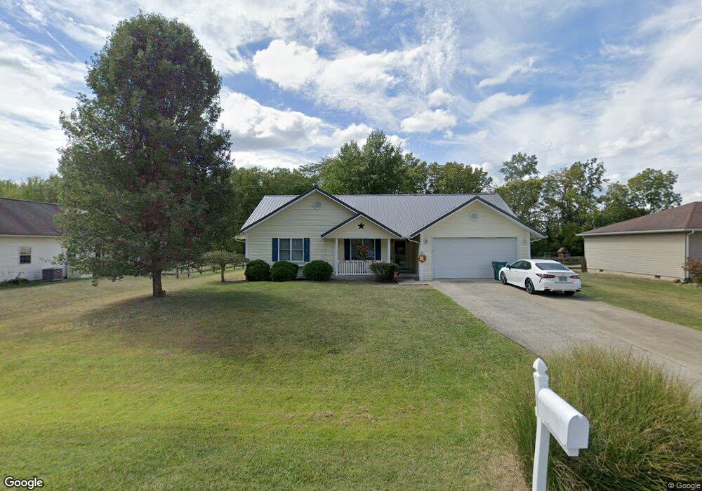
55 Depot Cir Georgetown, OH 45121
Estimated Value: $255,323 - $287,000
3
Beds
3
Baths
1,640
Sq Ft
$166/Sq Ft
Est. Value
About This Home
This home is located at 55 Depot Cir, Georgetown, OH 45121 and is currently estimated at $271,831, approximately $165 per square foot. 55 Depot Cir is a home located in Brown County with nearby schools including Georgetown Elementary School and Georgetown Jr/Sr High School.
Ownership History
Date
Name
Owned For
Owner Type
Purchase Details
Closed on
Dec 3, 2012
Sold by
Wood Aaron K and Wood Tiffany R
Bought by
Mountain James R and Mountain Brittany J
Current Estimated Value
Home Financials for this Owner
Home Financials are based on the most recent Mortgage that was taken out on this home.
Original Mortgage
$132,554
Outstanding Balance
$91,318
Interest Rate
3.25%
Mortgage Type
FHA
Estimated Equity
$180,513
Purchase Details
Closed on
Nov 10, 2010
Sold by
Bertram Alexander Clay and Bertram Heather
Bought by
Wood Aaron K and Wood Tiffany R
Home Financials for this Owner
Home Financials are based on the most recent Mortgage that was taken out on this home.
Original Mortgage
$114,500
Interest Rate
4.37%
Mortgage Type
New Conventional
Purchase Details
Closed on
Feb 13, 2008
Sold by
White Everett and White Mary
Bought by
Bertram Alexander Clay and Bertram Heather
Home Financials for this Owner
Home Financials are based on the most recent Mortgage that was taken out on this home.
Original Mortgage
$41,000
Interest Rate
5.75%
Mortgage Type
Stand Alone Second
Purchase Details
Closed on
Apr 30, 2005
Sold by
Bird Ben and Bird Amie
Bought by
Bertram Alexander Clay and Bertram Heather
Home Financials for this Owner
Home Financials are based on the most recent Mortgage that was taken out on this home.
Original Mortgage
$110,000
Interest Rate
6.05%
Mortgage Type
Fannie Mae Freddie Mac
Create a Home Valuation Report for This Property
The Home Valuation Report is an in-depth analysis detailing your home's value as well as a comparison with similar homes in the area
Home Values in the Area
Average Home Value in this Area
Purchase History
| Date | Buyer | Sale Price | Title Company |
|---|---|---|---|
| Mountain James R | $135,000 | None Available | |
| Wood Aaron K | $127,500 | Attorney | |
| Bertram Alexander Clay | $40,000 | Attorney | |
| Bertram Alexander Clay | $132,650 | -- |
Source: Public Records
Mortgage History
| Date | Status | Borrower | Loan Amount |
|---|---|---|---|
| Open | Mountain James R | $132,554 | |
| Closed | Wood Aaron K | $114,500 | |
| Previous Owner | Bertram Alexander Clay | $41,000 | |
| Previous Owner | Bertram Alexander Clay | $110,000 |
Source: Public Records
Tax History Compared to Growth
Tax History
| Year | Tax Paid | Tax Assessment Tax Assessment Total Assessment is a certain percentage of the fair market value that is determined by local assessors to be the total taxable value of land and additions on the property. | Land | Improvement |
|---|---|---|---|---|
| 2024 | $2,456 | $69,320 | $6,410 | $62,910 |
| 2023 | $2,456 | $54,600 | $5,540 | $49,060 |
| 2022 | $2,106 | $54,600 | $5,540 | $49,060 |
| 2021 | $2,086 | $54,600 | $5,540 | $49,060 |
| 2020 | $1,846 | $45,500 | $4,620 | $40,880 |
| 2019 | $1,833 | $45,500 | $4,620 | $40,880 |
| 2018 | $1,820 | $45,500 | $4,620 | $40,880 |
| 2017 | $1,367 | $40,570 | $5,080 | $35,490 |
| 2016 | $1,367 | $40,570 | $5,080 | $35,490 |
| 2015 | $1,426 | $40,570 | $5,080 | $35,490 |
| 2014 | $1,426 | $40,110 | $4,620 | $35,490 |
| 2013 | $1,422 | $40,110 | $4,620 | $35,490 |
Source: Public Records
Map
Nearby Homes
- 874 Mount Orab Pike
- 143 Hamer Rd
- 2 N Kenwood Ave
- 1 N Kenwood Ave
- 427 Kenwood Ave
- 331 Spring Grove Dr
- 508 Mount Orab Pike
- 403 Elmwood Ct
- 399 Elmwood Ct
- 401 Elmwood Ct
- 60 New St
- 406 E North St
- 405 N Main St
- 102 Bill Dee Dr
- 306 W 2nd St
- 666 E State St
- 402 S Pleasant St
- 505 S Water St
- 708 E State St
- 418 Home St