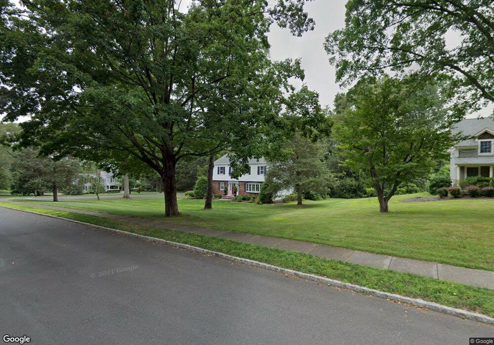
55 Dryden Rd Basking Ridge, NJ 07920
Estimated Value: $1,040,000 - $1,297,000
--
Bed
--
Bath
2,300
Sq Ft
$496/Sq Ft
Est. Value
About This Home
This home is located at 55 Dryden Rd, Basking Ridge, NJ 07920 and is currently estimated at $1,141,410, approximately $496 per square foot. 55 Dryden Rd is a home located in Somerset County with nearby schools including Cedar Hill Elementary School, William Annin Middle School, and Ridge High School.
Ownership History
Date
Name
Owned For
Owner Type
Purchase Details
Closed on
Oct 18, 2006
Sold by
Johnson Eric M and Franciotti Judith A
Bought by
Portas Stephen J and Portas Julie C
Current Estimated Value
Home Financials for this Owner
Home Financials are based on the most recent Mortgage that was taken out on this home.
Original Mortgage
$584,800
Interest Rate
6.18%
Mortgage Type
Purchase Money Mortgage
Purchase Details
Closed on
Aug 26, 1993
Sold by
Sullivan Marie
Bought by
Johnson Eric and Franciotti Judith
Home Financials for this Owner
Home Financials are based on the most recent Mortgage that was taken out on this home.
Original Mortgage
$287,000
Interest Rate
7%
Create a Home Valuation Report for This Property
The Home Valuation Report is an in-depth analysis detailing your home's value as well as a comparison with similar homes in the area
Home Values in the Area
Average Home Value in this Area
Purchase History
| Date | Buyer | Sale Price | Title Company |
|---|---|---|---|
| Portas Stephen J | $731,000 | United General Title Ins Co | |
| Johnson Eric | $359,000 | -- |
Source: Public Records
Mortgage History
| Date | Status | Borrower | Loan Amount |
|---|---|---|---|
| Previous Owner | Portas Stephen J | $584,800 | |
| Previous Owner | Johnson Eric | $287,000 |
Source: Public Records
Tax History Compared to Growth
Tax History
| Year | Tax Paid | Tax Assessment Tax Assessment Total Assessment is a certain percentage of the fair market value that is determined by local assessors to be the total taxable value of land and additions on the property. | Land | Improvement |
|---|---|---|---|---|
| 2025 | $15,892 | $975,300 | $418,600 | $556,700 |
| 2024 | $15,892 | $893,300 | $378,600 | $514,700 |
| 2023 | $15,014 | $796,100 | $378,600 | $417,500 |
| 2022 | $15,489 | $770,200 | $378,600 | $391,600 |
| 2021 | $15,186 | $719,700 | $368,600 | $351,100 |
| 2020 | $14,939 | $713,400 | $368,600 | $344,800 |
| 2019 | $14,305 | $703,300 | $377,900 | $325,400 |
| 2018 | $14,195 | $708,000 | $382,600 | $325,400 |
| 2017 | $14,283 | $718,100 | $387,600 | $330,500 |
| 2016 | $13,552 | $694,600 | $387,600 | $307,000 |
| 2015 | $12,971 | $677,000 | $387,600 | $289,400 |
| 2014 | $12,985 | $671,400 | $387,600 | $283,800 |
Source: Public Records
Map
Nearby Homes
- 44 Manor Dr
- 247 Lyons Rd
- 135 Woods End Dr
- 12 Tamarisk Ct
- 7 Chestnut Ct
- 23 Hampton Ct
- 49 Alexandria Way Unit 5
- 280 Alexandria Way
- 209 Lake Rd
- 227 Arrowood Way
- 2305 Privet Way
- 138 Alexandria Way Condo Unit 138
- 71 Alexandria Way Unit 3
- 374 S Maple Ave
- 21 Alexandria Way
- 242 Alexandria Way
- 41 Smithfield Ct Unit 5
- 12 Wayne Terrace
- 1 Potomac Dr Condo
- 168 Potomac Dr Condo Unit 168