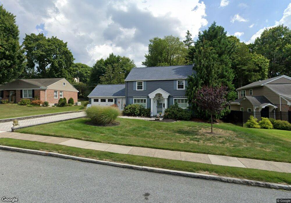
55 Duncan Ln Springfield, PA 19064
Estimated Value: $512,946 - $516,000
3
Beds
3
Baths
1,662
Sq Ft
$309/Sq Ft
Est. Value
About This Home
This home is located at 55 Duncan Ln, Springfield, PA 19064 and is currently estimated at $513,737, approximately $309 per square foot. 55 Duncan Ln is a home located in Delaware County with nearby schools including Springfield High School, St Francis Of Assisi School, and Holy Cross School.
Ownership History
Date
Name
Owned For
Owner Type
Purchase Details
Closed on
Apr 25, 2012
Sold by
Destefano Deborah and Destefano Louis T
Bought by
Destefano Louis and Destefano Deborah A
Current Estimated Value
Home Financials for this Owner
Home Financials are based on the most recent Mortgage that was taken out on this home.
Original Mortgage
$316,600
Outstanding Balance
$43,410
Interest Rate
3.31%
Mortgage Type
FHA
Estimated Equity
$470,327
Purchase Details
Closed on
Apr 8, 2005
Sold by
Bosworth Lora D and Gillespie Alice L
Bought by
Destefano Deborah and Destefano Louis T
Home Financials for this Owner
Home Financials are based on the most recent Mortgage that was taken out on this home.
Original Mortgage
$239,900
Interest Rate
5.95%
Mortgage Type
Fannie Mae Freddie Mac
Create a Home Valuation Report for This Property
The Home Valuation Report is an in-depth analysis detailing your home's value as well as a comparison with similar homes in the area
Home Values in the Area
Average Home Value in this Area
Purchase History
| Date | Buyer | Sale Price | Title Company |
|---|---|---|---|
| Destefano Louis | -- | Entitle Direct | |
| Destefano Deborah | $299,900 | Pa Nj Abstract & Land Transf |
Source: Public Records
Mortgage History
| Date | Status | Borrower | Loan Amount |
|---|---|---|---|
| Open | Destefano Louis | $316,600 | |
| Previous Owner | Destefano Deborah | $239,900 |
Source: Public Records
Tax History Compared to Growth
Tax History
| Year | Tax Paid | Tax Assessment Tax Assessment Total Assessment is a certain percentage of the fair market value that is determined by local assessors to be the total taxable value of land and additions on the property. | Land | Improvement |
|---|---|---|---|---|
| 2025 | $8,531 | $303,530 | $97,440 | $206,090 |
| 2024 | $8,531 | $303,530 | $97,440 | $206,090 |
| 2023 | $8,215 | $303,530 | $97,440 | $206,090 |
| 2022 | $8,037 | $303,530 | $97,440 | $206,090 |
| 2021 | $12,447 | $303,530 | $97,440 | $206,090 |
| 2020 | $6,781 | $149,640 | $46,840 | $102,800 |
| 2019 | $6,622 | $149,640 | $46,840 | $102,800 |
| 2018 | $6,527 | $149,640 | $0 | $0 |
| 2017 | $6,376 | $149,640 | $0 | $0 |
| 2016 | $821 | $149,640 | $0 | $0 |
| 2015 | $821 | $149,640 | $0 | $0 |
| 2014 | $821 | $149,640 | $0 | $0 |
Source: Public Records
Map
Nearby Homes
- 517 W Woodland Ave
- 232 S Highland Rd
- 201 S Highland Rd
- 341 Kennerly Rd
- 247 Orchard Rd
- 457 Kennerly Rd
- 89 Saxer Ave
- 15 Pearson Dr
- 200 N State Rd
- 364 S Rolling Rd
- 506 Flora Cir
- 165 Summit Rd
- 326 Powell Rd
- 251 Powell Rd
- 214 Lynbrooke Rd
- 499 Collins Dr
- 464 Conard Dr
- 225 Lynbrooke Rd
- 30 Wayne Ave
- 140 N Rolling Rd