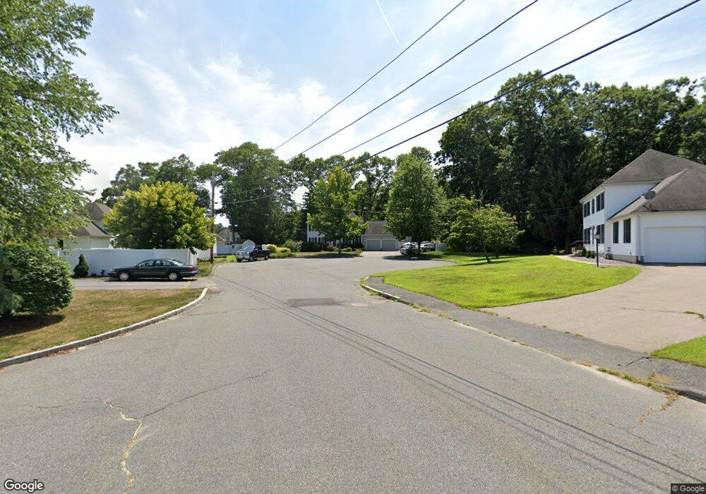
55 Emerald Ln Attleboro, MA 02703
Estimated Value: $670,000 - $732,000
3
Beds
3
Baths
1,728
Sq Ft
$410/Sq Ft
Est. Value
About This Home
This home is located at 55 Emerald Ln, Attleboro, MA 02703 and is currently estimated at $708,184, approximately $409 per square foot. 55 Emerald Ln is a home located in Bristol County with nearby schools including Hill-Roberts Elementary School, Robert J. Coelho Middle School, and Attleboro High School.
Ownership History
Date
Name
Owned For
Owner Type
Purchase Details
Closed on
Aug 30, 1999
Sold by
J Colella & Son Inc
Bought by
Webster John B and Webster Karen M
Current Estimated Value
Create a Home Valuation Report for This Property
The Home Valuation Report is an in-depth analysis detailing your home's value as well as a comparison with similar homes in the area
Home Values in the Area
Average Home Value in this Area
Purchase History
| Date | Buyer | Sale Price | Title Company |
|---|---|---|---|
| Webster John B | $167,000 | -- |
Source: Public Records
Mortgage History
| Date | Status | Borrower | Loan Amount |
|---|---|---|---|
| Open | Webster John B | $277,000 | |
| Closed | Webster John B | $260,000 | |
| Closed | Webster John B | $46,000 |
Source: Public Records
Tax History Compared to Growth
Tax History
| Year | Tax Paid | Tax Assessment Tax Assessment Total Assessment is a certain percentage of the fair market value that is determined by local assessors to be the total taxable value of land and additions on the property. | Land | Improvement |
|---|---|---|---|---|
| 2025 | $7,565 | $602,800 | $187,100 | $415,700 |
| 2024 | $7,625 | $599,000 | $205,800 | $393,200 |
| 2023 | $6,904 | $504,300 | $180,500 | $323,800 |
| 2022 | $6,461 | $447,100 | $159,500 | $287,600 |
| 2021 | $6,437 | $434,900 | $153,600 | $281,300 |
| 2020 | $6,124 | $420,600 | $145,700 | $274,900 |
| 2019 | $5,957 | $420,700 | $142,800 | $277,900 |
| 2018 | $5,781 | $390,100 | $138,700 | $251,400 |
| 2017 | $5,760 | $395,900 | $144,300 | $251,600 |
| 2016 | $5,578 | $376,400 | $134,700 | $241,700 |
| 2015 | $5,425 | $368,800 | $134,700 | $234,100 |
| 2014 | $5,361 | $361,000 | $129,700 | $231,300 |
Source: Public Records
Map
Nearby Homes
- 0 Mendon Rd
- 48 May St
- 543 Newport Ave
- 23 Cumberland Ave
- 135 Cumberland Ave
- 17 Lockwood Ave
- 1 Frederick a Nittel Dr
- 96 Robinson Ave
- 130 Zoar Ave
- 30 Thomas Ave
- 59 Samuel Way
- 44 Buffington St
- 39 Slade Ave
- 143 Carrier Ave
- 31 Carleton St
- 276 Newport Ave
- 193 Robinson Ave
- 73 Vineyard Ave
- 0 Middle St
- 7 Queens Rd
