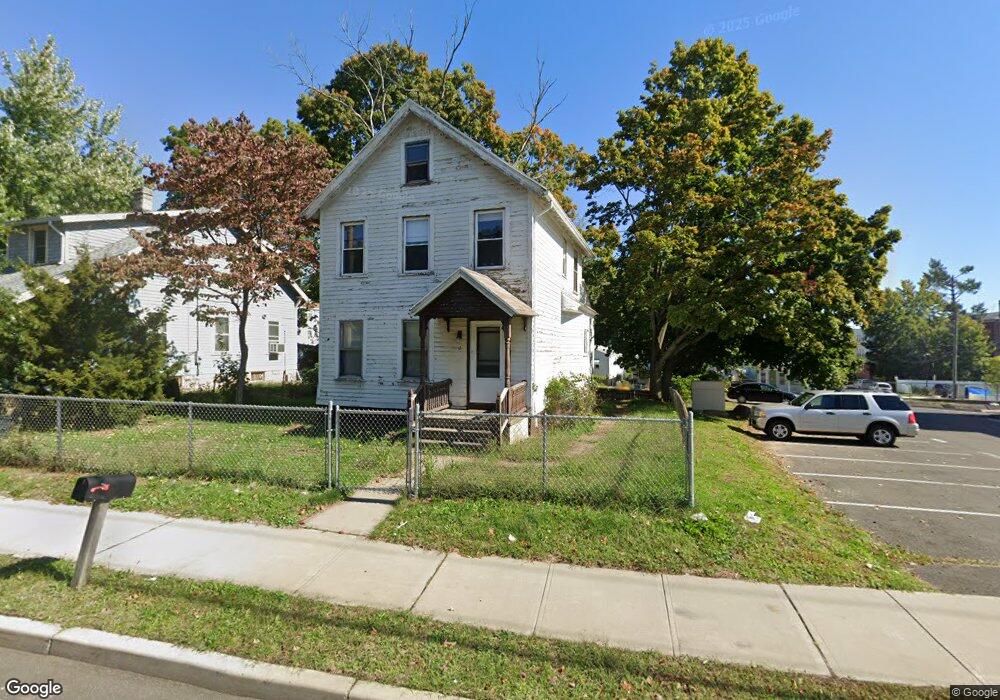
55 Forest Rd West Haven, CT 06516
Allingtown NeighborhoodEstimated Value: $265,130 - $322,000
3
Beds
2
Baths
1,220
Sq Ft
$242/Sq Ft
Est. Value
About This Home
This home is located at 55 Forest Rd, West Haven, CT 06516 and is currently estimated at $295,783, approximately $242 per square foot. 55 Forest Rd is a home located in New Haven County with nearby schools including Carrigan 5/6 Intermediate School, Harry M. Bailey Middle School, and West Haven High School.
Ownership History
Date
Name
Owned For
Owner Type
Purchase Details
Closed on
Nov 17, 2025
Sold by
University Of New Haven I
Bought by
University Of New Haven I
Current Estimated Value
Purchase Details
Closed on
Nov 11, 2024
Sold by
55 Forest Llc
Bought by
University Of New Haven I
Purchase Details
Closed on
Jun 1, 2021
Sold by
Spagone Raymonde and Spagone Frances
Bought by
55 Forest Llc
Purchase Details
Closed on
Oct 6, 1994
Sold by
Mento Mary
Bought by
Spagone Raymond E and Spagone Frances
Home Financials for this Owner
Home Financials are based on the most recent Mortgage that was taken out on this home.
Original Mortgage
$68,700
Interest Rate
8.55%
Mortgage Type
Purchase Money Mortgage
Create a Home Valuation Report for This Property
The Home Valuation Report is an in-depth analysis detailing your home's value as well as a comparison with similar homes in the area
Home Values in the Area
Average Home Value in this Area
Purchase History
| Date | Buyer | Sale Price | Title Company |
|---|---|---|---|
| University Of New Haven I | -- | -- | |
| University Of New Haven I | -- | None Available | |
| University Of New Haven I | -- | None Available | |
| 55 Forest Llc | $176,000 | None Available | |
| 55 Forest Llc | $176,000 | None Available | |
| Spagone Raymond E | $69,000 | -- | |
| Spagone Raymond E | $69,000 | -- |
Source: Public Records
Mortgage History
| Date | Status | Borrower | Loan Amount |
|---|---|---|---|
| Previous Owner | Spagone Raymond E | $105,750 | |
| Previous Owner | Spagone Raymond E | $68,700 |
Source: Public Records
Tax History
| Year | Tax Paid | Tax Assessment Tax Assessment Total Assessment is a certain percentage of the fair market value that is determined by local assessors to be the total taxable value of land and additions on the property. | Land | Improvement |
|---|---|---|---|---|
| 2025 | $5,407 | $158,970 | $61,740 | $97,230 |
| 2024 | $4,851 | $101,290 | $42,770 | $58,520 |
| 2023 | $4,702 | $101,290 | $42,770 | $58,520 |
| 2022 | $4,620 | $101,290 | $42,770 | $58,520 |
| 2021 | $4,621 | $101,290 | $42,770 | $58,520 |
| 2020 | $4,449 | $86,380 | $34,650 | $51,730 |
| 2019 | $4,379 | $86,380 | $34,650 | $51,730 |
| 2018 | $4,260 | $86,380 | $34,650 | $51,730 |
| 2017 | $4,127 | $86,380 | $34,650 | $51,730 |
| 2016 | $4,002 | $86,380 | $34,650 | $51,730 |
| 2015 | $3,919 | $96,320 | $37,870 | $58,450 |
| 2014 | $3,841 | $96,320 | $37,870 | $58,450 |
Source: Public Records
Map
Nearby Homes
Your Personal Tour Guide
Ask me questions while you tour the home.