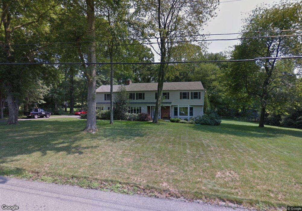
55 Gate Ridge Rd Easton, CT 06612
Estimated Value: $903,000 - $1,165,000
4
Beds
4
Baths
3,364
Sq Ft
$319/Sq Ft
Est. Value
About This Home
This home is located at 55 Gate Ridge Rd, Easton, CT 06612 and is currently estimated at $1,074,156, approximately $319 per square foot. 55 Gate Ridge Rd is a home located in Fairfield County with nearby schools including Samuel Staples Elementary School, Helen Keller Middle School, and Joel Barlow High School.
Ownership History
Date
Name
Owned For
Owner Type
Purchase Details
Closed on
Jun 10, 1999
Sold by
Cumpelik Joseph W and Cumpelik Mary R
Bought by
Lessler Robert H and Pearlman Debra L
Current Estimated Value
Home Financials for this Owner
Home Financials are based on the most recent Mortgage that was taken out on this home.
Original Mortgage
$330,000
Interest Rate
6.9%
Create a Home Valuation Report for This Property
The Home Valuation Report is an in-depth analysis detailing your home's value as well as a comparison with similar homes in the area
Home Values in the Area
Average Home Value in this Area
Purchase History
| Date | Buyer | Sale Price | Title Company |
|---|---|---|---|
| Lessler Robert H | $510,000 | -- | |
| Lessler Robert H | $510,000 | -- |
Source: Public Records
Mortgage History
| Date | Status | Borrower | Loan Amount |
|---|---|---|---|
| Open | Lessler Robert H | $320,000 | |
| Closed | Lessler Robert H | $300,700 | |
| Closed | Lessler Robert H | $330,000 |
Source: Public Records
Tax History Compared to Growth
Tax History
| Year | Tax Paid | Tax Assessment Tax Assessment Total Assessment is a certain percentage of the fair market value that is determined by local assessors to be the total taxable value of land and additions on the property. | Land | Improvement |
|---|---|---|---|---|
| 2025 | $15,318 | $494,130 | $193,270 | $300,860 |
| 2024 | $14,597 | $494,130 | $193,270 | $300,860 |
| 2023 | $14,310 | $494,130 | $193,270 | $300,860 |
| 2022 | $14,053 | $494,130 | $193,270 | $300,860 |
| 2021 | $13,377 | $413,520 | $189,810 | $223,710 |
| 2020 | $12,819 | $413,520 | $189,810 | $223,710 |
| 2019 | $12,956 | $413,520 | $189,810 | $223,710 |
| 2018 | $12,976 | $413,520 | $189,810 | $223,710 |
| 2017 | $13,803 | $413,520 | $189,810 | $223,710 |
| 2016 | $11,867 | $385,160 | $193,270 | $191,890 |
| 2015 | $11,701 | $385,160 | $193,270 | $191,890 |
| 2014 | $11,516 | $385,160 | $193,270 | $191,890 |
Source: Public Records
Map
Nearby Homes
- 35 Sturbridge Rd
- 305 Sport Hill Rd
- 63 Flat Rock Dr
- 20 Ground Pine Ln
- 48 Sunset Rd
- 43 Hall Rd
- 73 Buck Hill Rd
- 83 Buck Hill Rd
- 32 Adirondack Trail
- 340 Morehouse Rd
- 26 Wendy Rd
- 159 Blue Bell Ln
- 56 Waller Rd
- 4482 Madison Ave
- 301 Weeping Willow Ln
- 4459 Madison Ave
- 9 W Wind Rd
- lot 194 Prospect Ave
- 11 Prospect Ave
- 550 Rolling Hills Dr
- 49 Gate Ridge Rd
- 65 Gate Ridge Rd
- 55 Morningside Dr
- 64 High Ridge Rd
- 54 Gate Ridge Rd
- 44 Gate Ridge Rd
- 60 Gate Ridge Rd
- 39 Gate Ridge Rd
- 15 Virginia Dr
- 73 Gate Ridge Rd
- 11 Eastwood Ln
- 29 Austin Drive Extension
- 14 Eastwood Ln
- 19 Austin Drive Extension
- 50 Morningside Dr
- 17 Virginia Dr
- 81 Gate Ridge Rd
- 56 High Ridge Rd
- 14 Crescent Dr
- 31 Virginia Dr