55 Gentry Dr N Newnan, GA 30263
Estimated Value: $433,000 - $663,000
3
Beds
2
Baths
2,299
Sq Ft
$251/Sq Ft
Est. Value
About This Home
This home is located at 55 Gentry Dr N, Newnan, GA 30263 and is currently estimated at $576,621, approximately $250 per square foot. 55 Gentry Dr N is a home with nearby schools including Atkinson Elementary School, Smokey Road Middle School, and Newnan High School.
Ownership History
Date
Name
Owned For
Owner Type
Purchase Details
Closed on
Apr 12, 2013
Sold by
Knox John T
Bought by
Dennis Lance C
Current Estimated Value
Purchase Details
Closed on
Aug 20, 2001
Sold by
Knox John T
Bought by
Dennis Lance C
Home Financials for this Owner
Home Financials are based on the most recent Mortgage that was taken out on this home.
Original Mortgage
$222,415
Interest Rate
7.18%
Mortgage Type
New Conventional
Purchase Details
Closed on
Jul 26, 2000
Sold by
Glover Donald and Gentry Oliver A
Bought by
Knox John T
Purchase Details
Closed on
Jan 1, 2000
Bought by
Gentry J P
Create a Home Valuation Report for This Property
The Home Valuation Report is an in-depth analysis detailing your home's value as well as a comparison with similar homes in the area
Home Values in the Area
Average Home Value in this Area
Purchase History
| Date | Buyer | Sale Price | Title Company |
|---|---|---|---|
| Dennis Lance C | -- | -- | |
| Dennis Lance C | $66,000 | -- | |
| Knox John T | $1,464,600 | -- | |
| Gentry J P | -- | -- |
Source: Public Records
Mortgage History
| Date | Status | Borrower | Loan Amount |
|---|---|---|---|
| Previous Owner | Dennis Lance C | $222,415 |
Source: Public Records
Tax History Compared to Growth
Tax History
| Year | Tax Paid | Tax Assessment Tax Assessment Total Assessment is a certain percentage of the fair market value that is determined by local assessors to be the total taxable value of land and additions on the property. | Land | Improvement |
|---|---|---|---|---|
| 2024 | $3,645 | $193,830 | $43,152 | $150,678 |
| 2023 | $3,645 | $163,612 | $41,492 | $122,120 |
| 2022 | $2,986 | $155,334 | $39,516 | $115,818 |
| 2021 | $2,899 | $144,268 | $39,516 | $104,752 |
| 2020 | $2,915 | $144,268 | $39,516 | $104,752 |
| 2019 | $2,028 | $71,405 | $5,905 | $65,500 |
| 2018 | $2,030 | $71,405 | $5,905 | $65,500 |
| 2017 | $1,854 | $97,977 | $32,477 | $65,500 |
| 2016 | $1,832 | $97,977 | $32,477 | $65,500 |
| 2015 | $1,801 | $97,977 | $32,477 | $65,500 |
| 2014 | $1,953 | $97,977 | $32,477 | $65,500 |
Source: Public Records
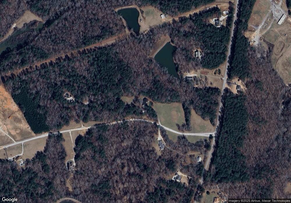
Map
Nearby Homes
- 831 Holbrook Rd
- 150 Wild Boar Way
- 15 Forest Place
- 130 Mallard Dr
- 140 Beverly Park Ct
- 56 Fox Hollow Run
- 1845 Smokey Rd
- 0 George Arnold Rd Unit 7657652
- 0 George Arnold Rd Unit 10617612
- 1967 Corinth Rd
- 135 Widgeon Dr
- 23 Corn Crib Ct
- 46 Brandish Dr
- 68 Timberland Trail
- 23 Corn Crib Dr
- 164 I Walker Brooks Rd
- 110 Corn Row Ct
- 713 Smokey Rd
- 2403 W Grantville Rd
- 31 Festiva Dr
- 50 Gentry Dr S
- 1397 Old Corinth Rd
- 1373 Old Corinth Rd
- 155 Gentry Dr N
- 1511 Old Corinth Rd
- 1400 Old Corinth Rd
- 170 Gentry Dr S
- 1317 Old Corinth Rd
- 1297 Old Corinth Rd
- 1538 Old Corinth Rd
- 1267 Old Corinth Rd
- 220 Gentry Dr S
- 1550 Old Corinth Rd
- 215 Gentry Dr N
- 0 Gentry Dr N Unit 3210264
- 0 Gentry Dr N Unit 7413826
- 0 Gentry Dr N
- 1263 Old Corinth Rd
- 1604 Old Corinth Rd
- 240 Gentry Dr S