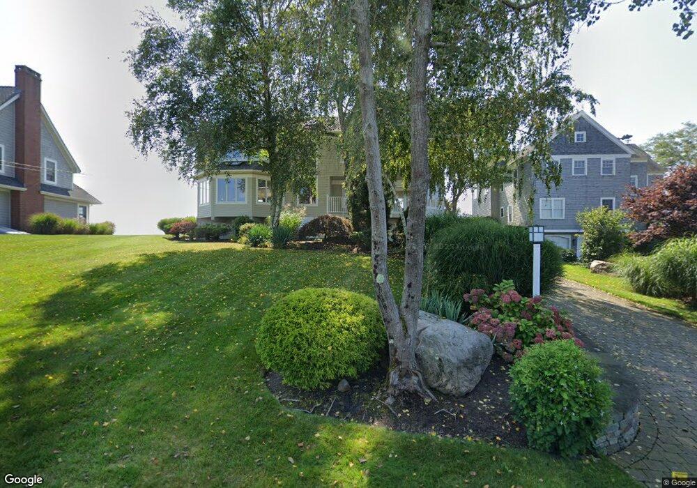
55 Hammock Rd Clinton, CT 06413
Estimated Value: $1,287,000 - $2,195,000
3
Beds
3
Baths
2,617
Sq Ft
$715/Sq Ft
Est. Value
About This Home
This home is located at 55 Hammock Rd, Clinton, CT 06413 and is currently estimated at $1,870,109, approximately $714 per square foot. 55 Hammock Rd is a home located in Middlesex County with nearby schools including Lewin G. Joel Jr. School and The Morgan School.
Ownership History
Date
Name
Owned For
Owner Type
Purchase Details
Closed on
Jan 31, 2011
Sold by
Siegal Howard
Bought by
Siegal Lois
Current Estimated Value
Home Financials for this Owner
Home Financials are based on the most recent Mortgage that was taken out on this home.
Original Mortgage
$385,000
Outstanding Balance
$11,461
Interest Rate
4.22%
Estimated Equity
$1,858,648
Purchase Details
Closed on
Jul 12, 1993
Sold by
Roy Edna
Bought by
Siegal Howard J
Purchase Details
Closed on
Jun 23, 1989
Sold by
Roy Edna
Bought by
Kovacs Karen M
Create a Home Valuation Report for This Property
The Home Valuation Report is an in-depth analysis detailing your home's value as well as a comparison with similar homes in the area
Home Values in the Area
Average Home Value in this Area
Purchase History
| Date | Buyer | Sale Price | Title Company |
|---|---|---|---|
| Siegal Lois | -- | -- | |
| Siegal Lois | -- | -- | |
| Siegal Howard J | $575,000 | -- | |
| Siegal Howard J | $575,000 | -- | |
| Kovacs Karen M | $885,000 | -- |
Source: Public Records
Mortgage History
| Date | Status | Borrower | Loan Amount |
|---|---|---|---|
| Open | Kovacs Karen M | $385,000 | |
| Closed | Kovacs Karen M | $385,000 |
Source: Public Records
Tax History
| Year | Tax Paid | Tax Assessment Tax Assessment Total Assessment is a certain percentage of the fair market value that is determined by local assessors to be the total taxable value of land and additions on the property. | Land | Improvement |
|---|---|---|---|---|
| 2025 | $24,083 | $773,388 | $530,988 | $242,400 |
| 2024 | $23,403 | $773,388 | $530,988 | $242,400 |
| 2023 | $23,070 | $773,388 | $530,988 | $242,400 |
| 2022 | $23,070 | $773,388 | $530,988 | $242,400 |
| 2021 | $27,679 | $927,900 | $680,900 | $247,000 |
| 2020 | $28,997 | $927,900 | $680,900 | $247,000 |
| 2019 | $28,997 | $927,900 | $680,900 | $247,000 |
| 2018 | $28,338 | $927,900 | $680,900 | $247,000 |
| 2017 | $27,753 | $927,900 | $680,900 | $247,000 |
| 2016 | $25,183 | $927,900 | $680,900 | $247,000 |
| 2015 | $24,746 | $924,400 | $669,300 | $255,100 |
| 2014 | $24,284 | $924,400 | $669,300 | $255,100 |
Source: Public Records
Map
Nearby Homes
- 9 Loop Rd
- 49 + 51 Uncas Rd
- 75 Shore Rd
- 24 Indian Dr
- 192 E Main St
- 0 E Main St
- 144 Shore Rd
- 144 E Main St Unit 5
- 13 Waterside Ln
- 39 Founders Village Unit 39
- 153 E Main St Unit 10
- 153 E Main St Unit 13
- 153 E Main St Unit 31
- 153 E Main St Unit 8
- 153 E Main St Unit 9
- 153 E Main St Unit 6
- 153 E Main St Unit 7
- 153 E Main St Unit 11
- 153 E Main St Unit 32
- 153 E Main St Unit 5
Your Personal Tour Guide
Ask me questions while you tour the home.