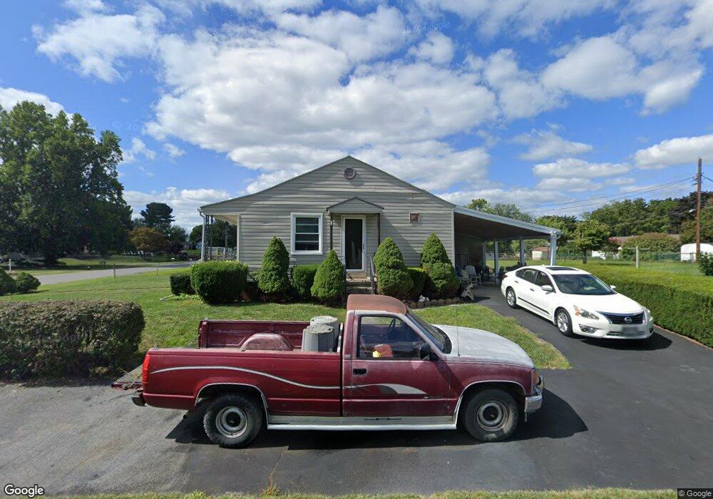
55 Harvard Rd Hagerstown, MD 21742
South End NeighborhoodEstimated Value: $254,741 - $296,000
--
Bed
1
Bath
968
Sq Ft
$285/Sq Ft
Est. Value
About This Home
This home is located at 55 Harvard Rd, Hagerstown, MD 21742 and is currently estimated at $275,935, approximately $285 per square foot. 55 Harvard Rd is a home located in Washington County with nearby schools including Ruth Ann Monroe Primary School, Eastern Elementary School, and E. Russell Hicks Middle School.
Ownership History
Date
Name
Owned For
Owner Type
Purchase Details
Closed on
Jun 4, 1997
Sold by
Bazzell Kerrie H
Bought by
Armstrong Timothy S
Current Estimated Value
Purchase Details
Closed on
Sep 29, 1994
Sold by
Hockersmith M J
Bought by
Bazzell Kerrie H
Home Financials for this Owner
Home Financials are based on the most recent Mortgage that was taken out on this home.
Original Mortgage
$91,650
Interest Rate
8.5%
Create a Home Valuation Report for This Property
The Home Valuation Report is an in-depth analysis detailing your home's value as well as a comparison with similar homes in the area
Home Values in the Area
Average Home Value in this Area
Purchase History
| Date | Buyer | Sale Price | Title Company |
|---|---|---|---|
| Armstrong Timothy S | $92,000 | -- | |
| Bazzell Kerrie H | $89,900 | -- |
Source: Public Records
Mortgage History
| Date | Status | Borrower | Loan Amount |
|---|---|---|---|
| Previous Owner | Bazzell Kerrie H | $91,650 | |
| Closed | Armstrong Timothy S | -- |
Source: Public Records
Tax History Compared to Growth
Tax History
| Year | Tax Paid | Tax Assessment Tax Assessment Total Assessment is a certain percentage of the fair market value that is determined by local assessors to be the total taxable value of land and additions on the property. | Land | Improvement |
|---|---|---|---|---|
| 2025 | $1,608 | $178,333 | $0 | $0 |
| 2024 | $1,608 | $155,900 | $62,400 | $93,500 |
| 2023 | $1,532 | $148,633 | $0 | $0 |
| 2022 | $1,458 | $141,367 | $0 | $0 |
| 2021 | $1,381 | $134,100 | $62,400 | $71,700 |
| 2020 | $1,381 | $130,833 | $0 | $0 |
| 2019 | $1,352 | $127,567 | $0 | $0 |
| 2018 | $1,318 | $124,300 | $62,400 | $61,900 |
| 2017 | $1,295 | $122,200 | $0 | $0 |
| 2016 | -- | $120,100 | $0 | $0 |
| 2015 | $1,323 | $118,000 | $0 | $0 |
| 2014 | $1,323 | $118,000 | $0 | $0 |
Source: Public Records
Map
Nearby Homes
- 19 Catawba Place
- 21 Harvard Rd
- 501 Cornell Ave
- 6 Princeton Place
- 1230 Mount Aetna Rd
- 631 Cornell Ave
- 1 Dartmouth Dr
- 244 Montclair Ct
- 1522 Dual Hwy
- 151 Brynwood St
- 190 Brynwood St
- 101 Tulip Ct
- 703-705 Mt Aetna Rd
- 212 Brynwood St
- 226 Brynwood St
- 206 Division Ave
- 360 S Cleveland Ave
- 300 S Cleveland Ave
- 1619 Dual Hwy
- 30 Willard St
- 51 Harvard Rd
- 41 Harvard Rd
- 114,116,120,122,126, Harvard Rd
- 100 Cornell Ave
- 101 Harvard Rd
- 23 Catawba Place
- 21 Catawba Place
- 31 Harvard Rd
- 104 Cornell Ave
- 54 Harvard Rd
- 50 Harvard Rd
- 103 Harvard Rd
- 17 Catawba Place
- 100 Harvard Rd
- 29 Harvard Rd
- 38 Harvard Rd
- 110 Catawba Place
- 102 Harvard Rd
- 15 Catawba Place
- 107 Harvard Rd