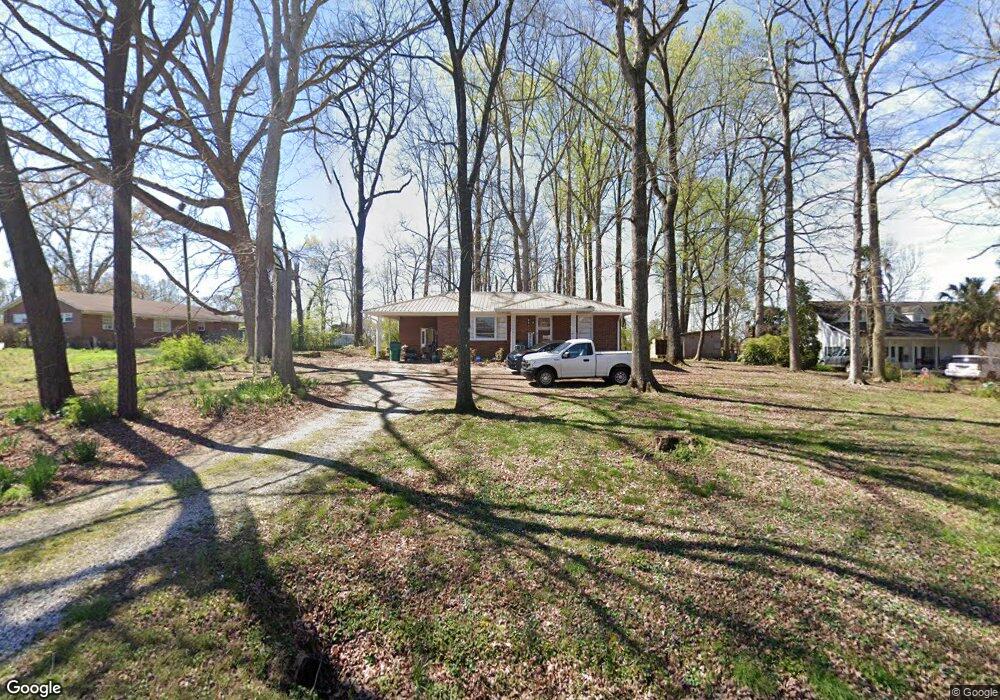
55 Highway 198 Carnesville, GA 30521
Estimated Value: $131,000 - $172,000
2
Beds
1
Bath
936
Sq Ft
$169/Sq Ft
Est. Value
About This Home
This home is located at 55 Highway 198, Carnesville, GA 30521 and is currently estimated at $158,104, approximately $168 per square foot. 55 Highway 198 is a home located in Franklin County with nearby schools including Franklin County High School.
Ownership History
Date
Name
Owned For
Owner Type
Purchase Details
Closed on
Jun 7, 2021
Sold by
Buckmaster Benjamin
Bought by
Buckmaster Benjamin and Buckmaster Ashley
Current Estimated Value
Purchase Details
Closed on
Jun 10, 2004
Sold by
Gipson Juanita Wayne Michael
Bought by
Martin Michael and Martin Teresa
Purchase Details
Closed on
Apr 8, 2004
Sold by
Davison A H
Bought by
Gipson Juanita Wayne Michael and Gipson Juanita Bobb
Create a Home Valuation Report for This Property
The Home Valuation Report is an in-depth analysis detailing your home's value as well as a comparison with similar homes in the area
Home Values in the Area
Average Home Value in this Area
Purchase History
| Date | Buyer | Sale Price | Title Company |
|---|---|---|---|
| Buckmaster Benjamin | $128,000 | -- | |
| Buckmaster Benjamin | $128,000 | -- | |
| Martin Michael | $40,000 | -- | |
| Gipson Juanita Wayne Michael | -- | -- |
Source: Public Records
Tax History Compared to Growth
Tax History
| Year | Tax Paid | Tax Assessment Tax Assessment Total Assessment is a certain percentage of the fair market value that is determined by local assessors to be the total taxable value of land and additions on the property. | Land | Improvement |
|---|---|---|---|---|
| 2025 | $1,178 | $50,982 | $6,836 | $44,146 |
| 2024 | $1,023 | $42,991 | $2,734 | $40,257 |
| 2023 | $1,008 | $39,084 | $2,486 | $36,598 |
| 2022 | $908 | $35,184 | $1,926 | $33,258 |
| 2021 | $636 | $23,131 | $1,926 | $21,205 |
| 2020 | $552 | $19,840 | $1,926 | $17,914 |
| 2019 | $533 | $19,840 | $1,926 | $17,914 |
| 2018 | $486 | $18,080 | $2,494 | $15,586 |
| 2017 | $505 | $18,080 | $2,494 | $15,586 |
| 2016 | $466 | $15,972 | $2,494 | $13,478 |
| 2015 | -- | $15,972 | $2,494 | $13,478 |
| 2014 | -- | $13,059 | $2,494 | $10,566 |
| 2013 | -- | $13,059 | $2,493 | $10,565 |
Source: Public Records
Map
Nearby Homes
- 0 Georgia 198
- 0 Morris Trail Unit 10394631
- 0 Morris Trail Unit 7470661
- 5821 Georgia 320
- 110 Adaline Ct
- 7660 Sandy Cross Rd
- 8188 Sandy Cross Rd
- 7 Crest View Cir
- 1845 Old Stagecoach Rd
- 210 Nora Moss Ln
- 95 Farmers Academy Rd
- 0 Sandy Cross Rd Unit 10657604
- 0 Old Federal Rd Unit 6931372
- HWY 51 Owl Hollow Rd
- 735 Bowersville Rd
- 7690 Royston Rd
- 0 Manley St Unit 10611784
- 8065 Sandy Cross Rd
- 2695 Brays Lake Rd
- 2556 Turkey Creek Rd
- 18010 Georgia 59
- 18010 Highway 59
- 71 Highway 198
- 00 Georgia 198
- 0 Highway 198 Unit C 7027689
- 0 Highway 198 Unit 7152848
- 0 Highway 198 Unit 8859344
- 0 Highway 198 Unit 8537182
- 16 Highway 198
- 3 AC Spiva Cove Unit 3
- 3 AC Spiva Cove
- 18019 Highway 59
- 18065 Highway 59
- 1341 Nelms Rd
- 18165 Highway 59
- 18240 Highway 59
- 240 Highway 198
- 1260 Nelms Rd
- 1242 Nelms Rd
- 1311 Nelms Rd