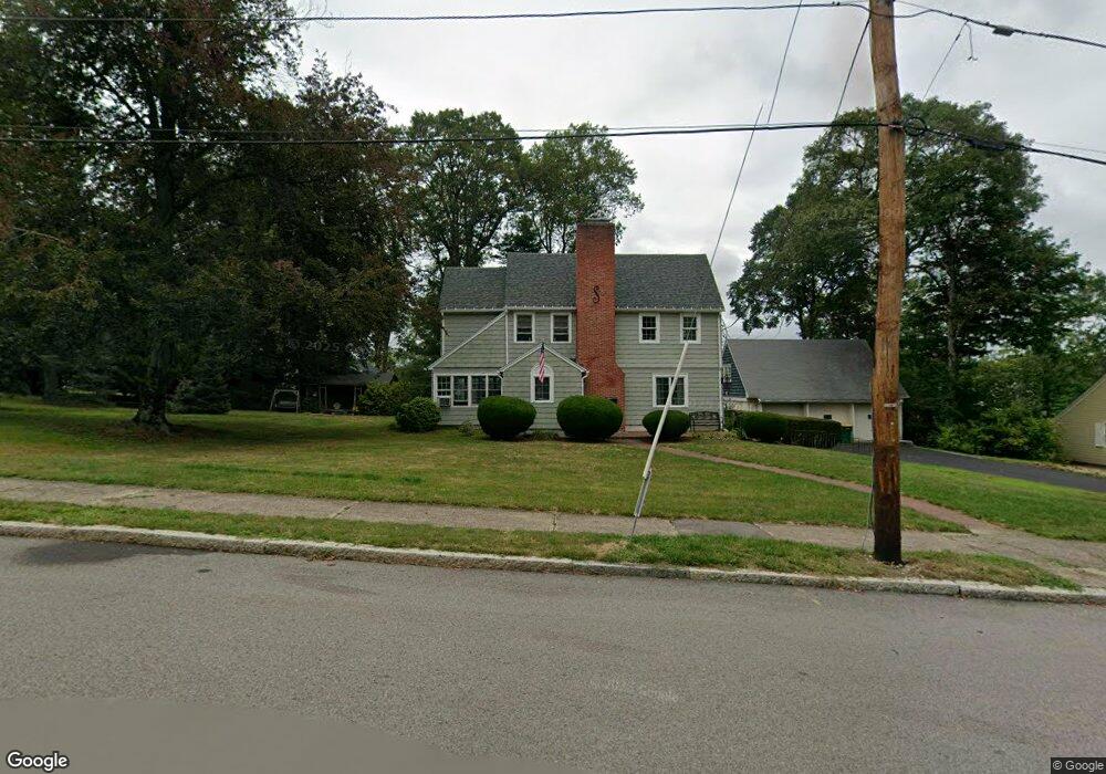
55 Hunting St North Attleboro, MA 02760
North Attleboro NeighborhoodEstimated Value: $592,000 - $698,737
3
Beds
3
Baths
2,744
Sq Ft
$240/Sq Ft
Est. Value
About This Home
This home is located at 55 Hunting St, North Attleboro, MA 02760 and is currently estimated at $657,684, approximately $239 per square foot. 55 Hunting St is a home located in Bristol County with nearby schools including North Attleboro High School, Cadence Academy Preschool - North Attleborough, and Bishop Feehan High School.
Ownership History
Date
Name
Owned For
Owner Type
Purchase Details
Closed on
Jun 16, 1992
Sold by
Blackinton John R and Blackinton Thelma T
Bought by
Dean Peter R and Dean Lisa M
Current Estimated Value
Home Financials for this Owner
Home Financials are based on the most recent Mortgage that was taken out on this home.
Original Mortgage
$170,000
Interest Rate
8.79%
Mortgage Type
Purchase Money Mortgage
Create a Home Valuation Report for This Property
The Home Valuation Report is an in-depth analysis detailing your home's value as well as a comparison with similar homes in the area
Home Values in the Area
Average Home Value in this Area
Purchase History
| Date | Buyer | Sale Price | Title Company |
|---|---|---|---|
| Dean Peter R | $230,000 | -- |
Source: Public Records
Mortgage History
| Date | Status | Borrower | Loan Amount |
|---|---|---|---|
| Open | Dean Peter R | $155,000 | |
| Closed | Dean Peter R | $173,000 | |
| Closed | Dean Peter R | $170,000 |
Source: Public Records
Tax History Compared to Growth
Tax History
| Year | Tax Paid | Tax Assessment Tax Assessment Total Assessment is a certain percentage of the fair market value that is determined by local assessors to be the total taxable value of land and additions on the property. | Land | Improvement |
|---|---|---|---|---|
| 2025 | $6,975 | $591,600 | $156,500 | $435,100 |
| 2024 | $6,941 | $601,500 | $156,500 | $445,000 |
| 2023 | $6,771 | $529,400 | $163,300 | $366,100 |
| 2022 | $6,379 | $457,900 | $156,500 | $301,400 |
| 2021 | $6,648 | $465,900 | $156,500 | $309,400 |
| 2020 | $6,407 | $446,500 | $156,500 | $290,000 |
| 2019 | $6,156 | $432,300 | $142,300 | $290,000 |
| 2018 | $5,551 | $416,100 | $142,300 | $273,800 |
| 2017 | $5,501 | $416,100 | $142,300 | $273,800 |
| 2016 | $5,408 | $409,100 | $165,000 | $244,100 |
| 2015 | $5,289 | $402,500 | $171,900 | $230,600 |
| 2014 | $5,048 | $381,300 | $150,700 | $230,600 |
Source: Public Records
Map
Nearby Homes
- 80 Broadway Unit 9
- 130 E Washington St Unit 57
- 130 E Washington St Unit 71
- 23-R Eddy Street (Eddy St Rear)
- Lot 6 Sperry Ln
- 300 E Washington St Unit 54R
- 300 E Washington St Unit 20N
- 137 Sumner St
- 41 Roosevelt Ave
- 40 Roosevelt Ave
- 36 Jefferson St
- 17 Holbrook Ave
- 93 Bank St
- 121 E Washington St Unit 8
- 121 E Washington St Unit 12
- 121 E Washington St Unit 13
- 121 E Washington St Unit 11
- 16 Johnson St
- 138 Jefferson St
- 16 Richards Ave Unit 106