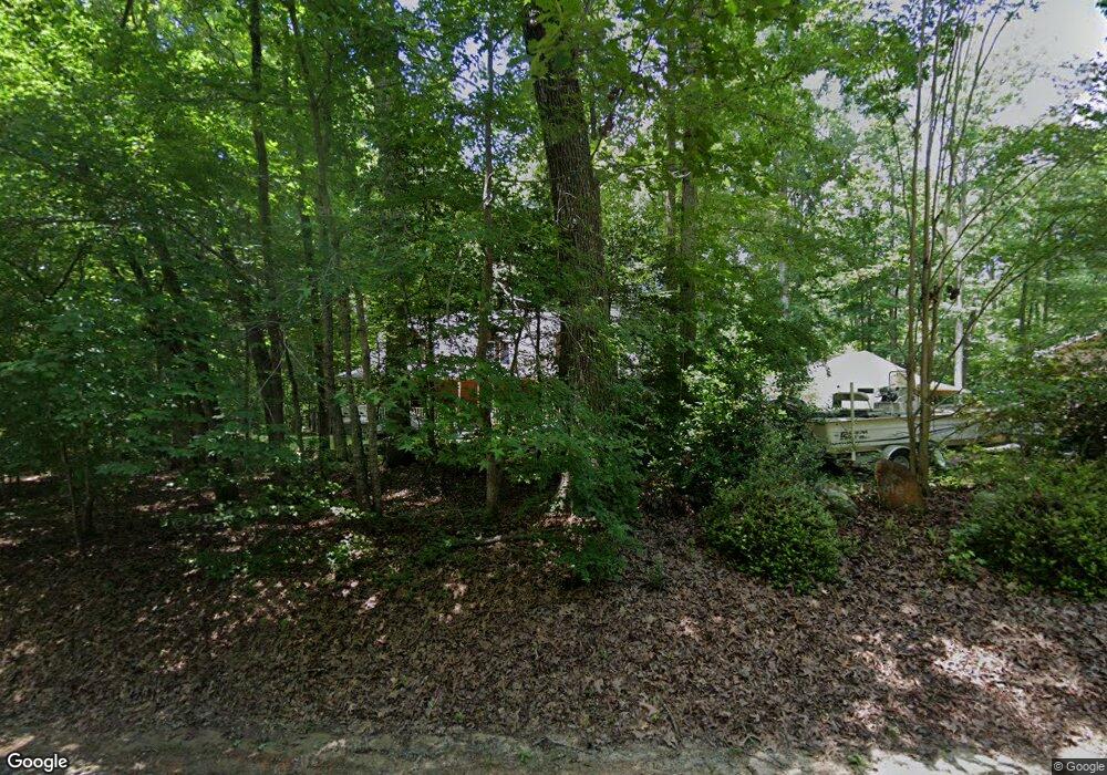
55 Indian Landing Dr Pittsboro, NC 27312
Estimated Value: $510,000 - $720,000
4
Beds
3
Baths
2,285
Sq Ft
$270/Sq Ft
Est. Value
About This Home
This home is located at 55 Indian Landing Dr, Pittsboro, NC 27312 and is currently estimated at $616,171, approximately $269 per square foot. 55 Indian Landing Dr is a home located in Chatham County with nearby schools including Perry W. Harrison Elementary School, Margaret B. Pollard Middle School, and Northwood High.
Ownership History
Date
Name
Owned For
Owner Type
Purchase Details
Closed on
Jun 24, 2011
Sold by
Fugitt Gary P and Fugitt Susan K
Bought by
Ake Phyllis J and Fields Susan G
Current Estimated Value
Home Financials for this Owner
Home Financials are based on the most recent Mortgage that was taken out on this home.
Original Mortgage
$101,000
Outstanding Balance
$69,344
Interest Rate
4.62%
Mortgage Type
New Conventional
Estimated Equity
$546,827
Create a Home Valuation Report for This Property
The Home Valuation Report is an in-depth analysis detailing your home's value as well as a comparison with similar homes in the area
Home Values in the Area
Average Home Value in this Area
Purchase History
| Date | Buyer | Sale Price | Title Company |
|---|---|---|---|
| Ake Phyllis J | $201,000 | None Available |
Source: Public Records
Mortgage History
| Date | Status | Borrower | Loan Amount |
|---|---|---|---|
| Open | Ake Phyllis J | $101,000 |
Source: Public Records
Tax History Compared to Growth
Tax History
| Year | Tax Paid | Tax Assessment Tax Assessment Total Assessment is a certain percentage of the fair market value that is determined by local assessors to be the total taxable value of land and additions on the property. | Land | Improvement |
|---|---|---|---|---|
| 2025 | $5,622 | $659,091 | $79,120 | $579,971 |
| 2024 | $3,852 | $451,564 | $70,100 | $381,464 |
| 2023 | $3,989 | $451,564 | $70,100 | $381,464 |
| 2022 | $3,661 | $451,564 | $70,100 | $381,464 |
| 2021 | $3,616 | $451,564 | $70,100 | $381,464 |
| 2020 | $2,634 | $322,499 | $81,135 | $241,364 |
| 2019 | $2,508 | $306,235 | $81,135 | $225,100 |
| 2018 | $2,364 | $306,235 | $81,135 | $225,100 |
| 2017 | $2,370 | $306,235 | $81,135 | $225,100 |
| 2016 | $2,301 | $294,459 | $81,135 | $213,324 |
| 2015 | $2,296 | $294,459 | $81,135 | $213,324 |
| 2014 | $2,251 | $294,459 | $81,135 | $213,324 |
| 2013 | -- | $294,459 | $81,135 | $213,324 |
Source: Public Records
Map
Nearby Homes
- 4025 Hamlets Chapel Rd
- 2430 Jones Ferry Rd
- 0 Jones Ferry Rd Unit 10129534
- 196 Paces Mill Trail
- 0 Bygone Way
- 334 Blufftonwood Dr Unit 45
- 164 Blufftonwood Dr Unit 35
- 36 Blufftonwood Dr
- 429 Brook Green Ln Unit 21
- 481 Brook Green Ln
- 498 Brook Green Ln Unit 25
- 273 Blufftonwood Dr
- 175 Clear Springs Ct
- 140 Clear Springs Ct Unit 17
- 0 Crawford Dairy Rd Unit 10090315
- 50 Harrison Pond Dr
- 349 Brook Green Ln Unit 19
- 92 Bluffside Ct
- 364 Brook Green Ln Unit 29
- 466 Cedar Grove Rd
- 28 Indian Landing Dr
- 101 Nicks Bend W
- 28 Indian Landing Dr
- 30 Nicks Bend W
- 11 Nicks Bend E
- 98 Nicks Bend W
- 20 Nicks Bend E
- 1024 River Rd
- 824 River Rd
- 90 Nicks Bend W
- 184 Nicks Bend W
- 100 Nicks Bend E
- 995 River Rd
- 128 Nicks Bend E
- 0 River Rd Unit 1910884
- 0 River Rd Unit 4 TR1910884
- 0 River Rd Unit 4
- 298 Nicks Bend W
- 331 Nicks Bend W
- 360 Nicks Bend W