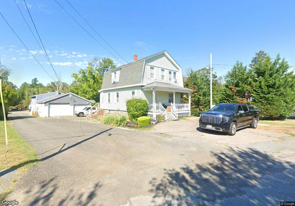
55 Johnson St Unit 1 Taunton, MA 02780
Weir Village NeighborhoodEstimated Value: $454,171
3
Beds
2
Baths
1,320
Sq Ft
$344/Sq Ft
Est. Value
About This Home
This home is located at 55 Johnson St Unit 1, Taunton, MA 02780 and is currently estimated at $454,171, approximately $344 per square foot. 55 Johnson St Unit 1 is a home located in Bristol County with nearby schools including Elizabeth Pole School, Taunton High School, and Our Lady of Lourdes School.
Ownership History
Date
Name
Owned For
Owner Type
Purchase Details
Closed on
Apr 23, 2020
Sold by
Lopes Michael
Bought by
55 Johnson Street Rt and Lopes
Current Estimated Value
Purchase Details
Closed on
Oct 20, 2014
Sold by
Johnson Street Nt and Henshaw
Bought by
Lopes Michael
Home Financials for this Owner
Home Financials are based on the most recent Mortgage that was taken out on this home.
Original Mortgage
$155,000
Interest Rate
4.09%
Mortgage Type
Commercial
Purchase Details
Closed on
Jul 31, 2007
Sold by
Henshaw Ernest H
Bought by
Johnson Street Nt and Henshaw
Create a Home Valuation Report for This Property
The Home Valuation Report is an in-depth analysis detailing your home's value as well as a comparison with similar homes in the area
Home Values in the Area
Average Home Value in this Area
Purchase History
| Date | Buyer | Sale Price | Title Company |
|---|---|---|---|
| 55 Johnson Street Rt | -- | None Available | |
| 55 Johnson Street Rt | -- | None Available | |
| Lopes Michael | $210,000 | -- | |
| Lopes Michael | $210,000 | -- | |
| Johnson Street Nt | -- | -- | |
| Johnson Street Nt | -- | -- |
Source: Public Records
Mortgage History
| Date | Status | Borrower | Loan Amount |
|---|---|---|---|
| Previous Owner | Lopes Michael | $155,000 |
Source: Public Records
Tax History Compared to Growth
Tax History
| Year | Tax Paid | Tax Assessment Tax Assessment Total Assessment is a certain percentage of the fair market value that is determined by local assessors to be the total taxable value of land and additions on the property. | Land | Improvement |
|---|---|---|---|---|
| 2025 | $6,544 | $598,200 | $169,100 | $429,100 |
| 2024 | -- | $551,600 | $169,100 | $382,500 |
| 2023 | $0 | $377,800 | $161,200 | $216,600 |
| 2022 | $0 | $344,000 | $146,800 | $197,200 |
| 2021 | $0 | $332,500 | $146,800 | $185,700 |
| 2020 | $0 | $275,800 | $117,400 | $158,400 |
| 2019 | $0 | $240,300 | $116,200 | $124,100 |
| 2018 | $0 | $229,400 | $111,800 | $117,600 |
| 2017 | $0 | $221,400 | $110,800 | $110,600 |
| 2016 | $4,788 | $218,800 | $110,800 | $108,000 |
| 2015 | $4,788 | $217,400 | $95,200 | $122,200 |
| 2014 | $4,788 | $217,400 | $95,200 | $122,200 |
Source: Public Records
Map
Nearby Homes
- 25 Johnson St Unit B
- 600 County St
- 600 County St Lot A
- 600
- 23 Johnson St Unit C
- 71 Linden St
- 1 Fayal Ave
- 1301 Carriage Ln Unit 1301
- 170 Hart St Unit B
- 29 Williams Ave
- 3 Karena Dr Unit 8
- 11 Williams St
- 41 Hart Ave
- 26 Maynard St Unit A
- 55 Donna Terrace
- 8 Herbert St
- 31 Bruno's Way Unit A
- 11 Talbot Ave
- 28 Barbara Rd
- 6 W Summer St
- 55 Johnson St
- 57 Johnson St
- 517 County St Unit 3
- 517 County St Unit C
- 517 County St
- 517 County St Unit B
- 507 County St
- 507 County St Unit 507
- 507 County St Unit 1
- 45 A&B Johnson St
- 61 Johnson St
- 501 County St
- 537 County St Unit A
- 65 Johnson St
- 493 County St
- 76 Johnson St
- 491 County St
- 496 County St
- 50 Johnson St
- 71 Johnson St