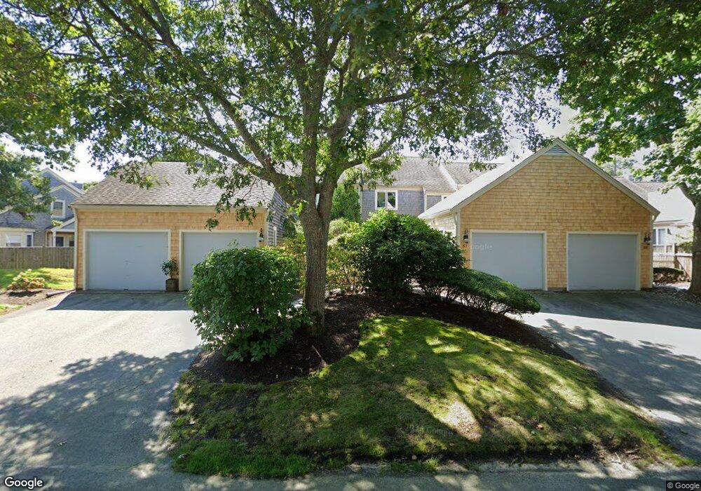
55 Kates Path Yarmouth Port, MA 02675
Yarmouth Port NeighborhoodEstimated Value: $611,000 - $767,000
2
Beds
3
Baths
1,829
Sq Ft
$370/Sq Ft
Est. Value
About This Home
This home is located at 55 Kates Path, Yarmouth Port, MA 02675 and is currently estimated at $676,833, approximately $370 per square foot. 55 Kates Path is a home located in Barnstable County with nearby schools including Dennis-Yarmouth Regional High School.
Ownership History
Date
Name
Owned For
Owner Type
Purchase Details
Closed on
Apr 7, 2022
Sold by
Sheldrick Carolyn J
Bought by
Carolyn J Sheldrick T
Current Estimated Value
Purchase Details
Closed on
Dec 6, 2017
Sold by
Pentek Barbara S and Pentek Gary C
Bought by
Sheldrick Carolyn J
Purchase Details
Closed on
Oct 20, 1997
Sold by
Levins Henrietta Lee
Bought by
Sheldrick Eleanor C
Create a Home Valuation Report for This Property
The Home Valuation Report is an in-depth analysis detailing your home's value as well as a comparison with similar homes in the area
Home Values in the Area
Average Home Value in this Area
Purchase History
| Date | Buyer | Sale Price | Title Company |
|---|---|---|---|
| Carolyn J Sheldrick T | -- | None Available | |
| Sheldrick Carolyn J | $125,000 | -- | |
| Sheldrick Eleanor C | $254,000 | -- |
Source: Public Records
Tax History Compared to Growth
Tax History
| Year | Tax Paid | Tax Assessment Tax Assessment Total Assessment is a certain percentage of the fair market value that is determined by local assessors to be the total taxable value of land and additions on the property. | Land | Improvement |
|---|---|---|---|---|
| 2025 | $4,155 | $586,900 | $0 | $586,900 |
| 2024 | $4,173 | $565,500 | $0 | $565,500 |
| 2023 | $3,754 | $462,900 | $0 | $462,900 |
| 2022 | $4,287 | $467,000 | $0 | $467,000 |
| 2021 | $4,169 | $436,100 | $0 | $436,100 |
| 2020 | $4,207 | $420,700 | $0 | $420,700 |
| 2019 | $3,942 | $390,300 | $0 | $390,300 |
| 2018 | $3,704 | $360,000 | $0 | $360,000 |
| 2017 | $3,456 | $344,900 | $0 | $344,900 |
| 2016 | $3,290 | $329,700 | $0 | $329,700 |
| 2015 | $3,478 | $346,400 | $0 | $346,400 |
Source: Public Records
Map
Nearby Homes
- 228 Kates Path
- 17 Kates Path Unit A
- 64 Kates Path
- 50 John Hall Cartway
- 50 John Hall Cartway Unit 50
- 34 Kates Path
- 34 Kates Path Unit 34
- 42 John Hall Cartway Unit 42
- 7 Forest Gate Unit 7
- 30 W Woods
- 30 W Woods Cir Unit 30
- 43 Canterbury Rd
- 25 Oak Glen Village Unit 25
- 25 Oak Glen
- 2 Pine Grove
- 44 Stratford Ln
- 51 Bray Farm Rd N
- 86 Pompano Rd
- 6 Nimble Hill Dr
- 59 Main St Unit 19-2
- 61 Kates Path
- 59 Kates Path
- 57 Kates Path
- 61 Kates Path Unit A
- 59 Kate's Path Unit 59
- 57 Kates Path Unit 57
- 61 Kates Path Unit 61
- 57 Kates Path Unit 57
- 57 Kates Path Unit 57
- 57 Kates Path
- 57 Kates Path Unit B
- 53 Kates Path
- 51 Kates Path
- 49 Kates Path
- 47 Kates Path
- 45 Kates Path
- 43 Kates Path
- 47 Kates Path Unit 47-B
- 45 Kates Path Unit C45
- 53 Kate's Path