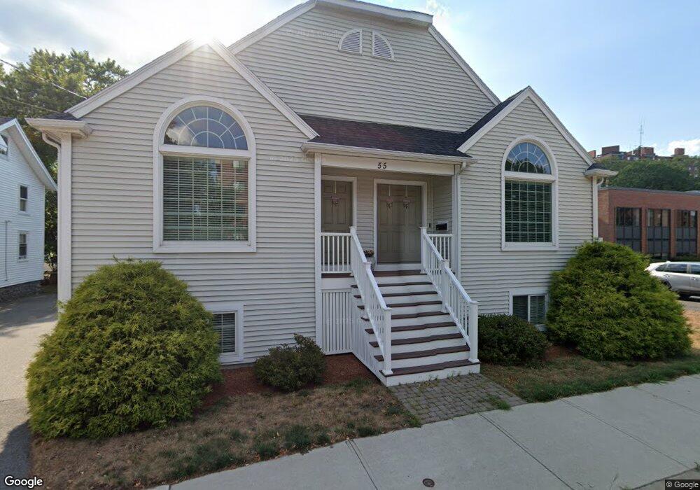
55 Main St Stoneham, MA 02180
Lindenwood NeighborhoodEstimated Value: $485,000 - $910,000
3
Beds
3
Baths
2,451
Sq Ft
$303/Sq Ft
Est. Value
About This Home
This home is located at 55 Main St, Stoneham, MA 02180 and is currently estimated at $743,093, approximately $303 per square foot. 55 Main St is a home located in Middlesex County with nearby schools including Stoneham High School, St. Patrick Elementary School, and St Joseph School.
Ownership History
Date
Name
Owned For
Owner Type
Purchase Details
Closed on
May 30, 2025
Sold by
Ellis Lorraine and Ellis Keith W
Bought by
Keith & Lorraine 2018 Ret and Ellis
Current Estimated Value
Purchase Details
Closed on
Oct 18, 2013
Sold by
Nazarian Ft and Ellis
Bought by
Maguire Marianne and Maguire Matthew J
Create a Home Valuation Report for This Property
The Home Valuation Report is an in-depth analysis detailing your home's value as well as a comparison with similar homes in the area
Home Values in the Area
Average Home Value in this Area
Purchase History
| Date | Buyer | Sale Price | Title Company |
|---|---|---|---|
| Keith & Lorraine 2018 Ret | -- | None Available | |
| Keith & Lorraine 2018 Ret | -- | None Available | |
| Maguire Marianne | -- | -- | |
| Maguire Marianne | -- | -- | |
| Ellis Lorraine | -- | -- |
Source: Public Records
Tax History Compared to Growth
Tax History
| Year | Tax Paid | Tax Assessment Tax Assessment Total Assessment is a certain percentage of the fair market value that is determined by local assessors to be the total taxable value of land and additions on the property. | Land | Improvement |
|---|---|---|---|---|
| 2025 | $7,471 | $730,300 | $0 | $730,300 |
| 2024 | $7,175 | $677,500 | $0 | $677,500 |
| 2023 | $7,146 | $643,800 | $0 | $643,800 |
| 2022 | $6,468 | $621,300 | $0 | $621,300 |
| 2021 | $6,390 | $590,600 | $0 | $590,600 |
| 2020 | $6,187 | $573,400 | $0 | $573,400 |
| 2019 | $6,629 | $590,800 | $0 | $590,800 |
| 2018 | $4,853 | $539,600 | $0 | $539,600 |
| 2017 | $5,652 | $456,200 | $0 | $456,200 |
| 2016 | $5,630 | $443,300 | $0 | $443,300 |
| 2015 | $5,467 | $421,800 | $0 | $421,800 |
| 2014 | $8,697 | $644,700 | $197,600 | $447,100 |
Source: Public Records
Map
Nearby Homes
- 40 Main St Unit 505
- 68 Main St Unit 36C
- 64 Main St Unit 41B
- 97 Oak St
- 62 Abigail Way Unit 3004
- 62 High St Unit 4
- 62 High St Unit 3
- 62 High St Unit Lot 12
- 62 High St Unit Lot 2
- 62 High St Unit Lot 9
- 8 Steele St
- 159 Main St Unit 41C
- 7 Leaning Elm Dr Unit 7
- 97 Macarthur Rd
- 1 Summit Dr Unit 57
- 13 Elaine Rd
- 2 Summit Dr Unit 18
- 20 Oak St
- 4 Adams St
- 40 Friend St