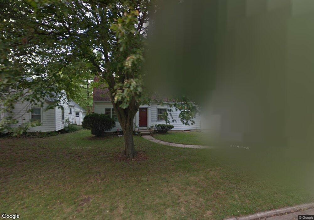
55 Martha Ave Dayton, OH 45458
Estimated Value: $241,000 - $274,000
3
Beds
2
Baths
1,277
Sq Ft
$198/Sq Ft
Est. Value
About This Home
This home is located at 55 Martha Ave, Dayton, OH 45458 and is currently estimated at $252,608, approximately $197 per square foot. 55 Martha Ave is a home located in Montgomery County with nearby schools including Primary Village South, Cline Elementary, and Tower Heights Middle School.
Ownership History
Date
Name
Owned For
Owner Type
Purchase Details
Closed on
Jun 20, 1998
Sold by
Michael Decamp Ronald
Bought by
Bisgaard Robert R and Bisgaard Lisa
Current Estimated Value
Home Financials for this Owner
Home Financials are based on the most recent Mortgage that was taken out on this home.
Original Mortgage
$97,551
Outstanding Balance
$19,719
Interest Rate
7.17%
Mortgage Type
FHA
Estimated Equity
$232,889
Create a Home Valuation Report for This Property
The Home Valuation Report is an in-depth analysis detailing your home's value as well as a comparison with similar homes in the area
Home Values in the Area
Average Home Value in this Area
Purchase History
| Date | Buyer | Sale Price | Title Company |
|---|---|---|---|
| Bisgaard Robert R | $99,900 | -- | |
| Bisgaard Robert R | $99,900 | -- |
Source: Public Records
Mortgage History
| Date | Status | Borrower | Loan Amount |
|---|---|---|---|
| Open | Bisgaard Robert R | $97,551 |
Source: Public Records
Tax History Compared to Growth
Tax History
| Year | Tax Paid | Tax Assessment Tax Assessment Total Assessment is a certain percentage of the fair market value that is determined by local assessors to be the total taxable value of land and additions on the property. | Land | Improvement |
|---|---|---|---|---|
| 2024 | $3,232 | $64,680 | $13,440 | $51,240 |
| 2023 | $3,232 | $64,680 | $13,440 | $51,240 |
| 2022 | $3,296 | $44,910 | $9,330 | $35,580 |
| 2021 | $3,305 | $44,910 | $9,330 | $35,580 |
| 2020 | $3,301 | $44,910 | $9,330 | $35,580 |
| 2019 | $3,275 | $39,770 | $9,330 | $30,440 |
| 2018 | $2,904 | $39,770 | $9,330 | $30,440 |
| 2017 | $2,870 | $39,770 | $9,330 | $30,440 |
| 2016 | $2,877 | $37,620 | $9,330 | $28,290 |
| 2015 | $2,847 | $37,620 | $9,330 | $28,290 |
| 2014 | $2,847 | $37,620 | $9,330 | $28,290 |
| 2012 | -- | $39,380 | $10,190 | $29,190 |
Source: Public Records
Map
Nearby Homes
- 51 Winchester (#E) Place
- 170 S Main St Unit C
- 40 Cemetery Dr
- 210 Anton Ct
- 99 Davis Rd
- 121 Woodfield Place
- 59 Wythe Parish St Unit 4
- 255 Gershwin Dr
- 20 Gershwin Dr
- 129 Bradstreet Rd
- 325 Annette Dr
- 271 Maple Ave
- 284 Tauber Dr
- 35 Bywood Ct
- 694 Spring Ridge Place
- 7687 Normandy Ln
- 85 Poinciana Dr
- 311 Pleasant Hill Dr
- 843 Clareridge Ln Unit 843
- 7767 Brams Hill Dr Unit 7767